
MyTopo
Purgatoire Canyon Colorado US Topo Map
Couldn't load pickup availability
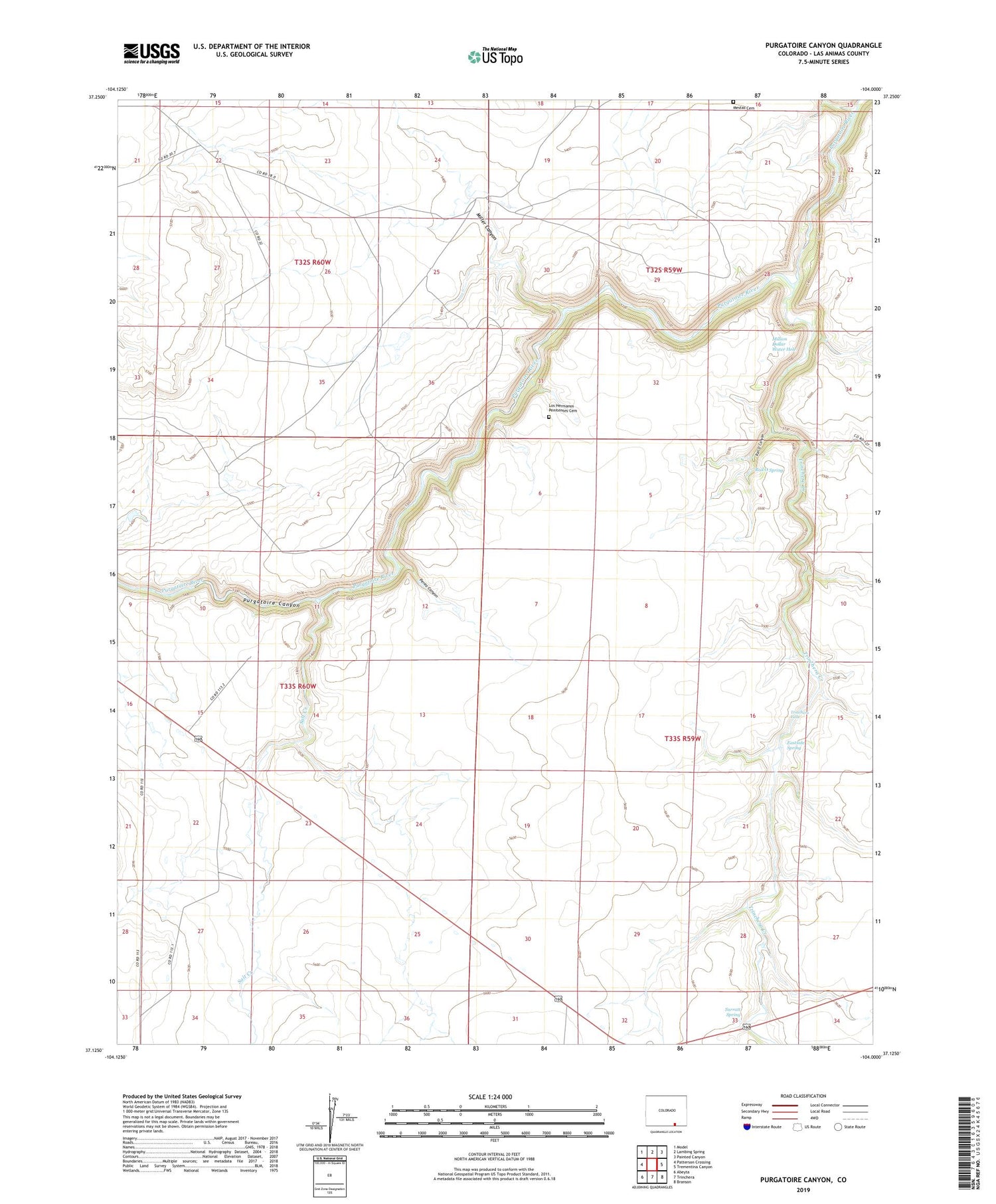
2022 topographic map quadrangle Purgatoire Canyon in the state of Colorado. Scale: 1:24000. Based on the newly updated USGS 7.5' US Topo map series, this map is in the following counties: Las Animas. The map contains contour data, water features, and other items you are used to seeing on USGS maps, but also has updated roads and other features. This is the next generation of topographic maps. Printed on high-quality waterproof paper with UV fade-resistant inks.
Quads adjacent to this one:
West: Patterson Crossing
Northwest: Model
North: Lambing Spring
Northeast: Painted Canyon
East: Trementina Canyon
Southeast: Branson
South: Trinchera
Southwest: Abeyta
Contains the following named places: Eastside Spring, Los Hermanos Penitentes Cemetery, Mestas Cemetery, Miller Canyon, Million Dollar Water Hole, Perea Canyon, Rail O Canyon, Rail O Spring, Salt Creek, Surratt Spring, Trinchera Creek, Trinchera Falls


