MyTopo
Ramah South Colorado US Topo Map
Couldn't load pickup availability
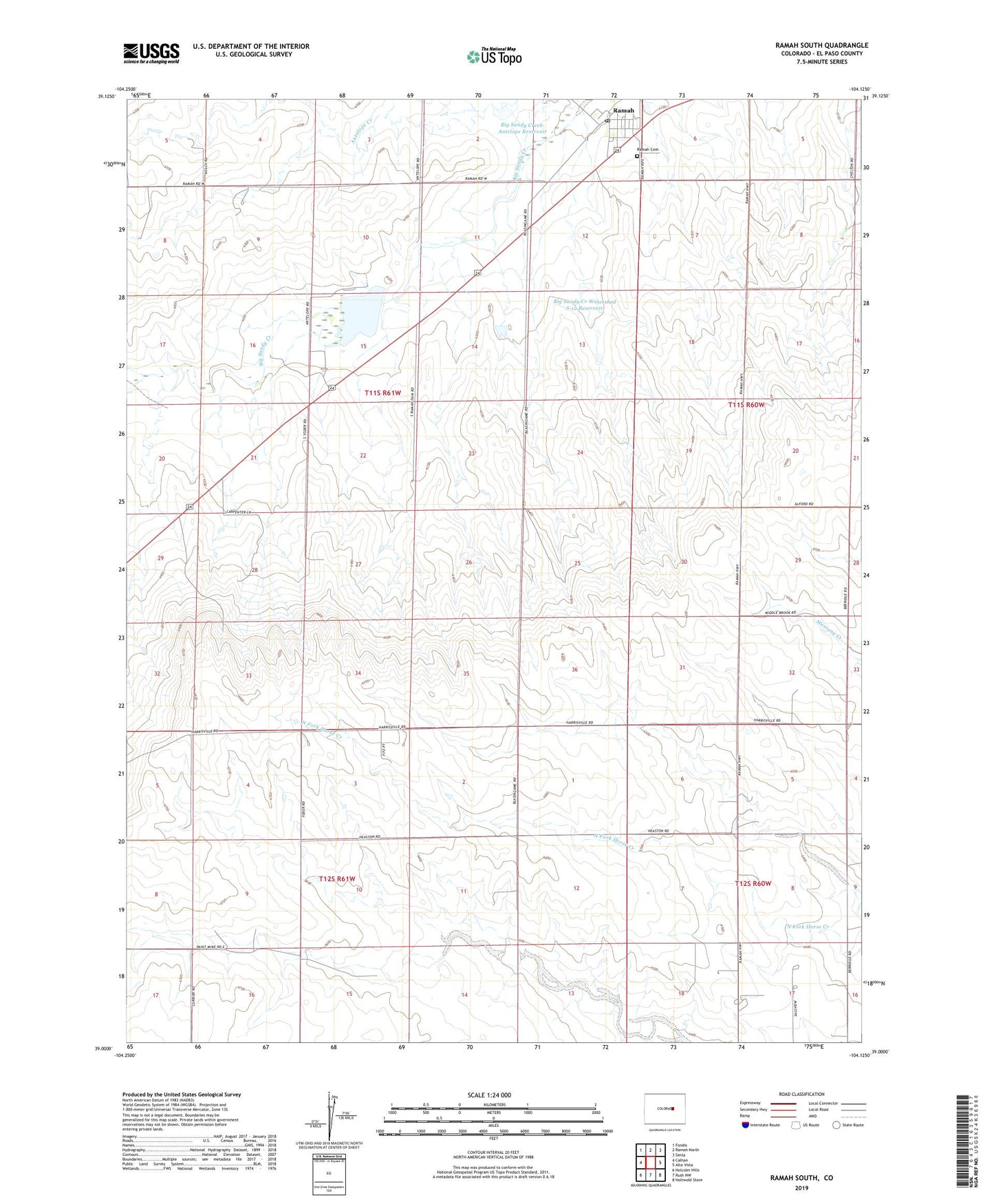
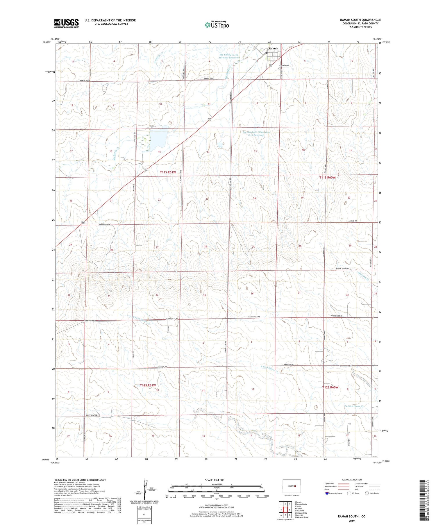
2022 topographic map quadrangle Ramah South in the state of Colorado. Scale: 1:24000. Based on the newly updated USGS 7.5' US Topo map series, this map is in the following counties: El Paso. The map contains contour data, water features, and other items you are used to seeing on USGS maps, but also has updated roads and other features. This is the next generation of topographic maps. Printed on high-quality waterproof paper with UV fade-resistant inks.
Quads adjacent to this one:
West: Calhan
Northwest: Fondis
North: Ramah North
Northeast: Simla
East: Alta Vista
Southeast: Holtwold Store
South: Rush NW
Southwest: Holcolm Hills
This map covers the same area as the classic USGS quad with code o39104a2.
Contains the following named places: Big Sandy Creek Watershed S-12 Dam, Big Sandy Creek Watershed S-12 Reservoir, Big Sandy Creek-Antelope Dam, Big Sandy Creek-Antelope Reservoir, Glen Lawson Number 1 Dam, Glen Lawson Reservoir Number 1, Ramah, Ramah Cemetery, Ramah Detention Recreation Dam, Ramah Post Office, Ramah Reservoir, Town of Ramah