MyTopo
Simla Colorado US Topo Map
Couldn't load pickup availability
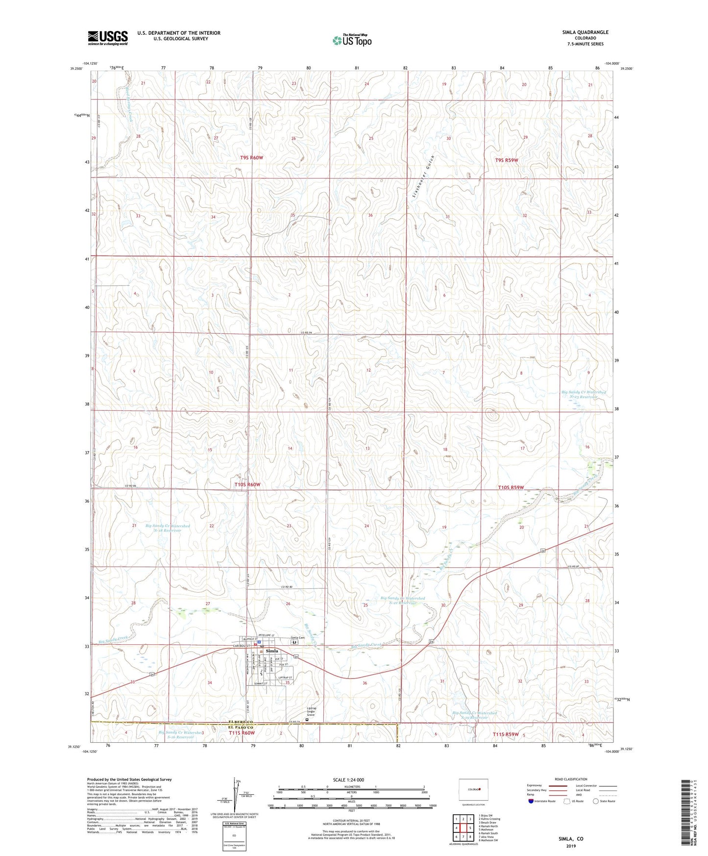
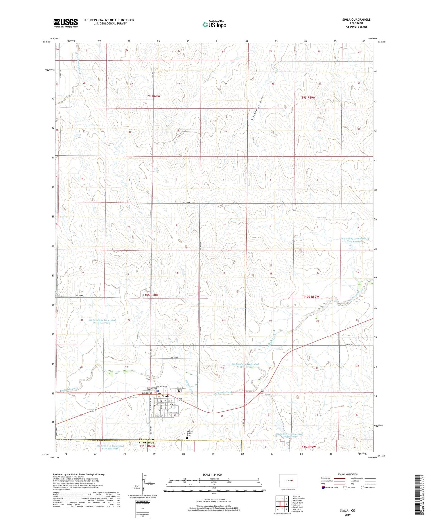
2022 topographic map quadrangle Simla in the state of Colorado. Scale: 1:24000. Based on the newly updated USGS 7.5' US Topo map series, this map is in the following counties: Elbert, El Paso. The map contains contour data, water features, and other items you are used to seeing on USGS maps, but also has updated roads and other features. This is the next generation of topographic maps. Printed on high-quality waterproof paper with UV fade-resistant inks.
Quads adjacent to this one:
West: Ramah North
Northwest: Bijou SW
North: Kuhns Crossing
Northeast: Beuck Draw
East: Matheson
Southeast: Matheson SW
South: Alta Vista
Southwest: Ramah South
This map covers the same area as the classic USGS quad with code o39104b1.
Contains the following named places: Big Sandy Creek Watershed N-18 Dam, Big Sandy Creek Watershed N-18 Reservoir, Big Sandy Creek Watershed N-21 Dam, Big Sandy Creek Watershed N-21 Reservoir, Big Sandy Creek Watershed N-23 Dam, Big Sandy Creek Watershed N-23 Reservoir, Big Sandy Creek Watershed S-16 Dam, Big Sandy Creek Watershed S-16 Reservoir, Big Sandy Creek Watershed S-19 Dam, Big Sandy Creek Watershed S-19 Reservoir, Big Sandy Fire Protection District Simla Fire Department, Liptrap Single Grave, Simla, Simla Cemetery, Simla Elementary School, Simla Junior High School, Simla Police Department, Simla Post Office, Town of Simla, ZIP Code: 80835