MyTopo
Tanner Mesa Colorado US Topo Map
Couldn't load pickup availability
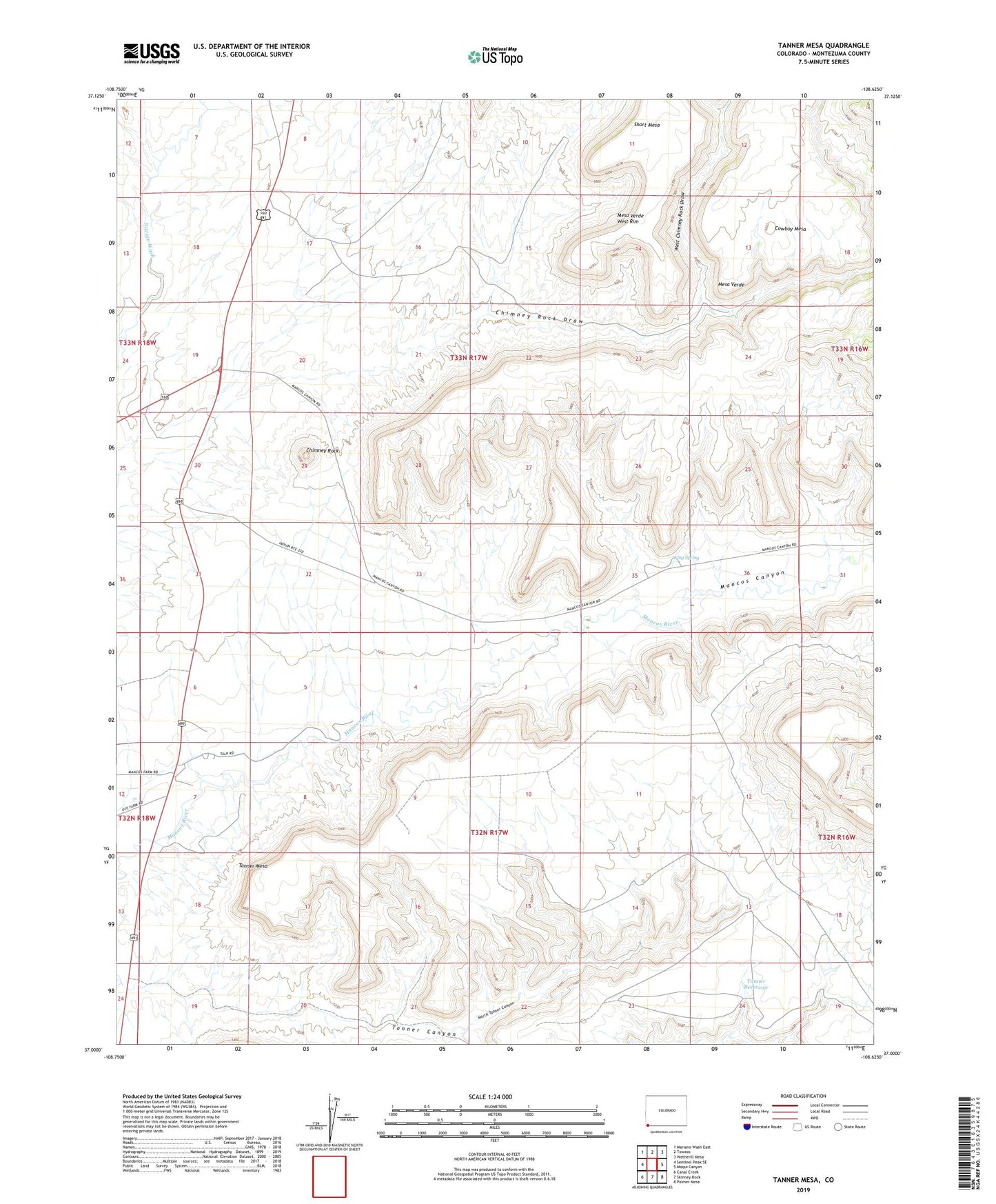
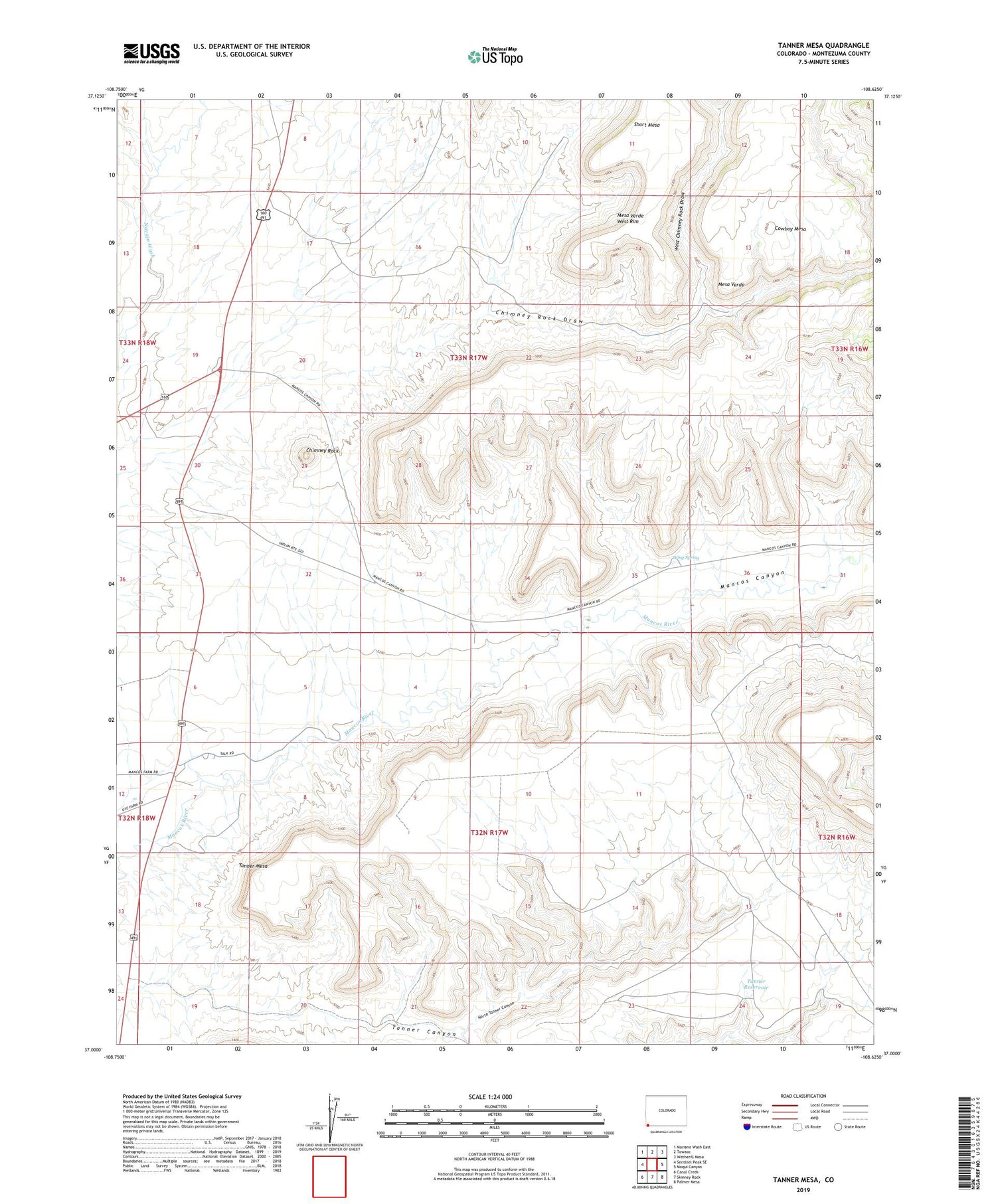
2022 topographic map quadrangle Tanner Mesa in the state of Colorado. Scale: 1:24000. Based on the newly updated USGS 7.5' US Topo map series, this map is in the following counties: Montezuma. The map contains contour data, water features, and other items you are used to seeing on USGS maps, but also has updated roads and other features. This is the next generation of topographic maps. Printed on high-quality waterproof paper with UV fade-resistant inks.
Quads adjacent to this one:
West: Sentinel Peak SE
Northwest: Mariano Wash East
North: Towaoc
Northeast: Wetherill Mesa
East: Moqui Canyon
Southeast: Palmer Mesa
South: Skinney Rock
Southwest: Canal Creek
This map covers the same area as the classic USGS quad with code o37108a6.
Contains the following named places: Chimney Rock, Chimney Rock Draw, Chimney Rock Well, Cowboy Mesa, Mancos Canyon, Mancos River Trading Post, North Tanner Canyon, Short Mesa, Tanner Mesa, Tanner Reservoir, Ute Mountain Reservation, West Chimney Rock Draw, Wing Spring