MyTopo
Bennetts Pier Delaware US Topo Map
Couldn't load pickup availability
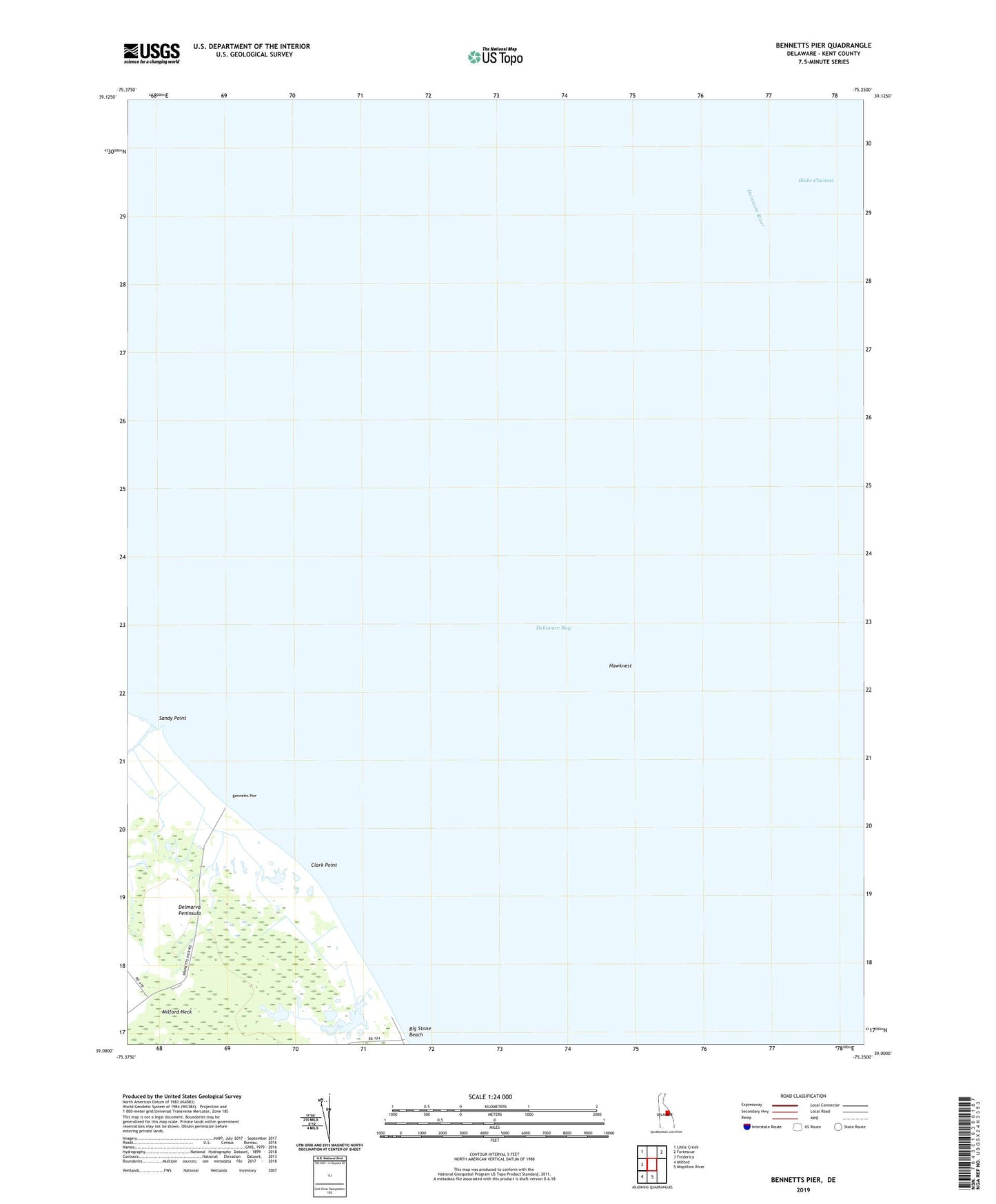
2023 topographic map quadrangle Bennetts Pier in the state of Delaware. Scale: 1:24000. Based on the newly updated USGS 7.5' US Topo map series, this map is in the following counties: Kent. The map contains contour data, water features, and other items you are used to seeing on USGS maps, but also has updated roads and other features. This is the next generation of topographic maps. Printed on high-quality waterproof paper with UV fade-resistant inks.
Quads adjacent to this one:
West: Frederica
Northwest: Little Creek
Northeast: Fortescue
South: Mispillion River
Southwest: Milford
This map covers the same area as the classic USGS quad with code o39075a3.
Contains the following named places: Bennetts Pier, Big Stone Beach, Blake Channel, Cedarbush Hole, Clark Point, Clarks Ditch, Frenchs Mobile Homes, Hawknest, Hawks Inlet, Milford North Division, Sandy Point, The Inner Fork of the Shears