MyTopo
Mispillion River Delaware US Topo Map
Couldn't load pickup availability
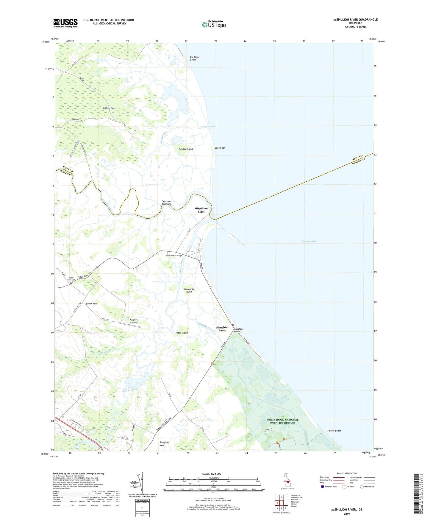
2023 topographic map quadrangle Mispillion River in the state of Delaware. Scale: 1:24000. Based on the newly updated USGS 7.5' US Topo map series, this map is in the following counties: Sussex, Kent. The map contains contour data, water features, and other items you are used to seeing on USGS maps, but also has updated roads and other features. This is the next generation of topographic maps. Printed on high-quality waterproof paper with UV fade-resistant inks.
Quads adjacent to this one:
West: Milford
Northwest: Frederica
North: Bennetts Pier
Southeast: Lewes
South: Milton
Southwest: Ellendale
This map covers the same area as the classic USGS quad with code o38075h3.
Contains the following named places: Battery Hall, Battery Haslet, Beaverdam Branch, Big Stone Beach, Cains Landing, Cedar Beach, Cedar Beach Bridge, Cedar Creek, Cedar Creek Boat Launching Area, Cedar Creek Canal, Cedar Neck, Cedar Neck Cemetery, Cedar Neck School, Cedar Neck United Methodist Church, Conch Bar, Crooked Gut, Davis Landing, Draper-Bennet Ditch, Drapers Inlet, Fort Saulsbury, Fowler Beach, Grecos Canal, Maloneys Landing, Memorial Volunteer Fire Company, Milford Neck Wildlife Area, Milford Neck Wildlife Area - Cedar Creek Unit, Milford South Division, Mispillion Light, Mispillion River, Murphy's Landing, Rawley Island, Revills Landing, Scotts Corners, Sheppards Island, Slaughter Beach, Slaughter Creek, Slaughter Neck, Todds Island, Town of Slaughter Beach, ZIP Code: 19963


