
MyTopo
Cape Romano Florida US Topo Map
Couldn't load pickup availability
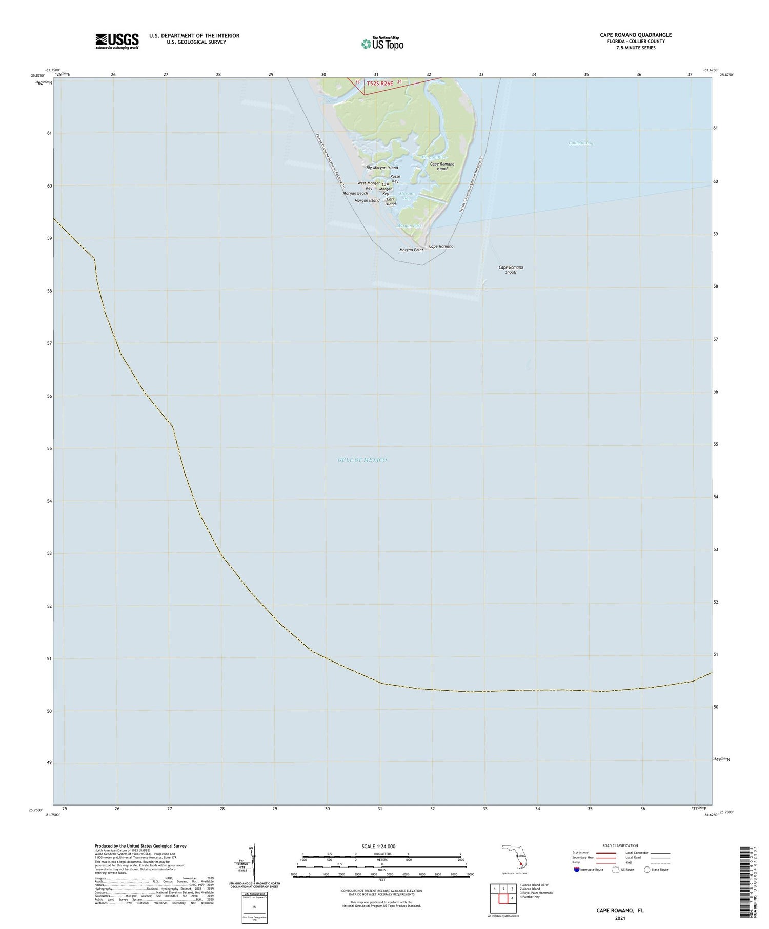
2025 topographic map quadrangle Cape Romano in the state of Florida. Scale: 1:24000. Based on the newly updated USGS 7.5' US Topo map series, this map is in the following counties: Collier. The map contains contour data, water features, and other items you are used to seeing on USGS maps, but also has updated roads and other features. This is the next generation of topographic maps. Printed on high-quality waterproof paper with UV fade-resistant inks.
Quads adjacent to this one:
Northwest: Marco Island OE W
North: Marco Island
Northeast: Royal Palm Hammock
East: Panther Key
Contains the following named places: Big Morgan Island, Blind Pass, Cape Romano, Cape Romano Island, Cape Romano Shoals, Carr Island, East Morgan Key, Morgan Bay, Morgan Beach, Morgan Island, Morgan Key, Morgan Pass, Morgan Point, Morgan River, Rosse Key, West Morgan Key


