MyTopo
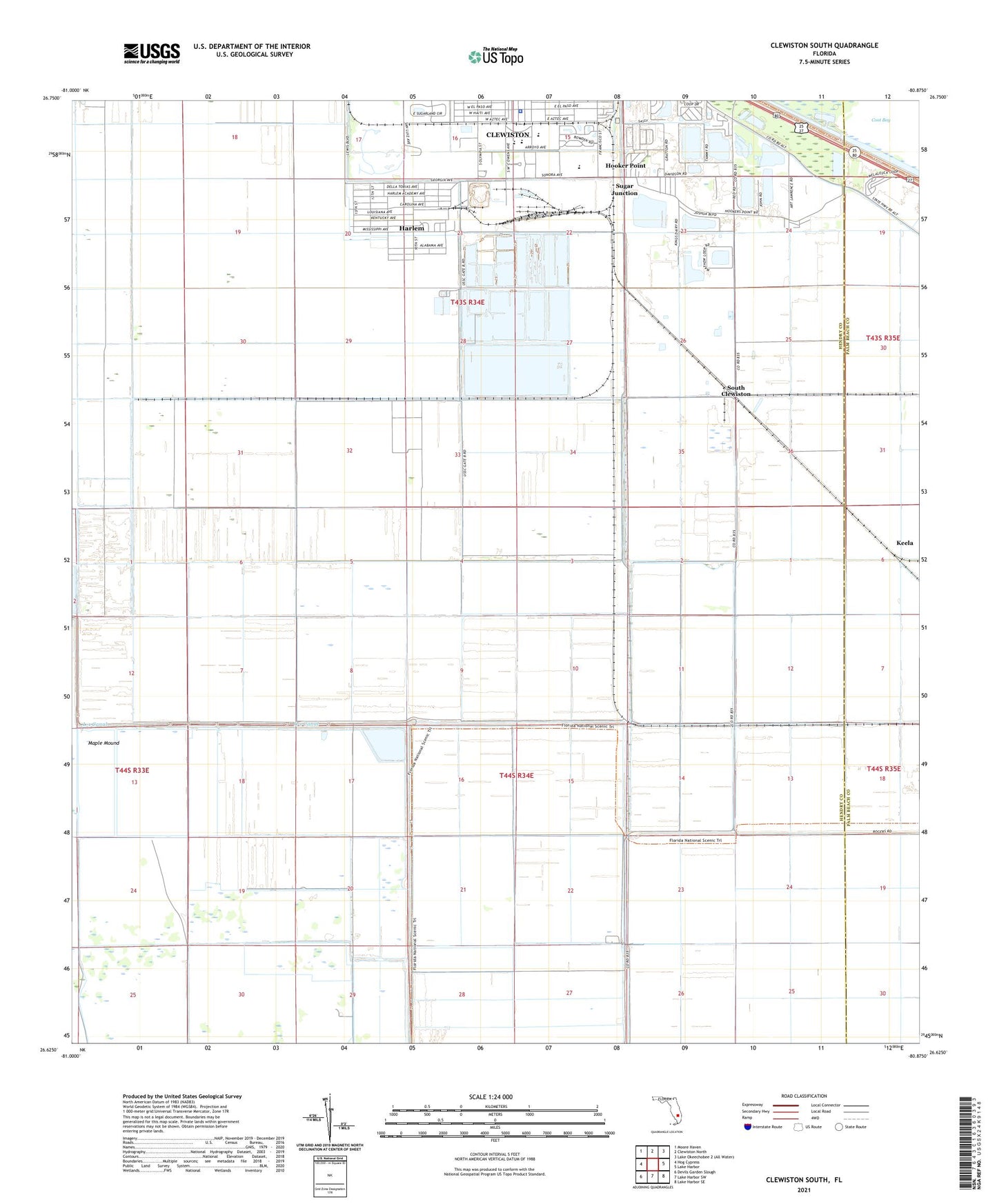
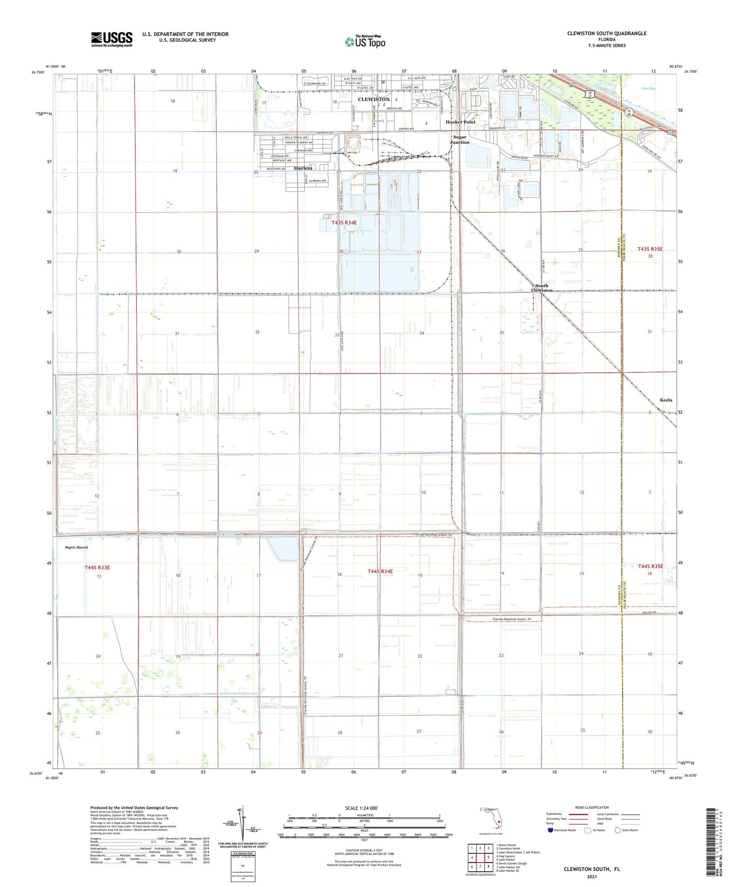
Clewiston South Florida US Topo Map
Couldn't load pickup availability
2024 topographic map quadrangle Clewiston South in the state of Florida. Scale: 1:24000. Based on the newly updated USGS 7.5' US Topo map series, this map is in the following counties: Hendry, Palm Beach. The map contains contour data, water features, and other items you are used to seeing on USGS maps, but also has updated roads and other features. This is the next generation of topographic maps. Printed on high-quality waterproof paper with UV fade-resistant inks.
Quads adjacent to this one:
West: Hog Cypress
Northwest: Moore Haven
North: Clewiston North
East: Lake Harbor
Southeast: Lake Harbor SE
South: Lake Harbor SW
Southwest: Devils Garden Slough
This map covers the same area as the classic USGS quad with code o26080f8.
Contains the following named places: Carolina Golf Club, City of Clewiston Wastewater Treatment Facility, Clewiston Airport, Clewiston High School, Clewiston Primary School, Everglades Mobile Home Park, Fairgrounds Mobile Home Park, First Apostolic Church of Clewiston, Foxbriar Mobile Home Park, Harlem, Harlem Census Designated Place, Harlem Community Library, Hendry County Sheriff's Office East District Headquarters, Hooker Point, Keela, Kites Nest Mobile Home Park, L-1 Canal, Maple Mound, Mount Calvary Missionary Church, New Life Bible Learning Center, Oaklane Mobile Home Park, Seminole Tribe Police, South Clewiston, Sugar Junction, Sugarland Mobile Home Park, Sugarland Park, Tropical Mobile Home Village, Truevine Church, Twin Lakes Mobile Home Estates, WAFC-AM (Clewiston), WAFC-FM (Clewiston)


