MyTopo
Crooked Island Florida US Topo Map
Couldn't load pickup availability
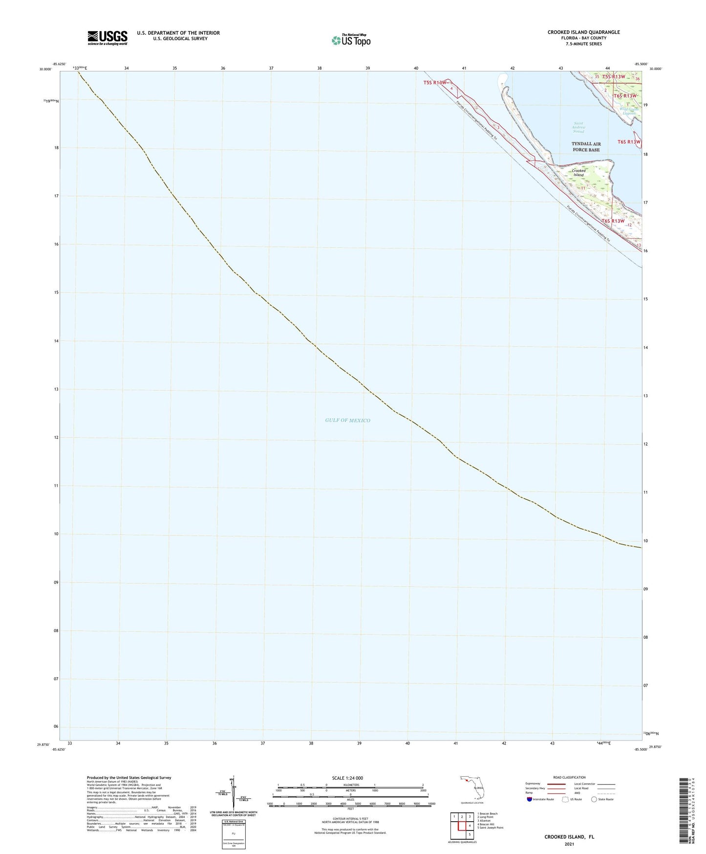
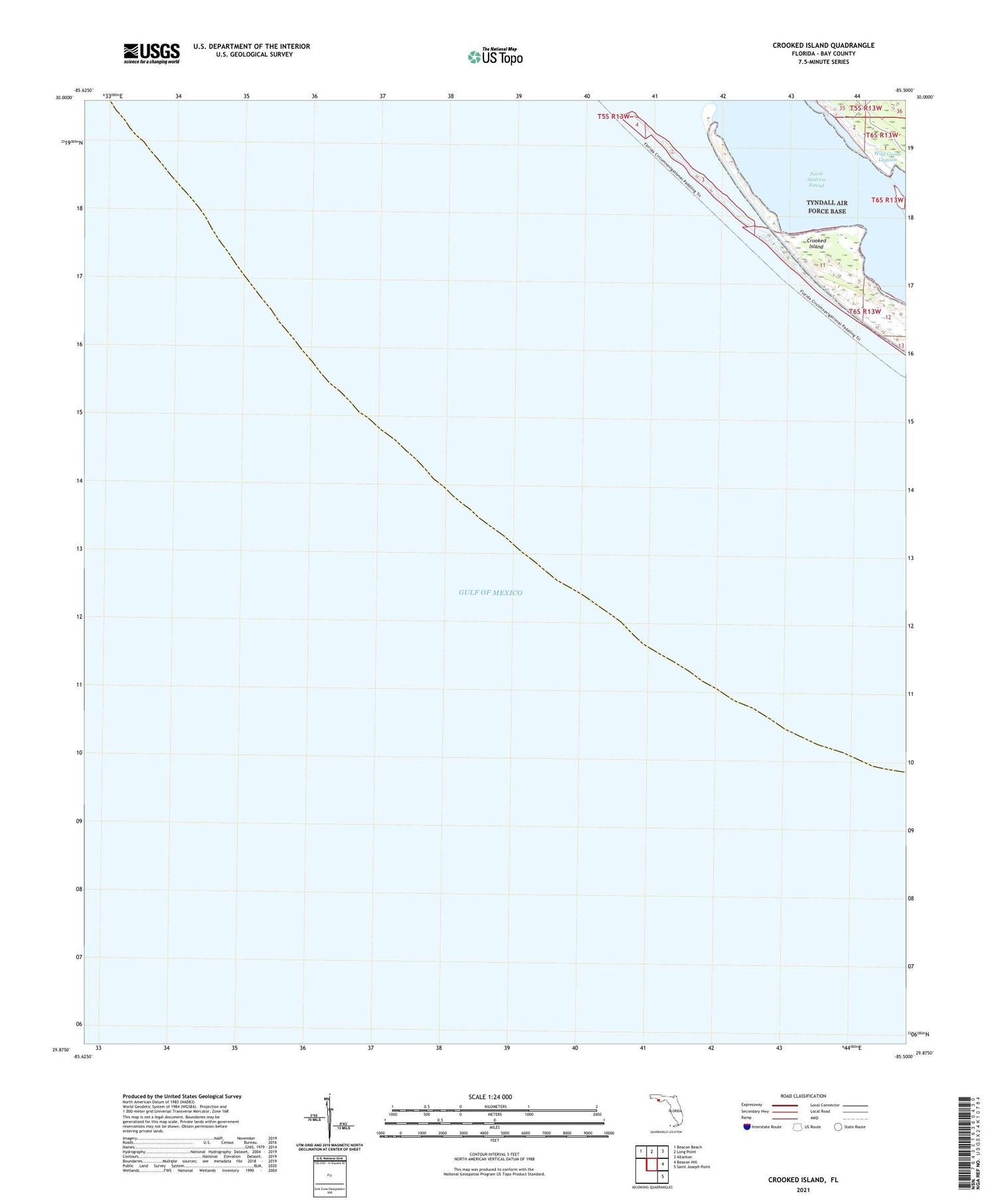
2025 topographic map quadrangle Crooked Island in the state of Florida. Scale: 1:24000. Based on the newly updated USGS 7.5' US Topo map series, this map is in the following counties: Bay. The map contains contour data, water features, and other items you are used to seeing on USGS maps, but also has updated roads and other features. This is the next generation of topographic maps. Printed on high-quality waterproof paper with UV fade-resistant inks.
Quads adjacent to this one:
Northwest: Beacon Beach
North: Long Point
Northeast: Allanton
East: Beacon Hill
Southeast: Saint Joseph Point
This map covers the same area as the classic USGS quad with code o29085h5.
Contains the following named places: Crooked Island