MyTopo
Allanton Florida US Topo Map
Couldn't load pickup availability
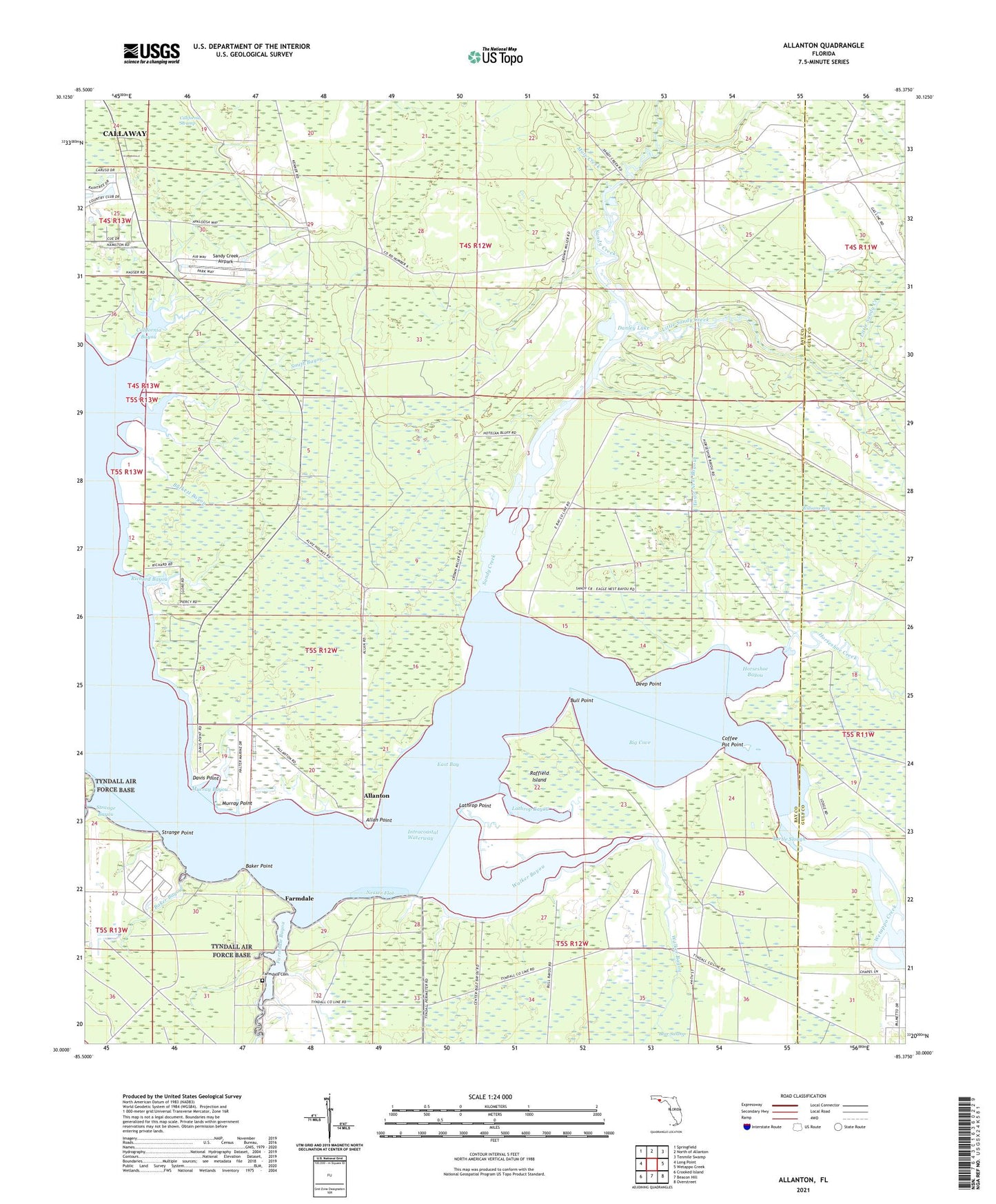
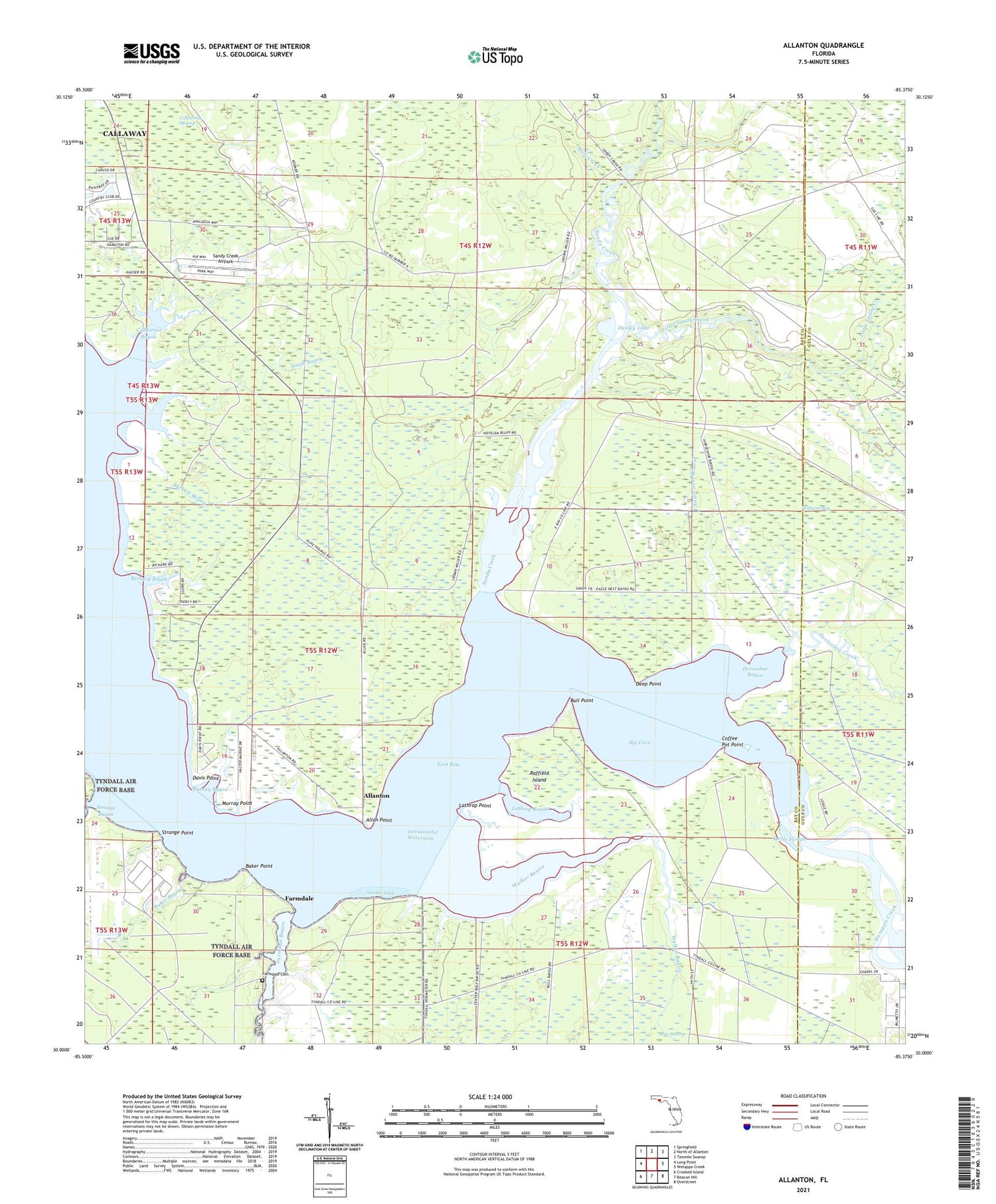
2024 topographic map quadrangle Allanton in the state of Florida. Scale: 1:24000. Based on the newly updated USGS 7.5' US Topo map series, this map is in the following counties: Bay, Gulf. The map contains contour data, water features, and other items you are used to seeing on USGS maps, but also has updated roads and other features. This is the next generation of topographic maps. Printed on high-quality waterproof paper with UV fade-resistant inks.
Quads adjacent to this one:
West: Long Point
Northwest: Springfield
North: North of Allanton
Northeast: Tenmile Swamp
East: Wetappo Creek
Southeast: Overstreet
South: Beacon Hill
Southwest: Crooked Island
This map covers the same area as the classic USGS quad with code o30085a4.
Contains the following named places: Allan Point, Allanton, Baker Bayou, Baker Point, Big Cove, Bull Point, Burkett Bayou, California Bayou, California Swamp, Coffee Pot Point, Danley Lake, Davis Point, Deep Point, Eagle Nest Bayou, Farmdale, Farmdale Bayou, Farmdale Cemetery, Horseshoe Bayou, Horseshoe Creek, Lathrop Bayou, Lathrop Point, Little Sandy Creek, Mule Creek, Murray Bayou, Murray Point, Nesser Flat, Raffield Island, Richard Bayou, Sandy Creek, Sandy Creek Airpark, Smith Bayou, Strange Bayou, Strange Point, Turtle Slough, Walker Bayou, Wetappo, Wetappo Creek, Williams Bay