MyTopo
Dunnellon SE Florida US Topo Map
Couldn't load pickup availability
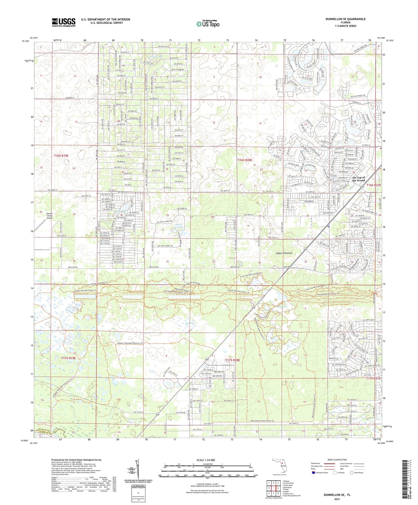
2024 topographic map quadrangle Dunnellon SE in the state of Florida. Scale: 1:24000. Based on the newly updated USGS 7.5' US Topo map series, this map is in the following counties: Marion, Citrus. The map contains contour data, water features, and other items you are used to seeing on USGS maps, but also has updated roads and other features. This is the next generation of topographic maps. Printed on high-quality waterproof paper with UV fade-resistant inks.
Quads adjacent to this one:
West: Dunnellon
Northwest: Romeo
North: Cotton Plant
Northeast: Ocala West
East: Shady
Southeast: Lake Panasoffkee NW
South: Stokes Ferry
Southwest: Holder
This map covers the same area as the classic USGS quad with code o29082a3.
Contains the following named places: Adams Hammock, Airport Beacon Tower, Baby Gator Child Care, Cedar Grove Church, Christian Life Assembly of God, Circle Square Commons, Circle Square Ranch, Episcopal Church of the Advent, FAA Radio Control Tower, First Christian Church, First Christian Church of Dunnellon, Friendship Baptist Church, Lake Otting, Leroy Ponds, Living Water Wesleyan Church, Marion County Airport, Marion County Fire Rescue Station 21 Friendship, Marion County Fire Rescue Station 31, Marion County Sheriff's Office - Southwest District, Oak Run Water Tower, Oak Run Water Treatment Plant, Ocala West United Methodist Church, On Top of the World, On Top of the World Designated Place, Progress Energy Electric Substation, Progress Energy Electric Substation-Circle Square, Progress Energy Electric Substation-Ross Prairie, Rolling Hills, Rolling Ranches, Ross Pond, Ross Prairie, String of Ponds, Sumter Electric Cooperative Substation, Timber Ridge Community Center, Timber Ridge Community Church


