MyTopo
Egmont Key Florida US Topo Map
Couldn't load pickup availability
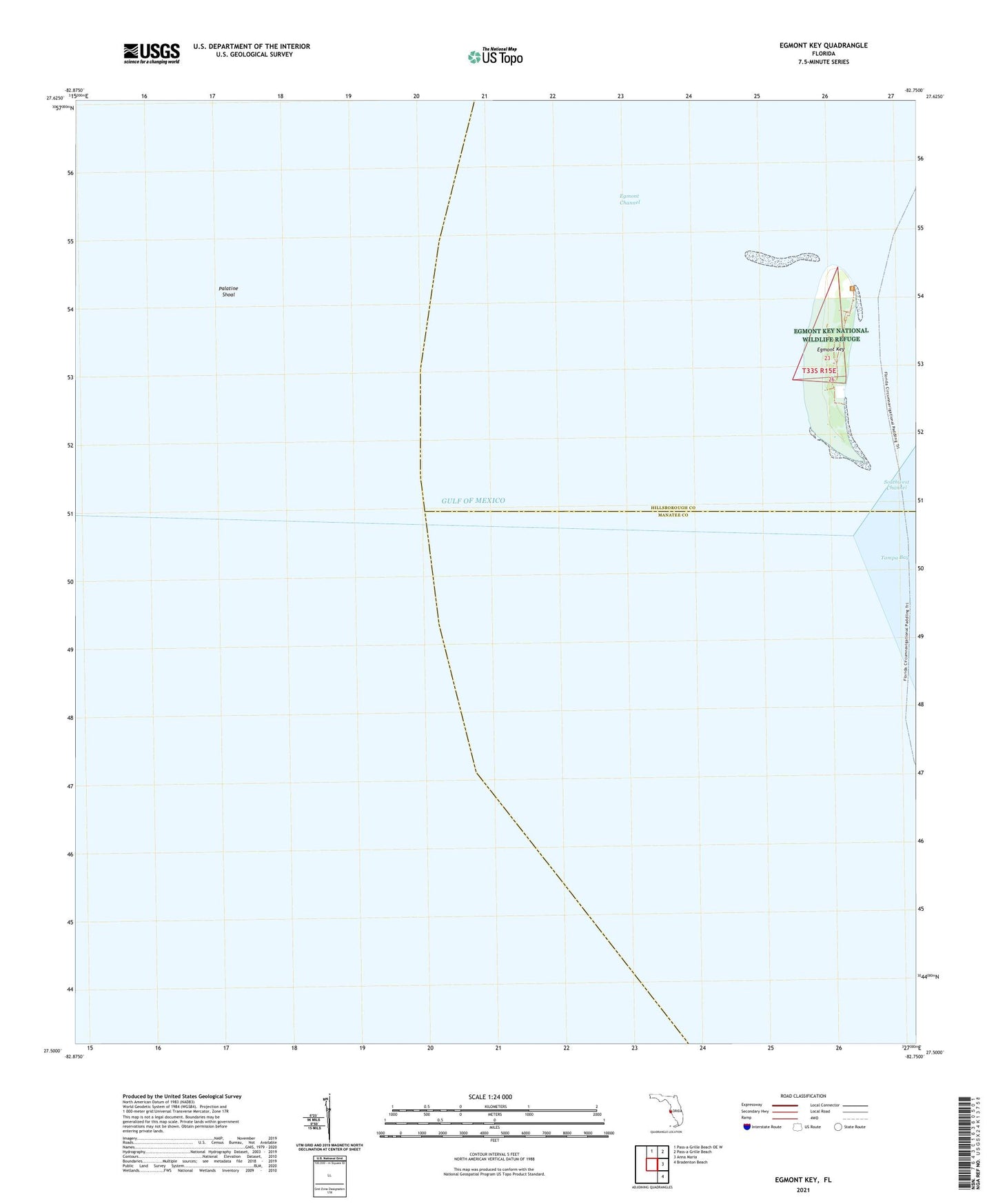
2025 topographic map quadrangle Egmont Key in the state of Florida. Scale: 1:24000. Based on the newly updated USGS 7.5' US Topo map series, this map is in the following counties: Hillsborough, Manatee. The map contains contour data, water features, and other items you are used to seeing on USGS maps, but also has updated roads and other features. This is the next generation of topographic maps. Printed on high-quality waterproof paper with UV fade-resistant inks.
Quads adjacent to this one:
North: Pass-a-Grille Beach OE W
Northeast: Pass-a-Grille Beach
East: Anna Maria
Southeast: Bradenton Beach
This map covers the same area as the classic USGS quad with code o27082e7.
Contains the following named places: Battery Burchsted, Battery Howard, Battery John Page, Battery McIntosh, Battery Mellon, Egmont Channel, Egmont Key, Egmont Key Lighthouse, Egmont Key National Wildlife Refuge, Fort Dade, Old Quarantine Pier Light, Palatine Shoal, Southwest Channel