
MyTopo
Madeira Bay Florida US Topo Map
Couldn't load pickup availability
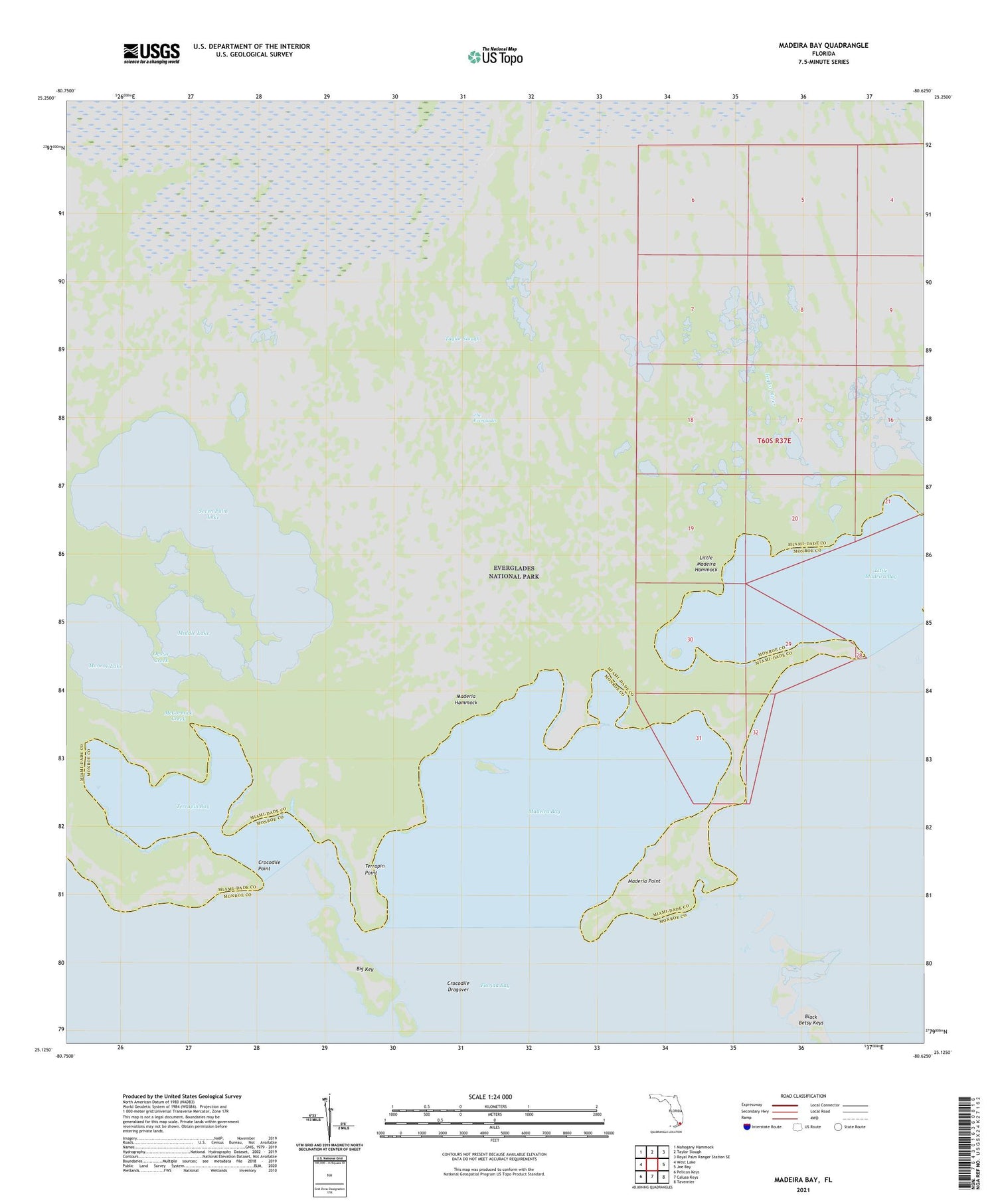
2024 topographic map quadrangle Madeira Bay in the state of Florida. Scale: 1:24000. Based on the newly updated USGS 7.5' US Topo map series, this map is in the following counties: Miami-Dade, Monroe. The map contains contour data, water features, and other items you are used to seeing on USGS maps, but also has updated roads and other features. This is the next generation of topographic maps. Printed on high-quality waterproof paper with UV fade-resistant inks.
Quads adjacent to this one:
West: West Lake
Northwest: Mahogany Hammock
North: Taylor Slough
Northeast: Royal Palm Ranger Station SE
East: Joe Bay
Southeast: Tavernier
South: Calusa Keys
Southwest: Pelican Keys
This map covers the same area as the classic USGS quad with code o25080b6.
Contains the following named places: Big Key, Black Betsy Keys, Carrollton School, Coconut Grove United Methodist Church, Crocodile Dragover, Crocodile Point, Little Madeira Bay, Little Madeira Hammock, Madeira Bay, Maderia Hammock, Maderia Point, McCormick Creek, Middle Lake, Monroe Lake, Oyster Creek, Seven Palm Lake, Taylor River, Terrapin Bay, Terrapin Point


