MyTopo
Miami OE E Florida US Topo Map
Couldn't load pickup availability
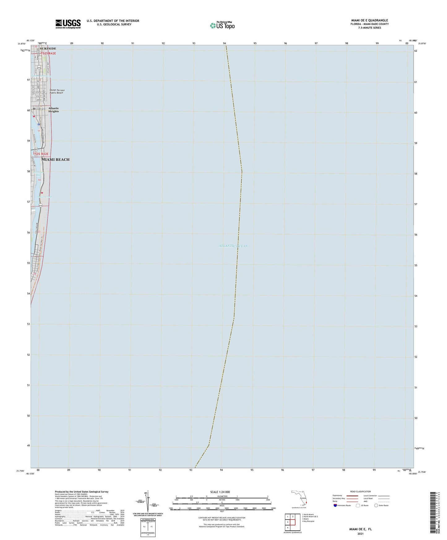
2024 topographic map quadrangle Miami OE E in the state of Florida. Scale: 1:24000. Based on the newly updated USGS 7.5' US Topo map series, this map is in the following counties: Miami-Dade. The map contains contour data, water features, and other items you are used to seeing on USGS maps, but also has updated roads and other features. This is the next generation of topographic maps. Printed on high-quality waterproof paper with UV fade-resistant inks.
Quads adjacent to this one:
West: Miami
Northwest: North Miami
North: North Miami OE E
Southwest: Key Biscayne
Contains the following named places: 36th Street Park, 53rd Street Park, 64th Street Park, Abbott School and Day Care Center, Abc A Learning Preschool, Allison Island, Atlantic Heights, Brittany Bay Park, City of Miami Beach Fire Rescue Department Station 3, Doral Ocean Beach Resort Heliport, Happy Kids Child Care Center, Harding Park, Indian Beach Park, Indian Creek, Miami Beach Division, Miami Beach Fire / Rescue Station 4, Miami Beach Fire Rescue Department Station 4, Miami Beach Police Department Substation, Miami Heart Institute North, Montessori School of Miami Beach, Normandy Post Office, North Bay Park, North Shore Community Center, North Shore Library, North Shore Open Space Park, North Shore Park, Ocean Terrace Public Beach, Pee Wees Nursery and Day Care, Saint Francis Hospital, Saint Josephs School, Tatum Park, Temple Menorah Preschool