MyTopo
Oriole Beach Florida US Topo Map
Couldn't load pickup availability
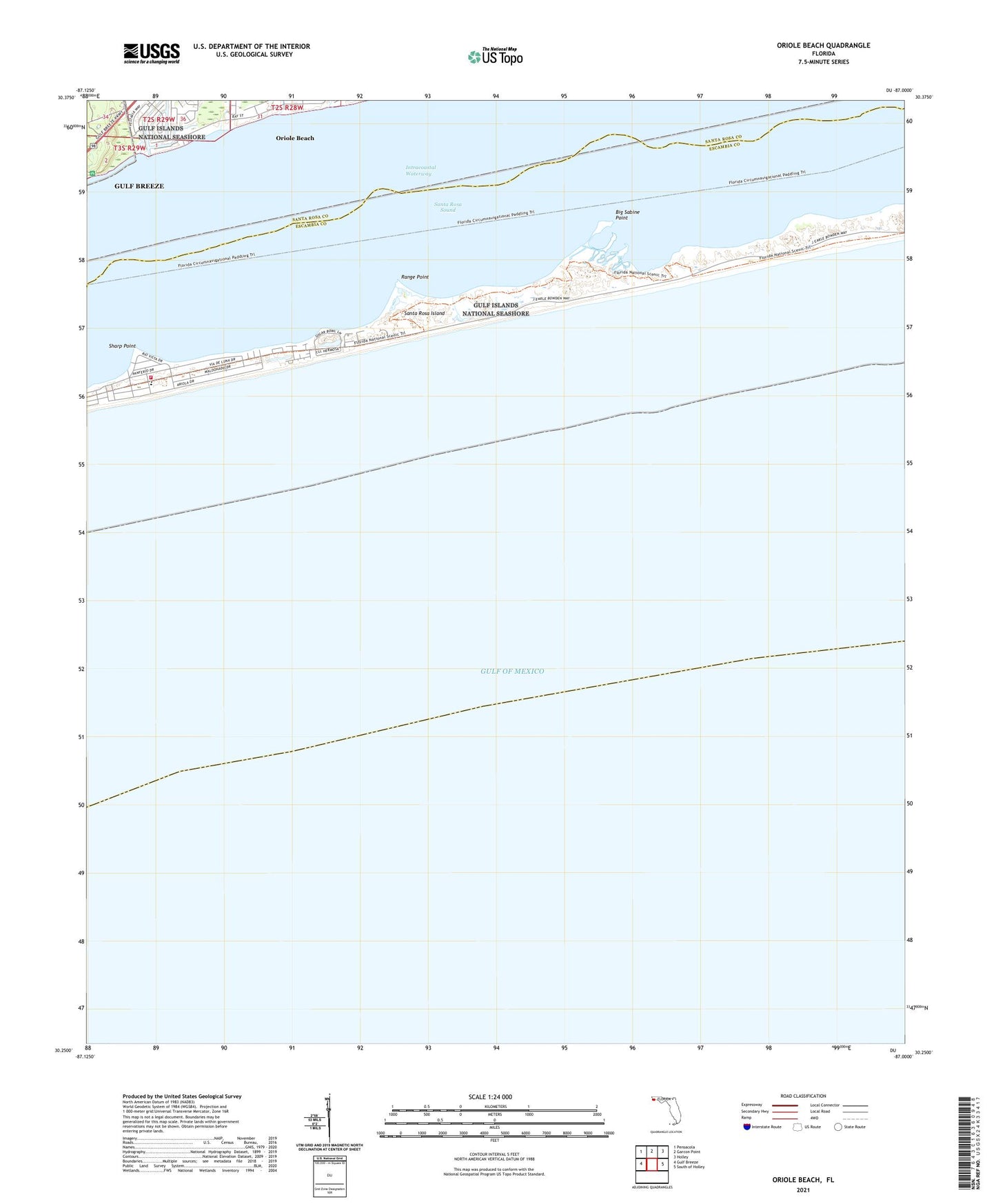
2025 topographic map quadrangle Oriole Beach in the state of Florida. Scale: 1:24000. Based on the newly updated USGS 7.5' US Topo map series, this map is in the following counties: Escambia, Santa Rosa. The map contains contour data, water features, and other items you are used to seeing on USGS maps, but also has updated roads and other features. This is the next generation of topographic maps. Printed on high-quality waterproof paper with UV fade-resistant inks.
Quads adjacent to this one:
West: Gulf Breeze
Northwest: Pensacola
North: Garcon Point
Northeast: Holley
East: South of Holley
This map covers the same area as the classic USGS quad with code o30087c1.
Contains the following named places: Big Sabine Point, Escambia County Fire Rescue Station 13, Oriole Beach, Oriole Beach Census Designated Place, Oriole Beach Elementary School, Pensacola Beach Elementary School, Range Point, Sharp Point, ZIP Code: 32561