MyTopo
Saint Johns Park Florida US Topo Map
Couldn't load pickup availability
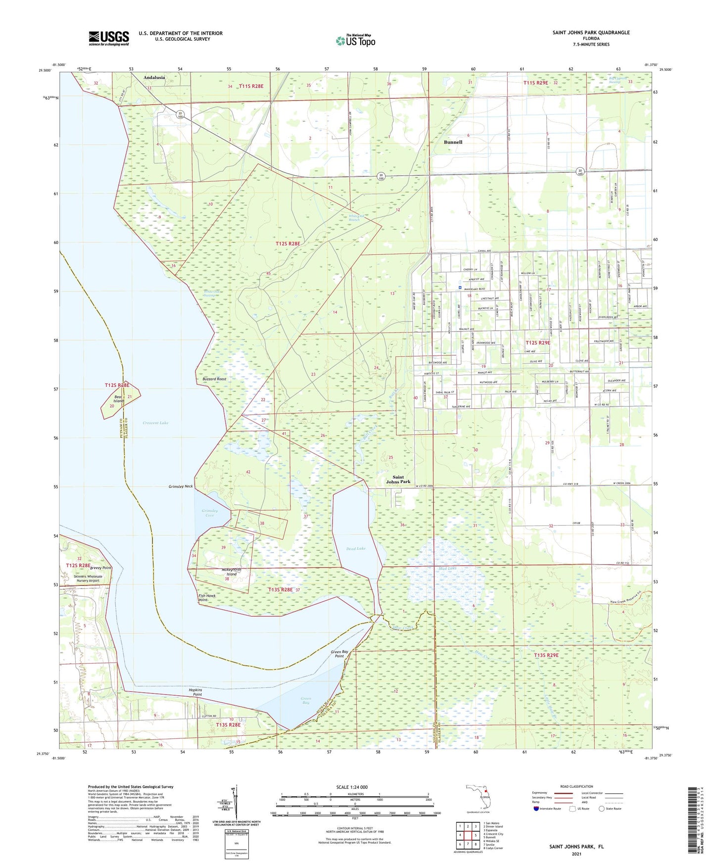
2024 topographic map quadrangle Saint Johns Park in the state of Florida. Scale: 1:24000. Based on the newly updated USGS 7.5' US Topo map series, this map is in the following counties: Flagler, Putnam, Volusia. The map contains contour data, water features, and other items you are used to seeing on USGS maps, but also has updated roads and other features. This is the next generation of topographic maps. Printed on high-quality waterproof paper with UV fade-resistant inks.
Quads adjacent to this one:
West: Crescent City
Northwest: San Mateo
North: Dinner Island
Northeast: Espanola
East: Bunnell
Southeast: Codys Corner
South: Seville
Southwest: Welaka SE
This map covers the same area as the classic USGS quad with code o29081d4.
Contains the following named places: Andalusia, Bear Island, Breezy Point, Bull Creek, Bull Creek Mobile Home Park, Buzzard Roost, Dead Lake, Fish Hawk Point, Flagler County Sheriff's Office West Side Substation, Green Bay, Green Bay Point, Grimsley Cove, Grimsley Neck, Hanks Hideaway Mobile Home Park, Haw Creek, Hopkins Point, Little Haw Creek, McReynolds Island, Mud Lake, New Run, Saint Johns Park, Shell Bluff Landing, Shirley Place, Skinners Wholesale Nursery Airport, White Oak Branch, White Oak Swamp


