MyTopo
Socrum Florida US Topo Map
Couldn't load pickup availability
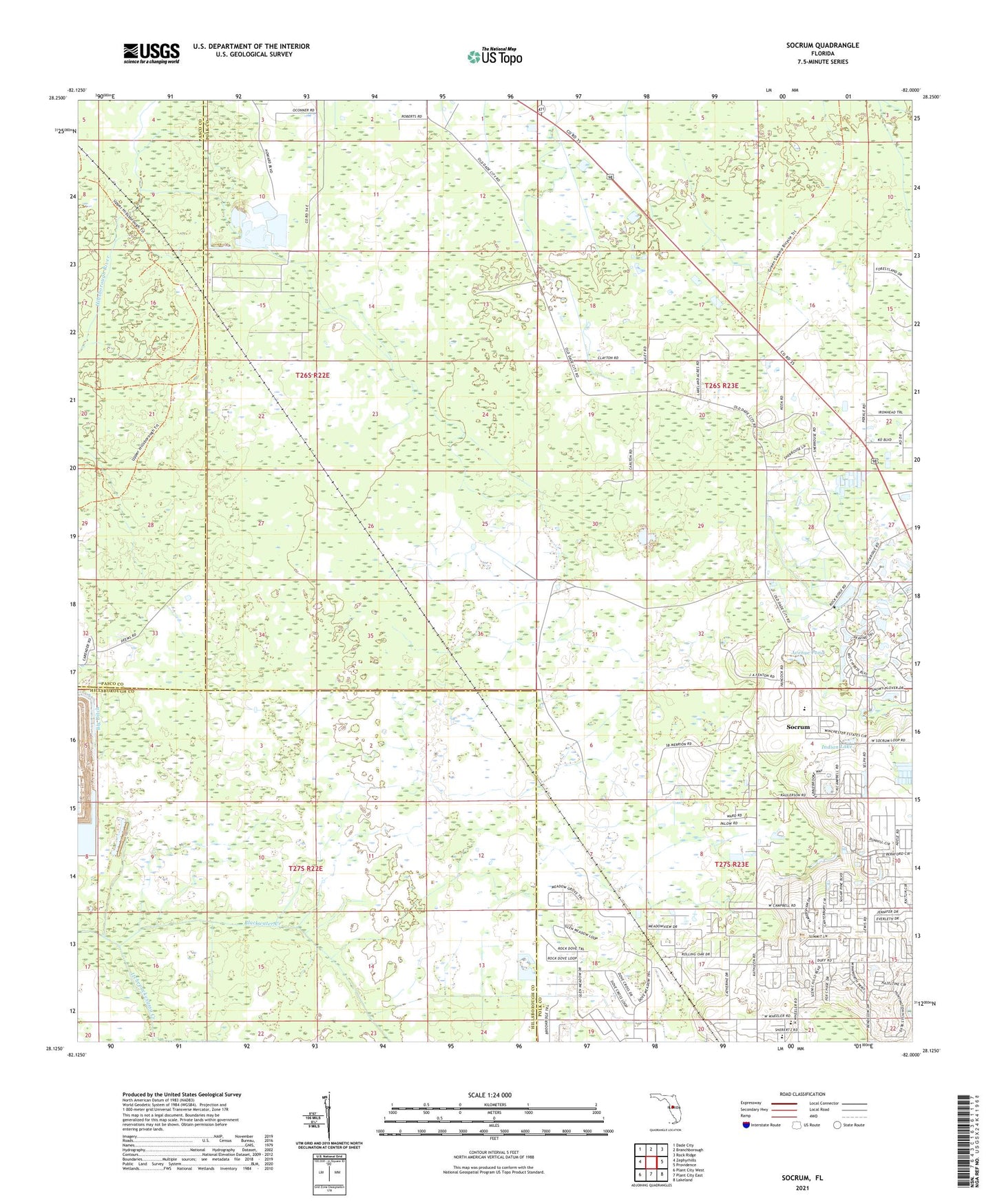
2024 topographic map quadrangle Socrum in the state of Florida. Scale: 1:24000. Based on the newly updated USGS 7.5' US Topo map series, this map is in the following counties: Polk, Hillsborough, Pasco. The map contains contour data, water features, and other items you are used to seeing on USGS maps, but also has updated roads and other features. This is the next generation of topographic maps. Printed on high-quality waterproof paper with UV fade-resistant inks.
Quads adjacent to this one:
West: Zephyrhills
Northwest: Dade City
North: Branchborough
Northeast: Rock Ridge
East: Providence
Southeast: Lakeland
South: Plant City East
Southwest: Plant City West
This map covers the same area as the classic USGS quad with code o28082b1.
Contains the following named places: Avenue Pond, Bethel Church, Cypress Lakes Golf and Country Club Mobile Home Park, Hitchapukasse, Indian Lake, Itchepackesassa Creek, Kathleen Elementary School, Kathleen Middle School, Northside Baptist Church, Providence Fire Tower, Socrum, Stokes Railroad Station, ZIP Codes: 33810, 33849