MyTopo
Steinhatchee SE Florida US Topo Map
Couldn't load pickup availability
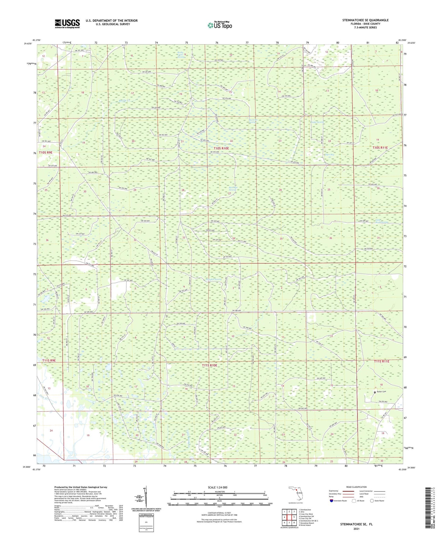
2025 topographic map quadrangle Steinhatchee SE in the state of Florida. Scale: 1:24000. Based on the newly updated USGS 7.5' US Topo map series, this map is in the following counties: Dixie. The map contains contour data, water features, and other items you are used to seeing on USGS maps, but also has updated roads and other features. This is the next generation of topographic maps. Printed on high-quality waterproof paper with UV fade-resistant inks.
Quads adjacent to this one:
West: Steinhatchee SW
Northwest: Steinhatchee
North: Jena
Northeast: Cross City West
East: Cross City SW
Southeast: Shired Island
South: Horseshoe Beach
Southwest: Steinhatchee SW OE S
This map covers the same area as the classic USGS quad with code o29083e3.
Contains the following named places: Bear Bay Swamp, Blue Lake Swamp, Butler Cemetery, Cedar Swamp, Horseshoe, Little Rock Swamp, Tiger Bay, ZIP Code: 32648