MyTopo
Waldo Florida US Topo Map
Couldn't load pickup availability
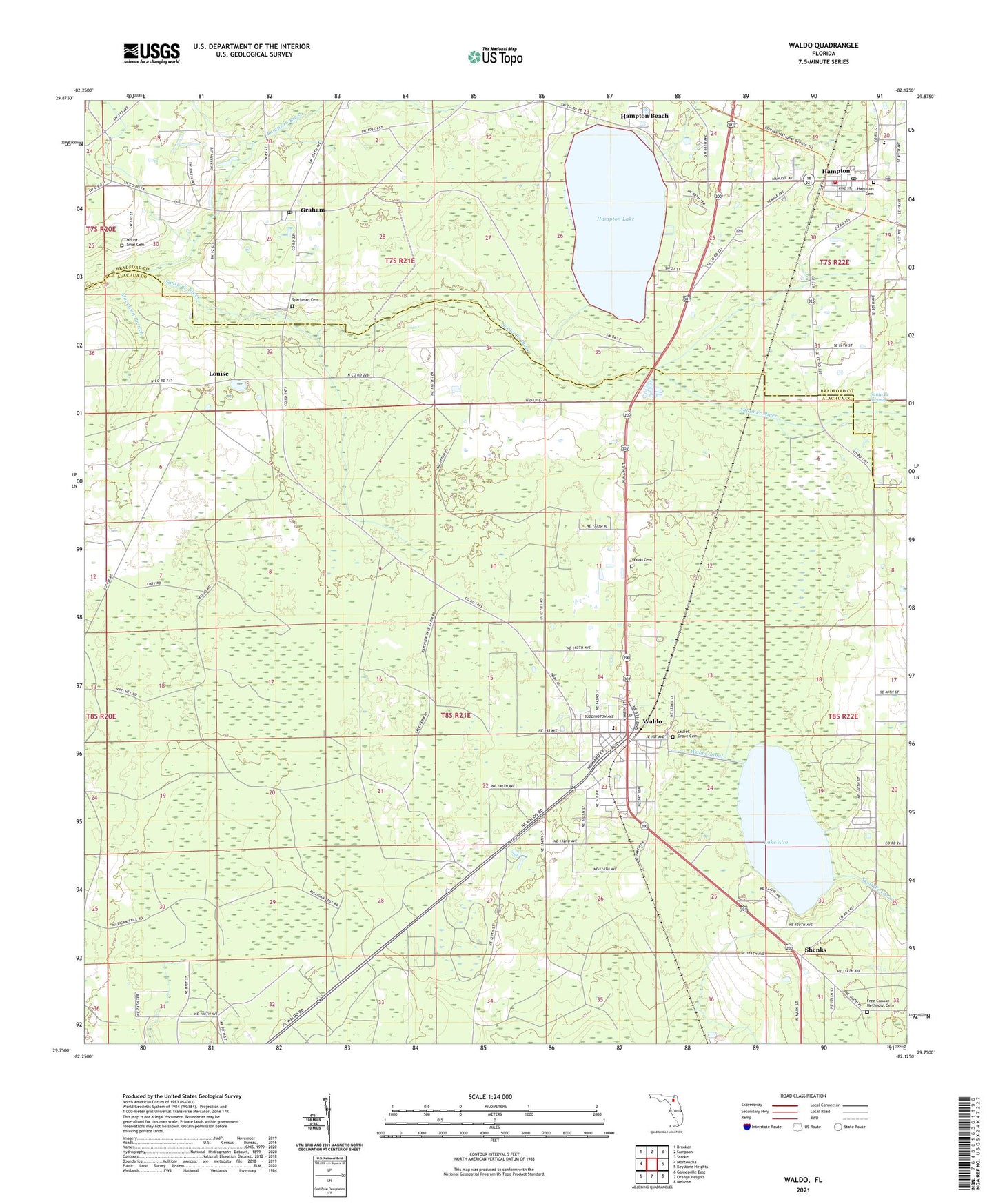
2024 topographic map quadrangle Waldo in the state of Florida. Scale: 1:24000. Based on the newly updated USGS 7.5' US Topo map series, this map is in the following counties: Alachua, Bradford. The map contains contour data, water features, and other items you are used to seeing on USGS maps, but also has updated roads and other features. This is the next generation of topographic maps. Printed on high-quality waterproof paper with UV fade-resistant inks.
Quads adjacent to this one:
West: Monteocha
Northwest: Brooker
North: Sampson
Northeast: Starke
East: Keystone Heights
Southeast: Melrose
South: Orange Heights
Southwest: Gainesville East
This map covers the same area as the classic USGS quad with code o29082g2.
Contains the following named places: Austin Cary Monument, City of Hampton, City of Waldo, Division of Forestry Santa Fe Tower, First Baptist Church of Waldo, Free Canaan Methodist Cemetery, Free Canaan United Methodist Church, Graham, Graham Baptist Church, Graham Post Office, Hampton, Hampton Baptist Church, Hampton Beach, Hampton Cemetery, Hampton Christian Church, Hampton Elementary School, Hampton Lake, Hampton Park, Hampton Police Department, Hampton Post Office, Hampton Volunteer Fire Department Station 7, Lake Alto, Lake Alto Estates, Lake Alto Park, Laurel Grove Cemetery, Lighthouse Global Ministries, Louise, Moccasin Branch, Mount Sinai Cemetery, Philadelphia Baptist Church, Praise Christian Assembly, Saint Pauls Episcopal Church, Sampson River, Shenks, Souls Outreach Mission, Sparkman Cemetery, Veterans Memorial Park, Victory Baptist Church, Waldo, Waldo Amtrak Station, Waldo Branch Library, Waldo Canal, Waldo Canal Park, Waldo Cemetery, Waldo Community Center, Waldo Community School, Waldo Division, Waldo First United Methodist Church, Waldo Police Department, Waldo Police Department Meeting Hall, Waldo Post Office, Waldo Water Tower, WYFB-FM (Gainesville), ZIP Codes: 32044, 32694


