MyTopo
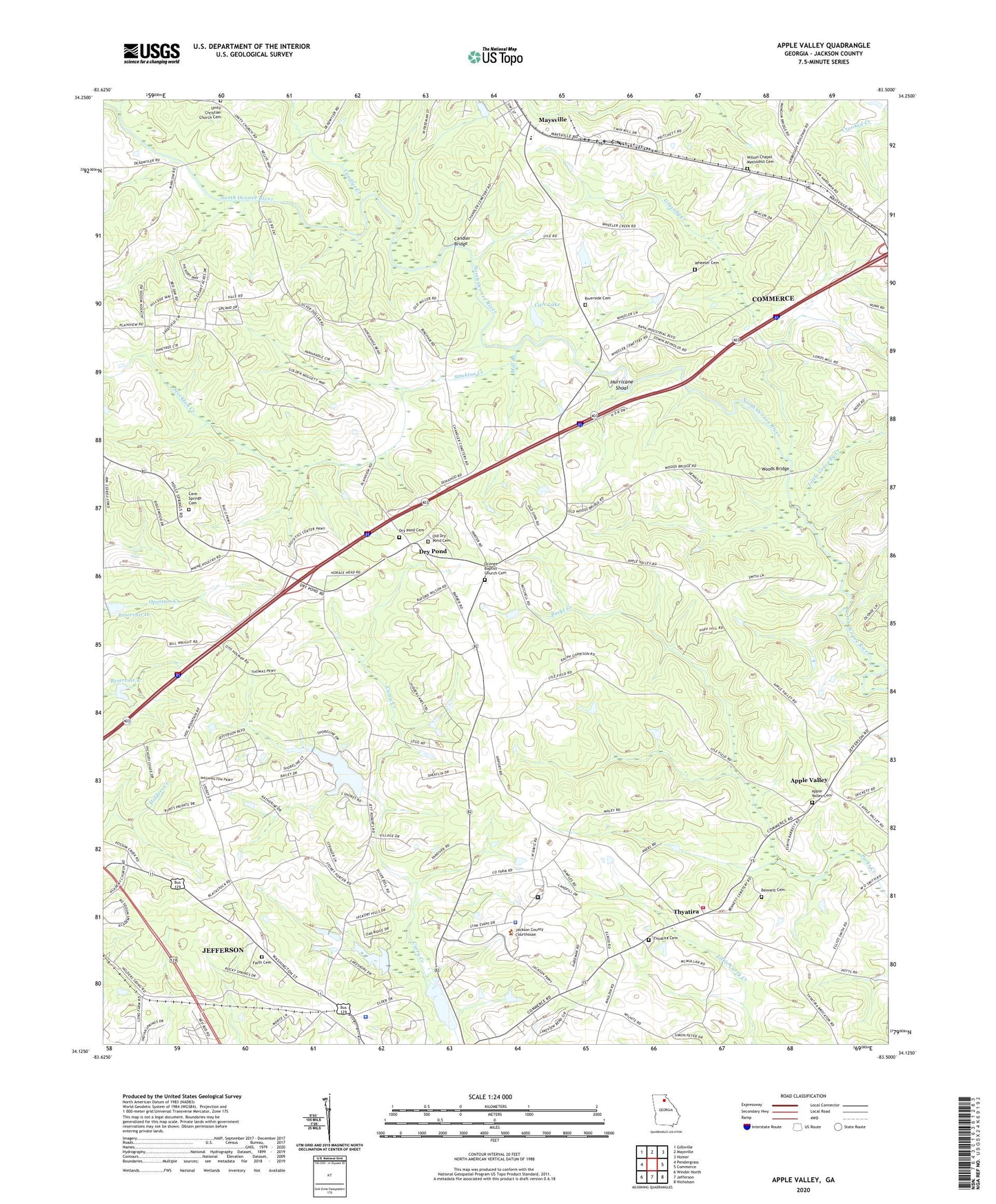
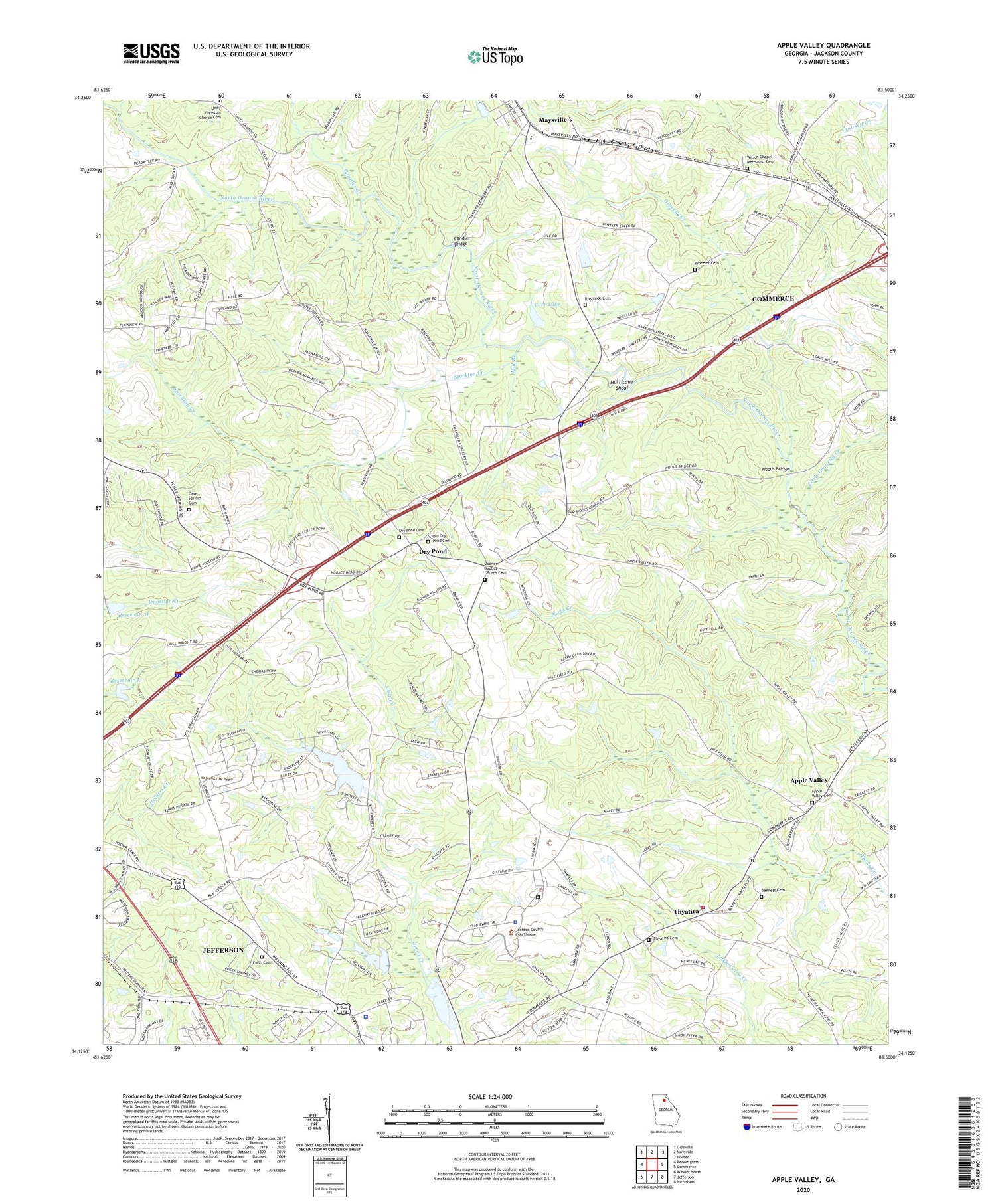
Apple Valley Georgia US Topo Map
Couldn't load pickup availability
2024 topographic map quadrangle Apple Valley in the state of Georgia. Scale: 1:24000. Based on the newly updated USGS 7.5' US Topo map series, this map is in the following counties: Jackson. The map contains contour data, water features, and other items you are used to seeing on USGS maps, but also has updated roads and other features. This is the next generation of topographic maps. Printed on high-quality waterproof paper with UV fade-resistant inks.
Quads adjacent to this one:
West: Pendergrass
Northwest: Gillsville
North: Maysville
Northeast: Homer
East: Commerce
Southeast: Nicholson
South: Jefferson
Southwest: Winder North
This map covers the same area as the classic USGS quad with code o34083b5.
Contains the following named places: Academy School, Apple Valley, Apple Valley Baptist Church, Apple Valley Cemetery, Atkins Family Cemetery, Bennett Cemetery, Candler Bridge, Candler Creek, Carr Lake, Carr Lake Dam, Cave Springs Cemetery, Cave Springs Church, City of Jefferson, Dry Pond, Dry Pond Cemetery, Dry Pond Methodist Church, Faith Cemetery, Faith Church, Gravelly Creek, Harrisburg Fire Department, Holder Plantation, Hurricane Grove Church, Hurricane Shoal, Hurricane Shoals, Hurricane Shoals County Park, Jackson County, Jackson County Airport, Jackson County Correctional Institution, Jackson County Farm, Jackson County Jail, Jackson County Senior Citizen Center, Jackson County Sheriff's Office, Jefferson City Lake, Jefferson City Lake Dam, Jefferson Police Department, Little Gravelly Creek, Maysville Division, Maysville Elementary School, Middle Oconee Walnut Creek 16 Dam, Middle Oconee-Walnut Creek Number 17 Dam, Mill Branch, Oconee Baptist Church Cemetery, Oconee Church, Old Dry Pond Cemetery, Reservoir 16, Reservoir 17, Riverside Cemetery, Riverside Church, Sardus Church, Stockton Creek, Thyatira, Thyatira Cemetery, Thyatira Church, Thyatira Presbyterian Church, Toney Hill Church, Unity Christian Church Cemetery, Wheeler Cemetery, Wheeler School, Wilson Chapel Methodist Cemetery, Wilson Church, Woods Bridge


