MyTopo
Gillsville Georgia US Topo Map
Couldn't load pickup availability
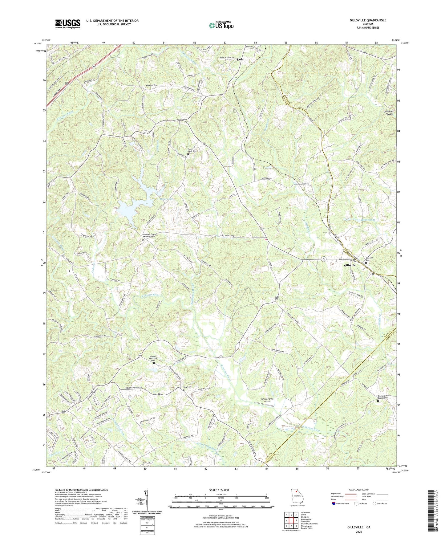
2024 topographic map quadrangle Gillsville in the state of Georgia. Scale: 1:24000. Based on the newly updated USGS 7.5' US Topo map series, this map is in the following counties: Hall, Banks, Jackson. The map contains contour data, water features, and other items you are used to seeing on USGS maps, but also has updated roads and other features. This is the next generation of topographic maps. Printed on high-quality waterproof paper with UV fade-resistant inks.
Quads adjacent to this one:
West: Gainesville
Northwest: Clermont
North: Lula
Northeast: Baldwin
East: Maysville
Southeast: Apple Valley
South: Pendergrass
Southwest: Chestnut Mountain
This map covers the same area as the classic USGS quad with code o34083c6.
Contains the following named places: Antioch Church, B Tree Farms Airport, Buffington Mill Creek, Cedar Creek, City of Gillsville, Diamond Hill Baptist Cemetery, Diamond Hill Church, Diamond Hill School, Dunagan, Dunagan Chapel, Dunagans Chapel Methodist Cemetery, East Hall Baptist Church, East Hall High School, East Hall Middle School, Garrison Shoals, Gilbert Dam, Gillsville, Gillsville Baptist Church, Gillsville Cemetery, Gillsville Historic District, Gillsville Post Office, Gilmer Academy, Grove Creek Church, Grove Creek School, Grove River Structure Number 15 Dam, Hall County Fire Station 10, Hampton Mill, Heads Mill, Jarrett, King Cemetery, Latty Station, Lebanon Church, Lebanon Methodist Cemetery, Liberty Baptist Church, Lula Division, Midway Church, Miller Lake, Miller Lake Dam, Oconee Mills, Pine Grove Cemetery, Pine Grove Church, Pleasant Hill Church, Reservoir 15, Tadmore Church, Tadmore Elementary School, Timber Ridge Cemetery, Timber Ridge Church, Welcome Home Church, White Hall Church, White Hall School, Whitehall Cemetery, ZIP Code: 30543


