MyTopo
Birdsville Georgia US Topo Map
Couldn't load pickup availability
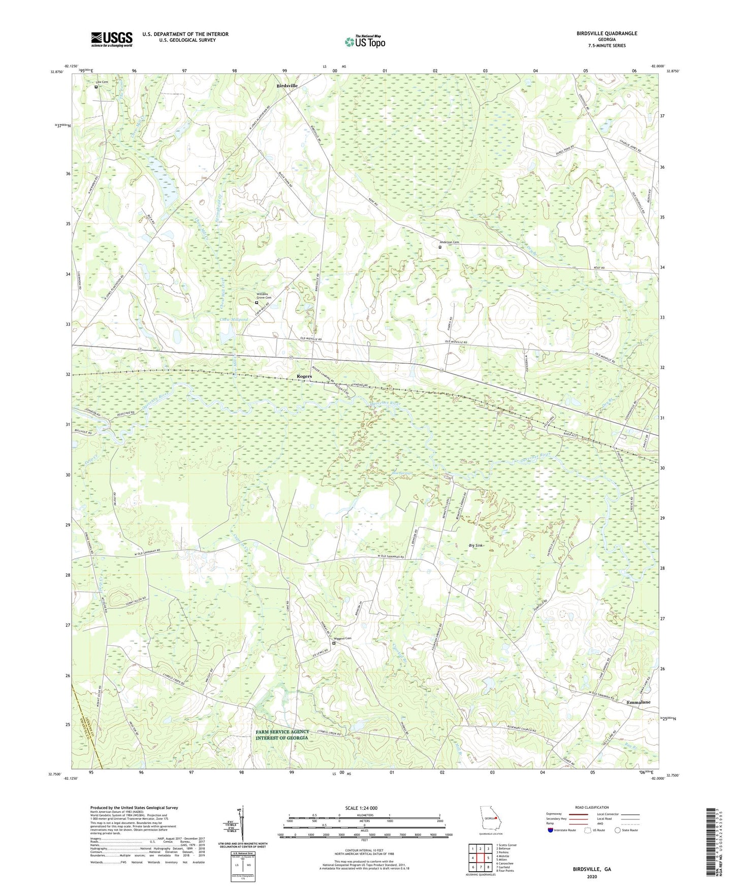
2024 topographic map quadrangle Birdsville in the state of Georgia. Scale: 1:24000. Based on the newly updated USGS 7.5' US Topo map series, this map is in the following counties: Jenkins, Emanuel. The map contains contour data, water features, and other items you are used to seeing on USGS maps, but also has updated roads and other features. This is the next generation of topographic maps. Printed on high-quality waterproof paper with UV fade-resistant inks.
Quads adjacent to this one:
West: Midville
Northwest: Scotts Corner
North: Bellevue
Northeast: Perkins
East: Millen
Southeast: Four Points
South: Garfield
Southwest: Canoochee
This map covers the same area as the classic USGS quad with code o32082g1.
Contains the following named places: Anderson Cemetery, Anderson Chapel, Bennetts Landing, Big Dukes Pond, Big Sink, Birdsville, Birdsville Airport, Blue Springs, Brinson Lake, Brinson Lake Dam, Buckhead Academy, Bull Hole Landing, Chew Mill Creek, Chew Millpond, Chew Millpond Dam, Crooked Branch, Cushingville, Cypress Creek, Deep Creek, Deep Creek Church, Drakes Chapel, Dry Branch, Fountain Springs Church, Jones Temple, Kents Landing, Lane Landing, Law Cemetery, Little Dukes Pond, Ogeechee Church, Pew Landing, Rogers, Rogers Crossing, Rosemary Church, Springhead Creek, The Canal, Wiggens Cemetery, Williams Grove Cemetery, Williams Grove Church