MyTopo
Cartersville Georgia US Topo Map
Couldn't load pickup availability
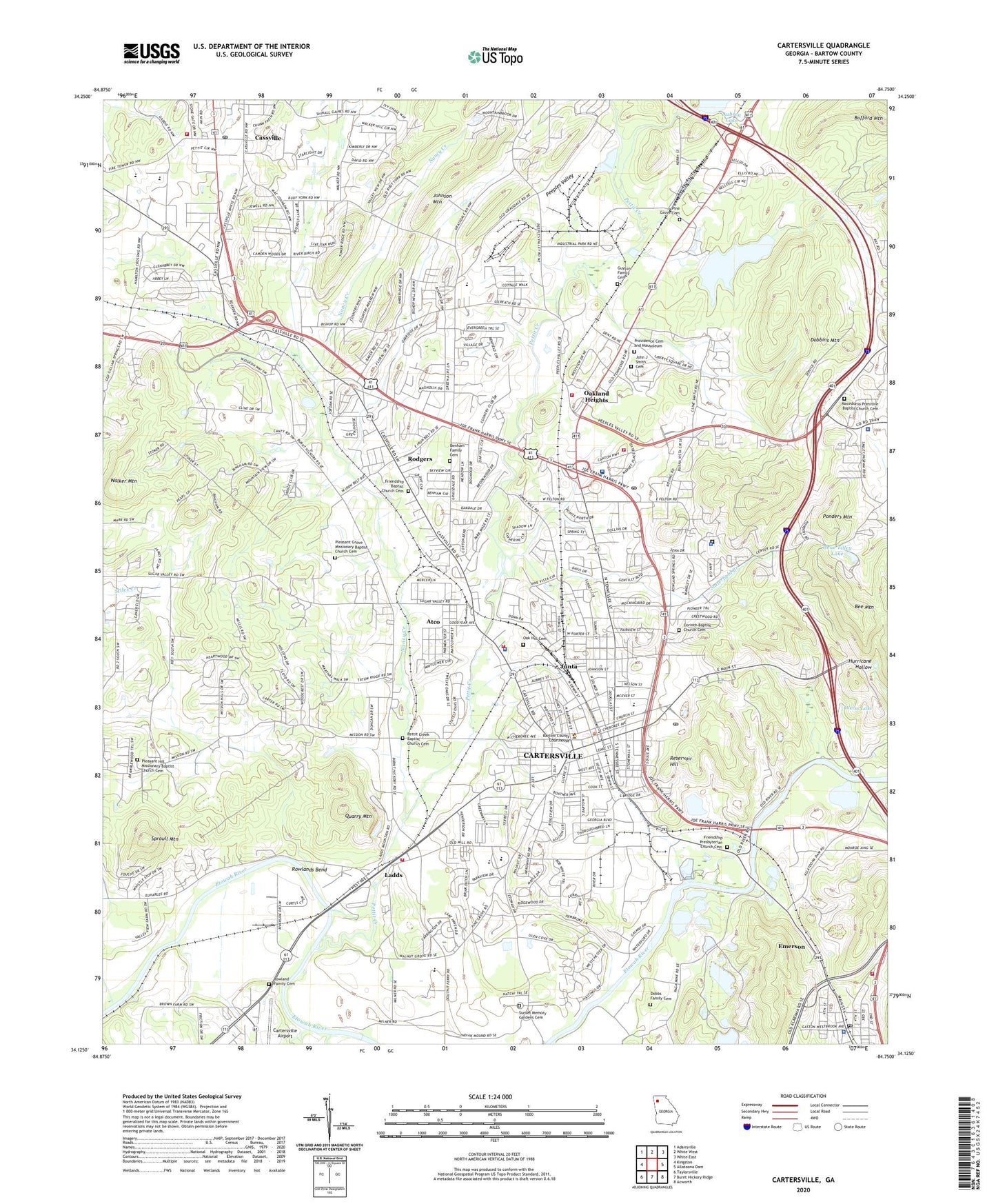
2024 topographic map quadrangle Cartersville in the state of Georgia. Scale: 1:24000. Based on the newly updated USGS 7.5' US Topo map series, this map is in the following counties: Bartow. The map contains contour data, water features, and other items you are used to seeing on USGS maps, but also has updated roads and other features. This is the next generation of topographic maps. Printed on high-quality waterproof paper with UV fade-resistant inks.
Quads adjacent to this one:
West: Kingston
Northwest: Adairsville
North: White West
Northeast: White East
East: Allatoona Dam
Southeast: Acworth
South: Burnt Hickory Ridge
Southwest: Taylorsville
This map covers the same area as the classic USGS quad with code o34084b7.
Contains the following named places: Alexander Chapel, Ascension Protestant Episcopal Church, Atco, Atco Baptist Church, Atco Post Office, Atco Public School, Aubrey Lake Dam, Bartow Academy, Bartow County, Bartow County Courthouse, Bartow County Fire Department, Bartow County Fire Department Station 6, Bartow County Jail, Bartow County Sheriff's Office, Bee Mountain, Belaire, Benham Family Cemetery, Browns, Buena Vista, Bufford Mountain, Burnt Hickory Hills, Cartersville, Cartersville Church, Cartersville City Hall, Cartersville Country Club, Cartersville Crossing Shopping Center, Cartersville Division, Cartersville Elementary School, Cartersville Fire Department Station 1, Cartersville Fire Department Station 2, Cartersville Fire Department Station 3, Cartersville Grade School, Cartersville High School, Cartersville Industrial Park North, Cartersville Main Street Library, Cartersville Medical Center, Cartersville Middle School, Cartersville Plaza Shopping Center, Cartersville Police Department, Cartersville Post Office, Cartersville Primary School, Cartersville Village Shopping Center, Cass High School, Cass Middle School, Cass Station, Cassville, Cassville African Methodist Episcopal Church, Cassville Baptist Church, Cassville Fire Department, Cassville Post Office, Cassville United Methodist Church, Church of God, City of Cartersville, Cloverleaf Church, Cloverleaf Elementary School, Collins Pointe Shopping Center, Conyers Estates, Corinth Baptist Church Cemetery, Country Village, County Manor, Deerfield Estates, Dellinger Park, Dobbins Mountain, Dobbs Family Cemetery, Douglas Street Church, Douglas Street Grade School, Emerson, Emerson Police Department, Emerson Post Office, Excel Christian Academy, Faith Church, First Baptist Church of Cartersville, First Presbyterian Church, Friendship Baptist Church Cemetery, Friendship Church, Friendship Presbyterian Church Cemetery, Gene Tilley Lake, Gene Tilley Lake Dam, Georgia State Police Patrol Troop A Post 3, Gilmer Street Church, Green Valley Golf Course, Greenbriar, Guyton Family Cemetery, Habersham, Hamilton Crossing Elementary School, Harvest Estates, Heritage Church, Hidden Hills, Howell Memorial Hospital, Howell Quillian Clinic, Humana Hospital, Interchange Village, John J Smith Family Cemetery, Johnson Mountain, Jones Heights, Jones Memorial Church, Junta, Ladds, Lakeside Church, Macedonia Church, Macedonia Primitive Baptist Church Cemetery, Main Street East Shopping Center, Market Square Shopping Center, Mission Estates, Mission Hills, Mount Zion Baptist Church, Mountain View Plaza Shopping Center, Nancy Creek, New Canaan Church, New Hope Church, Noble Hill Rosenwald School, North Corners Post Office, North Corners Shopping Center, North Highland, Northside Church, Oak Grove Church, Oak Hill Cemetery, Oakland Heights, Peeples Valley, Peeples Valley Church, Pettit Creek, Pettit Creek Baptist Church Cemetery, Pine Grove Cemetery, Pine Grove Church, Pleasant Grove Church, Pleasant Grove Missionary Baptist Church Cemetery, Pleasant Hill Church, Pleasant Hill Missionary Baptist Church Cemetery, Ponders Mountain, Providence Cemetery and Mausoleum, Quarry Mountain, Reservoir Hill, Rodgers, Roving Hills Estates, Rowland Family Cemetery, Rowlands Bend, Ryle Creek, Saint Francis Church, Saint Luke Church, Satterfield Branch, Shallwood, Sproull Mountain, Sunset Memory Gardens Cemetery, Tabernacle Baptist Church, Terrell Heights, Trinity Church, Victory Temple, Walker Hills, Walker Mountain, Wayfare Estates, WBHF-AM (Cartersville), WCCV-FM (Cartersville), Wildwood, William Weinman Mineral Center Museum, WYXC-AM (Cartersville), ZIP Codes: 30120, 30121, 30137


