MyTopo
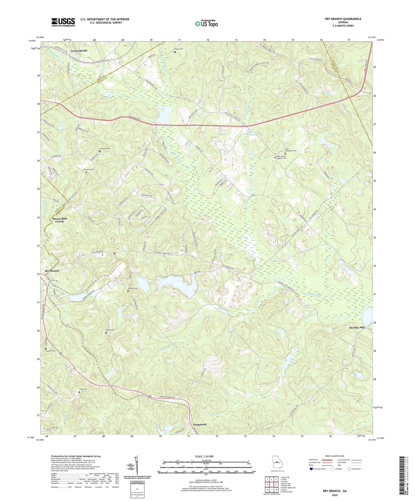
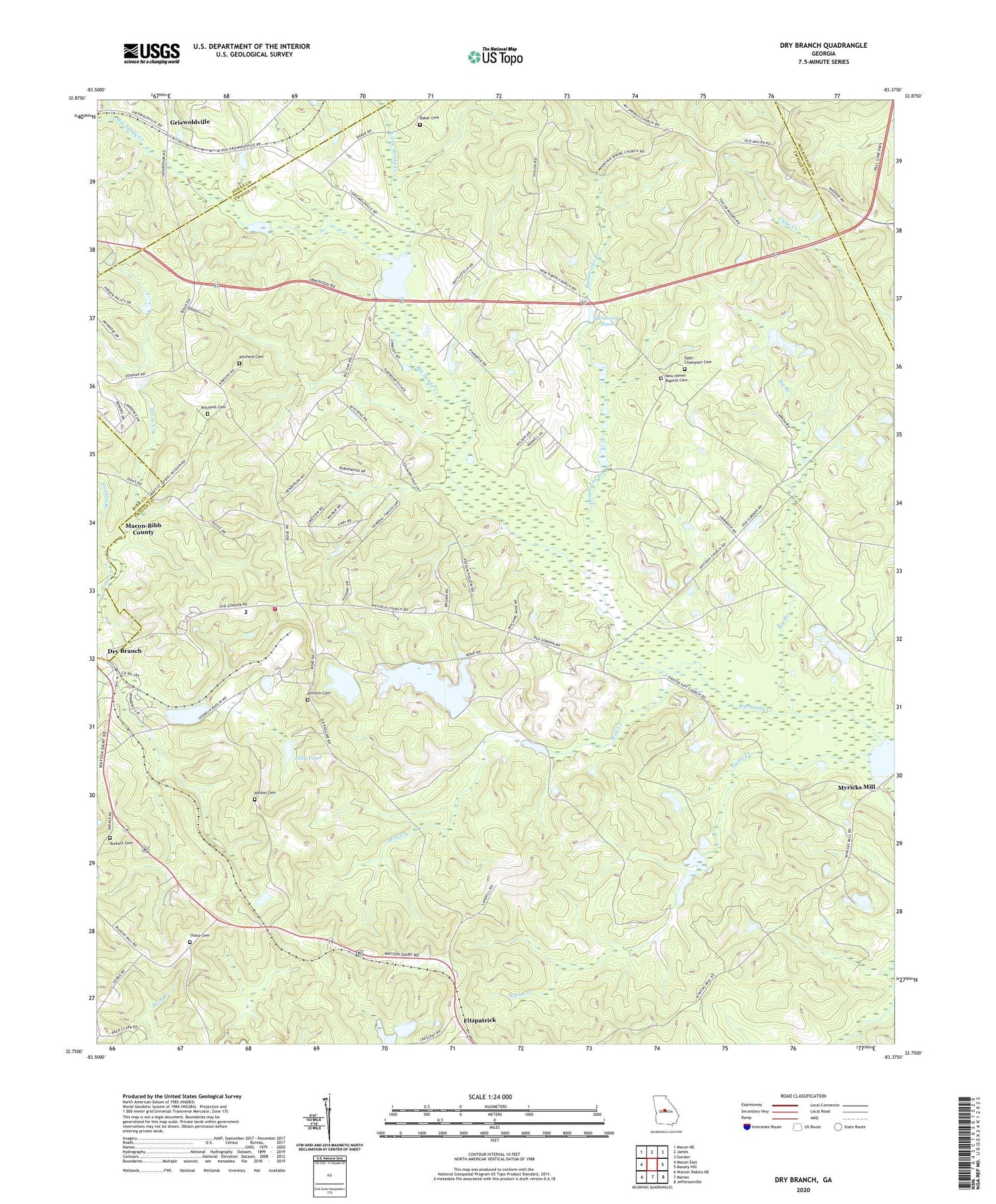
Dry Branch Georgia US Topo Map
Couldn't load pickup availability
2024 topographic map quadrangle Dry Branch in the state of Georgia. Scale: 1:24000. Based on the newly updated USGS 7.5' US Topo map series, this map is in the following counties: Twiggs, Jones, Wilkinson, Bibb. The map contains contour data, water features, and other items you are used to seeing on USGS maps, but also has updated roads and other features. This is the next generation of topographic maps. Printed on high-quality waterproof paper with UV fade-resistant inks.
Quads adjacent to this one:
West: Macon East
Northwest: Macon NE
North: James
Northeast: Gordon
East: Massey Hill
Southeast: Jeffersonville
South: Marion
Southwest: Warner Robins NE
This map covers the same area as the classic USGS quad with code o32083g4.
Contains the following named places: Antioch Baptist Church, Antioch Cemetery, Antioch Church, Antioch School, Baker Cemetery, Big Branch, Birdsong Pond, Birdsong Pond Dam, Burkett Cemetery, Donnan Branch, Dry Branch, Dry Branch Church, Dry Branch Volunteer Fire Department, Epps - Champion Cemetery, First Congregational Holiness Church, Game Creek, Gospel Mission, Griffin Give Church, Griffin School, Griswoldville, Griswoldville Junior High School, Hammocks Branch, Harrisons Lake, Harrisons Lake Dam, Jolly Pond, Jolly Pond Dam, Kitchens Cemetery, Little Sandy Creek, Mount Gilgal Cemetery, Mount Gilgal Church, Myricks Mill, Myricks Mill Pond Dam, Myricks Millpond, Nelson Cemetery, New Haven Baptist Cemetery, New Haven Church, Stone Creek Academy, Stone Creek Church, Tharp Cemetery, Twiggs County North Complex School Number 1, Twiggs County North Complex School Number 2, WBNM-AM (Gordon), Wolf Creek


