MyTopo
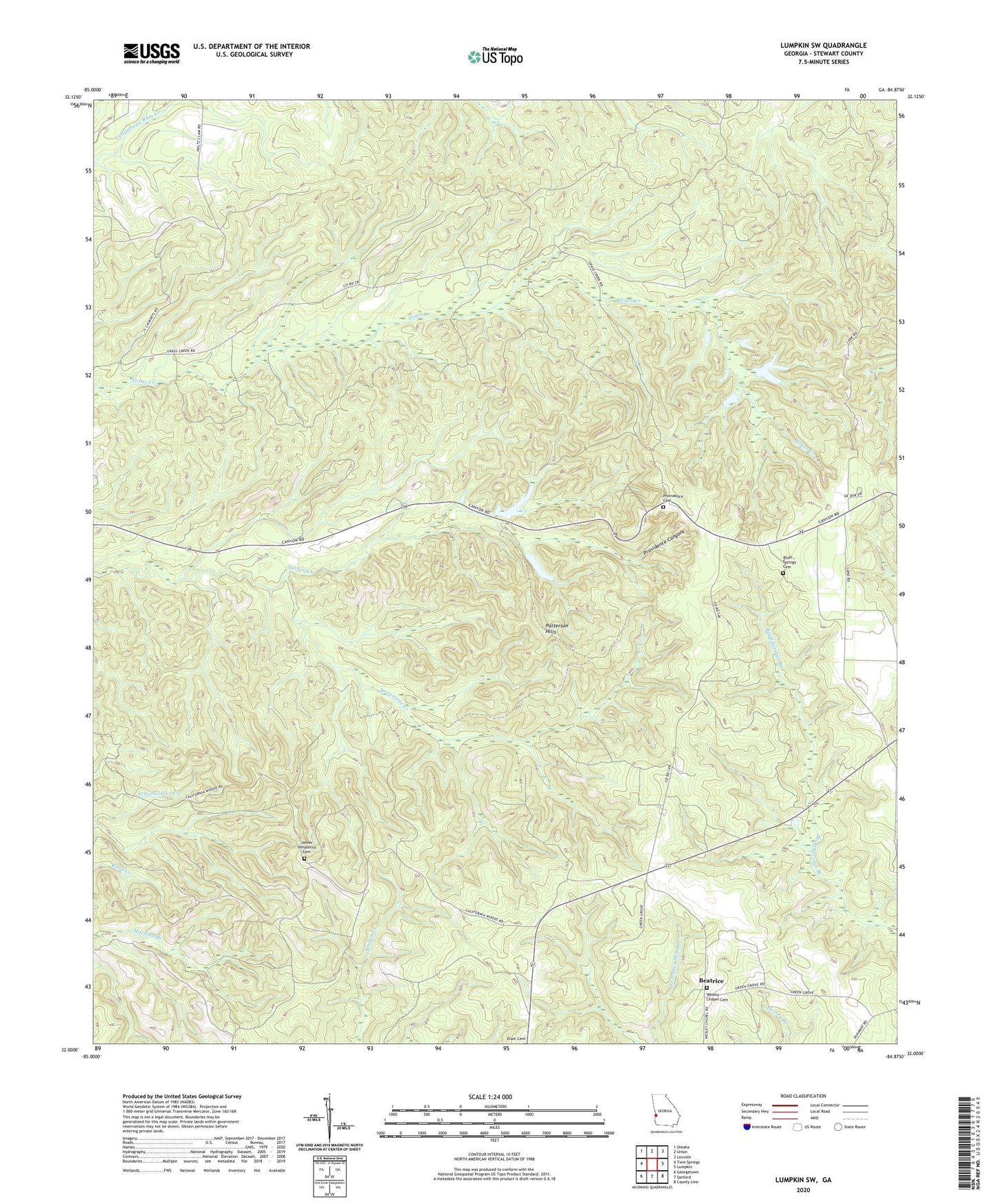
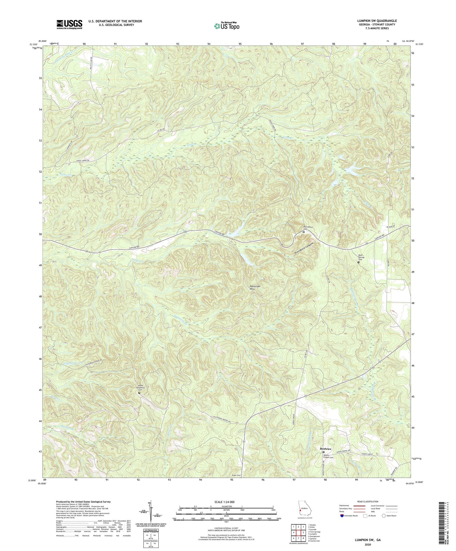
Lumpkin SW Georgia US Topo Map
Couldn't load pickup availability
2024 topographic map quadrangle Lumpkin SW in the state of Georgia. Scale: 1:24000. Based on the newly updated USGS 7.5' US Topo map series, this map is in the following counties: Stewart. The map contains contour data, water features, and other items you are used to seeing on USGS maps, but also has updated roads and other features. This is the next generation of topographic maps. Printed on high-quality waterproof paper with UV fade-resistant inks.
Quads adjacent to this one:
West: Twin Springs
Northwest: Omaha
North: Union
Northeast: Louvale
East: Lumpkin
Southeast: County Line
South: Sanford
Southwest: Georgetown
This map covers the same area as the classic USGS quad with code o32084a8.
Contains the following named places: Beatrice, Bluff Springs Cemetery, Bluff Springs Church, Bluff Springs School, Bryan School, California Woods, Elim Church, James Templeton Cemetery, Mount Moriah Church, Mount Moriah School, North Glory Hole, Oak Grove School, Patterson Hills, Providence Canyon State Park, Providence Canyons, Providence Cemetery, Providence Church, Providence School, Soapstone Creek, South Glory Hole, Spring Hill Church, Stephen Chapel, Taylor Lake, Taylor Lake Dam, Wesley Chapel, Wesley Chapel Cemetery, ZIP Code: 31821