MyTopo
Warner Robins NW Georgia US Topo Map
Couldn't load pickup availability
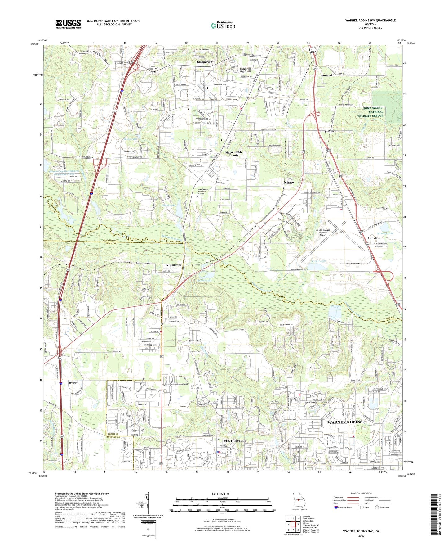
2024 topographic map quadrangle Warner Robins NW in the state of Georgia. Scale: 1:24000. Based on the newly updated USGS 7.5' US Topo map series, this map is in the following counties: Bibb, Houston, Peach, Crawford. The map contains contour data, water features, and other items you are used to seeing on USGS maps, but also has updated roads and other features. This is the next generation of topographic maps. Printed on high-quality waterproof paper with UV fade-resistant inks.
Quads adjacent to this one:
West: Byron
Northwest: Lizella
North: Macon West
Northeast: Macon East
East: Warner Robins NE
Southeast: Warner Robins SE
South: Warner Robins SW
Southwest: Fort Valley East
This map covers the same area as the classic USGS quad with code o32083f6.
Contains the following named places: Airport Lake, Airport Lake Dam, Antebellum North, Antebellum Plateau, Ashlund Ridge, Attaway Lake, Attaway Lake Dam, Aultman Pines, Avondale, Avondale Church, Bessie Chapel School, Betty Mobile Home Park, Bevinwood, Bill Peavy Memorial Park, Bridgewood Golf Course, Camp Care, Centerville, Centerville City Hall, Centerville Elementary School, Centerville Fire Department, Centerville First United Methodist Church, Centerville Post Office, Central Fellowship Academy, City of Centerville, Cochran Field, Cochran Field Academy, Collins Church, Community Church, Coppas Branch, Crestwood Estates, Danes Meadow, Dunbar School, Echeconnee, Echo Glen, Evergreen Church, Fairview Estates, Fairystone, First Assembly of God Church, Fox Meadow Estates, Gibson Lake, Gibson Lake Dam, Gibson-Cary Development Corporation Dam, Glen Haven Memorial Garden, Goodall Estates, Green Acres Baptist Church, Heard School, Honey Ridge Plantation, Houston County Fire Department Station 1, Houston County Fire Department Station 6, Hunters Ridge, International City Speedway, Juniper Creek, Kewanee Farms, Lake Sardis Estates, Liberty View, Macedonia School, Macon - Bibb County Fire Department Station 102, Macon - Bibb County Fire Department Station 107, Middle Georgia Raceway, Middle Georgia Regional Airport, Molena Mobile Home Park, Morgan Memorial State Nursery, Mount Olive Church, Mount Pleasant Church, Mount Zion Church, New Elim Church, New Hope Church, North Peach Industrial Park, Northside Elementary School, Northside High School, Northside Junior High School, Oak Grove Church, O'Reily Estates, Peach County Fire Department Station 4, Peach Festival Outlet Center, Pike Acres, Placid Acres Mobile Home Park, Planters School, Porter School, Robins Plaza Shopping Center, Rutland, Rutland Division, Sardis Church, Sardis Estates, Sedgefield, Skipperton, Sofkee, Stokes Lake, Stokes Lake Dam, Tabor Junior High School, Three Oaks, Vinsons Lake, Walden, Warner Robins Alliance Church, Warner Robins Fire Department Station 4, Wellington Woods, Windsor Academy, WPPR-FM (Warner Robins), WZQB-AM (Warner Robins), ZIP Codes: 31028, 31093, 31216


