MyTopo
Warner Robins SW Georgia US Topo Map
Couldn't load pickup availability
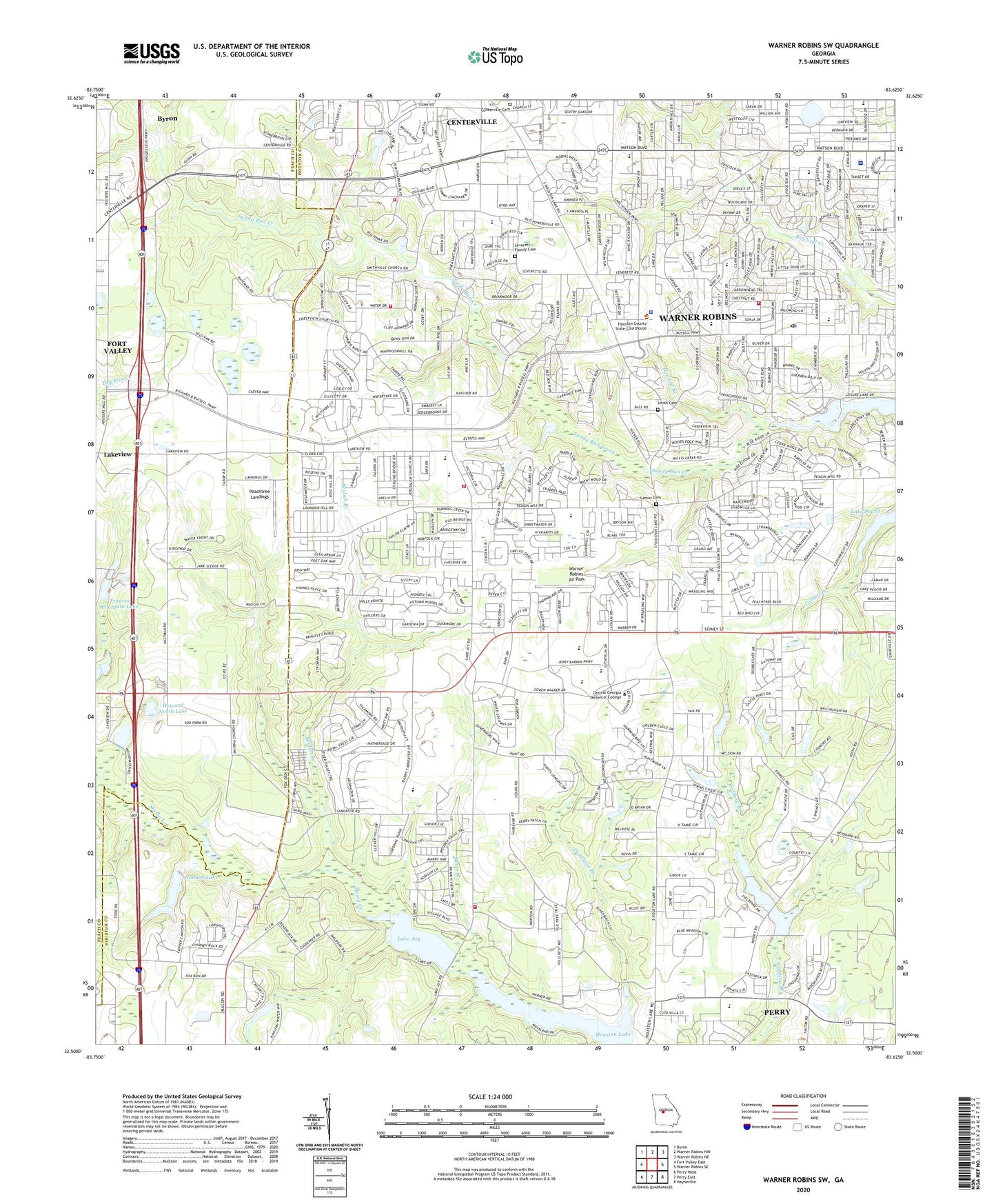
2024 topographic map quadrangle Warner Robins SW in the state of Georgia. Scale: 1:24000. Based on the newly updated USGS 7.5' US Topo map series, this map is in the following counties: Houston, Peach. The map contains contour data, water features, and other items you are used to seeing on USGS maps, but also has updated roads and other features. This is the next generation of topographic maps. Printed on high-quality waterproof paper with UV fade-resistant inks.
Quads adjacent to this one:
West: Fort Valley East
Northwest: Byron
North: Warner Robins NW
Northeast: Warner Robins NE
East: Warner Robins SE
Southeast: Hayneville
South: Perry East
Southwest: Perry West
This map covers the same area as the classic USGS quad with code o32083e6.
Contains the following named places: All Saints Church, Andrew Chapel, Barrington, Bass, Beaver Creek, Beaver Creek Primitive Baptist Church, Beulah Branch, Beulah Church, Briarcliff Park, Cardinal Ridge, Centerville Cemetery, Centerville Police Department, Central Baptist Church, Christ United Methodist Church, Church of Christ, City of Warner Robins, Devereaux Estates, Donelson Branch, Doublegate, Dove Cove, Dry Lake Park, Elmdale Estates, Fellowship Primitive Baptist Church, Frances Fountain Dam, Frances Fountain Lake, Griffin Lake, Griffin Lake Dam, Hattie Church, Heard, Hickorynut Branch, Hidden Oaks, Highland Estates, Hodges Pond, Hodges Pond Dam, Houston County Fire Department Station 5, Houston County Fire Department Station 7, Houston County Sheriff's Dept, Houston Lake, Houston Lake Woods, Houston Mall Shopping Center, Houston Medical Center, Houston Vocational Center, Howard Branch, Howard North Dam, Howard North Lake, Idlewood Acres, Jerusalem Church, Jerusalem School, Jesse Tanner Memorial Park, Johnson Dam, Lake Joy, Lake Joy Dam, Lake Placid, Lakeview, Lamar Cemetery, Leverett Family Cemetery, Middle Georgia Airport, Miller Elementary School, Moody Road Park, Mount Zion Church, Mount Zion School, Oak Level Church, Oak Ridge Church, Oak Ridge School, Oakland Baptist Church, Parkwood School, Peachtree Estates, Peachtree Landings, Pilgrim Rest, Pine Forest, Quail Meadow, Quail Run, Quail Run North, Robins Forest West, Russel School, Russell Glen, Sandy Valley Baptist Church, Sauls Branch, Settlers Landing, Shady Grove, Shirley Hills Baptist Church, Shirley Hills Estates, Shirley Hills School, Sleepy Hollow, Smith Cemetery, Smith Lake, Smith Lake Dam, Smithville Church, Smithville School, Smyrna Church, Smyrna School, Sonja Heights, South Oaks, South Pointe, South Springs, Tharpe, Tharpe Memorial Church, The Church of Jesus Christ of Latter Day Saints, The Heather on Houston Lake, Trinity United Methodist Church, Turtle Creek, Unity Baptist Church, Warner Robins Air Park, Warner Robins Division, Warner Robins Fire Department Station 3, Warner Robins Fire Department Station 6, Warner Robins Fire Department Station 7, Warner Robins Junior High School, Warner Robins Post Office, Watson Central Shopping Center, WCOP-AM (Warner Robins), Westminster Presbyterian Church, Wilkinson Lake, Wilkinson Lake Dam, Williams Plaza Shopping Center, Woodard Estates, Wooden Lake, Wooden Lake Dam, WPGA-FM (Perry), Wrights Mill, ZIP Code: 31088


