MyTopo
Manuka Bay Hawaii US Topo Map
Couldn't load pickup availability
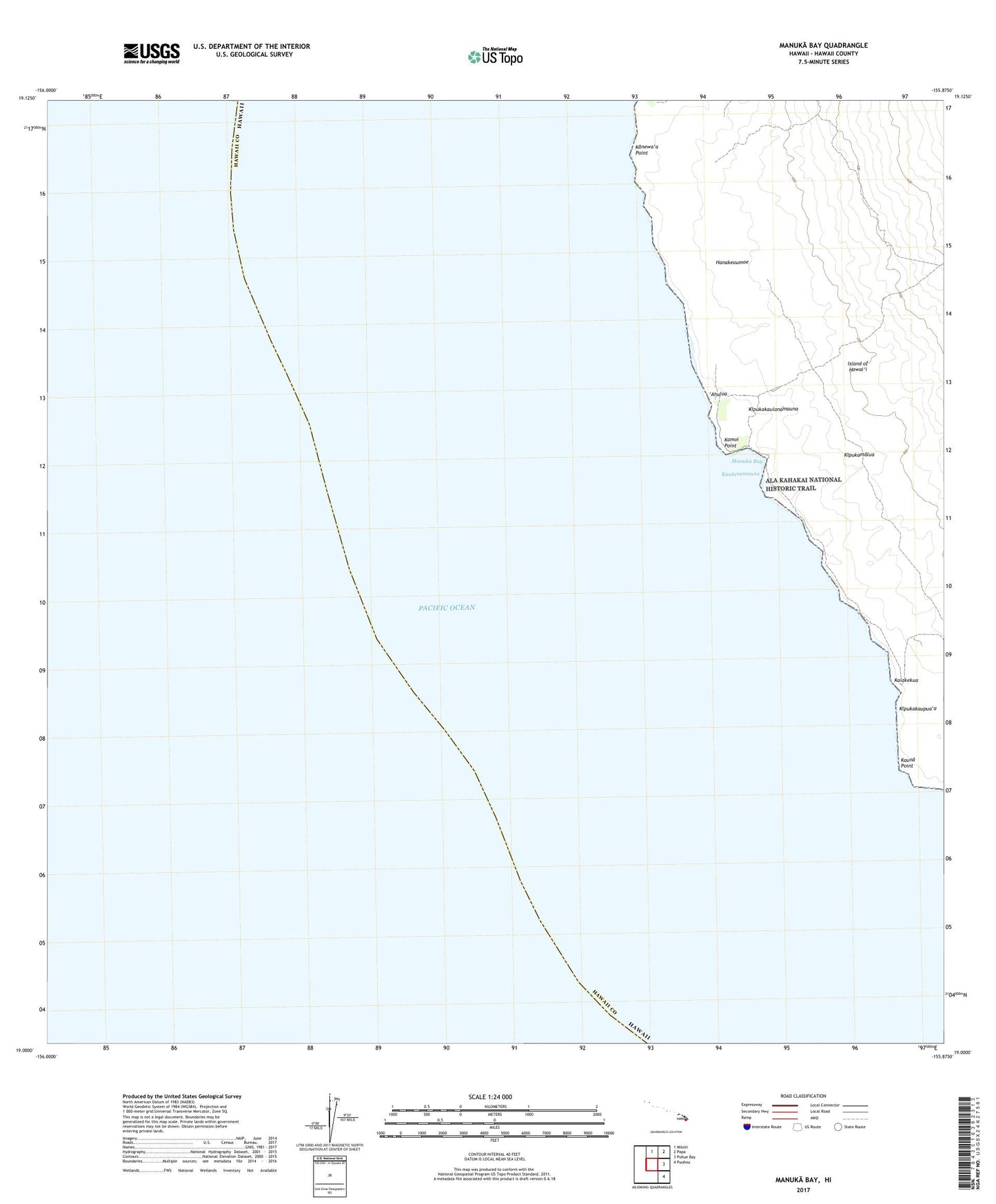
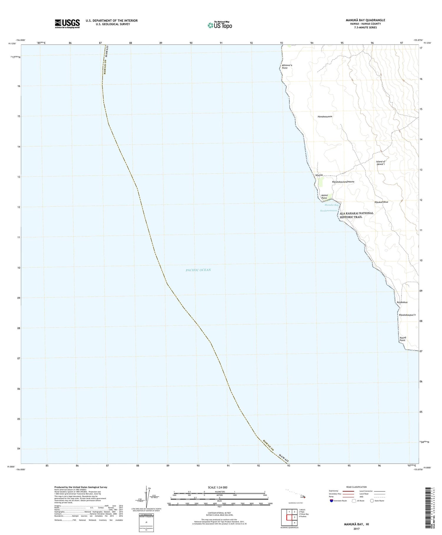
2024 topographic map quadrangle Manuka Bay in the state of Hawaii. Scale: 1:24000. Based on the newly updated USGS 7.5' US Topo map series, this map is in the following counties: Hawaii. The map contains contour data, water features, and other items you are used to seeing on USGS maps, but also has updated roads and other features. This is the next generation of topographic maps. Printed on high-quality waterproof paper with UV fade-resistant inks.
Quads adjacent to this one:
North: Milolii
Northeast: Papa
East: Pohue Bay
This map covers the same area as the classic USGS quad with code o19155a8.
Contains the following named places: Ahuloa, Hanakeaumoe, Kaiakekua, Kamoi, Kanewa'a Point, Kaulanamauna, Kauna Point, Kipukakaulanamauna, Kipukamalua, Manuka, Manuka Bay, Niu'o'u, Niu'o'u Coconut Grove