
MyTopo
Milolii Hawaii US Topo Map
Couldn't load pickup availability
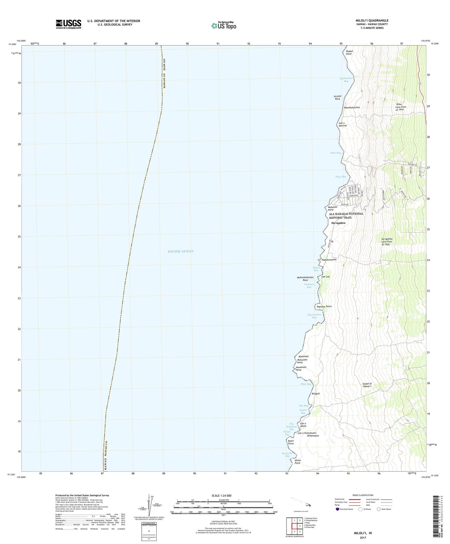
2024 topographic map quadrangle Milolii in the state of Hawaii. Scale: 1:24000. Based on the newly updated USGS 7.5' US Topo map series, this map is in the following counties: Hawaii. The map contains contour data, water features, and other items you are used to seeing on USGS maps, but also has updated roads and other features. This is the next generation of topographic maps. Printed on high-quality waterproof paper with UV fade-resistant inks.
Quads adjacent to this one:
North: Kauluoa Point
Northeast: Puupohakuloa
East: Papa
Southeast: Pohue Bay
South: Manuka Bay
This map covers the same area as the classic USGS quad with code o19155b8.
Contains the following named places: Ahole Heiau, Aholeholua, 'Alika, 'Alika Bay, Anapuka, Arched Rock, Hanamalo Point, Hau'oli Kamana'o Church, Holua Slide, Honomalino Bay, Ho'opuloa, Kakio Point, Kalapili, Kalihi, Kamaohe Bay, Kapu'a, Kapu'a Bay, Kapukawaaiki, Kapulau Point, Kaupo Bay, Kipahoehoe Bay, Lae o Humuhumu, Lae o Kamimi, Laeloa, Laeoahole, Makahiki Point, Miloli'i, Milolii Bay, Miloli'i Beach Park, Milolii Volunteer Fire Station 06A, Mokunaia, Mokunaia Point, Mokuokaha'ilani Rock, Napohakuloloa, Niu'o'u Point, Oea Bay, Ohepuupuu, Okoe, Okoe 1-2, Okoe Bay, Omoka'a, Omokaa Bay, Pa'akai Point, Papa Bay, Papa Bay Estates, Pu'uhinahina Bay


