MyTopo
Waianae Hawaii US Topo Map
Couldn't load pickup availability
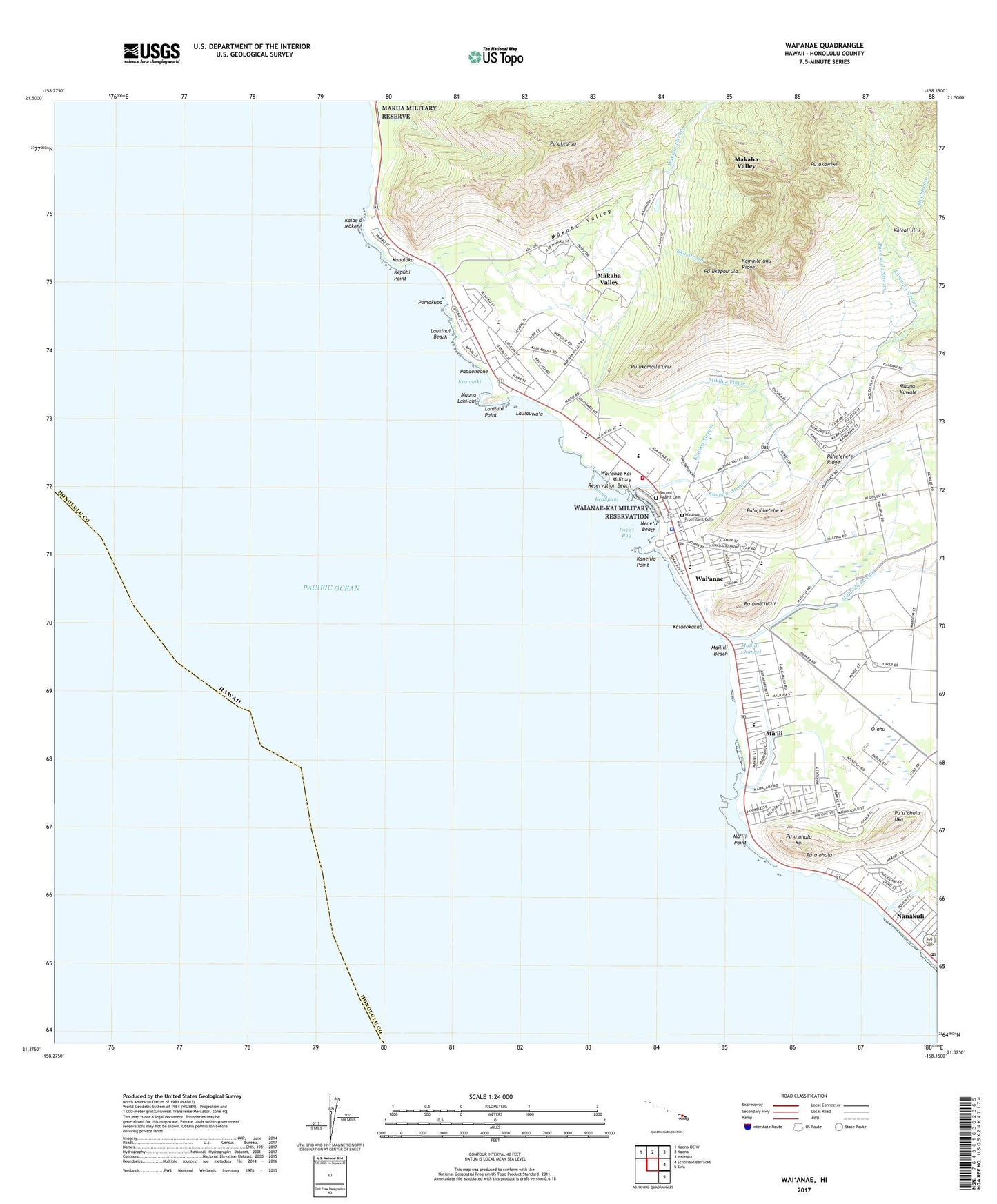
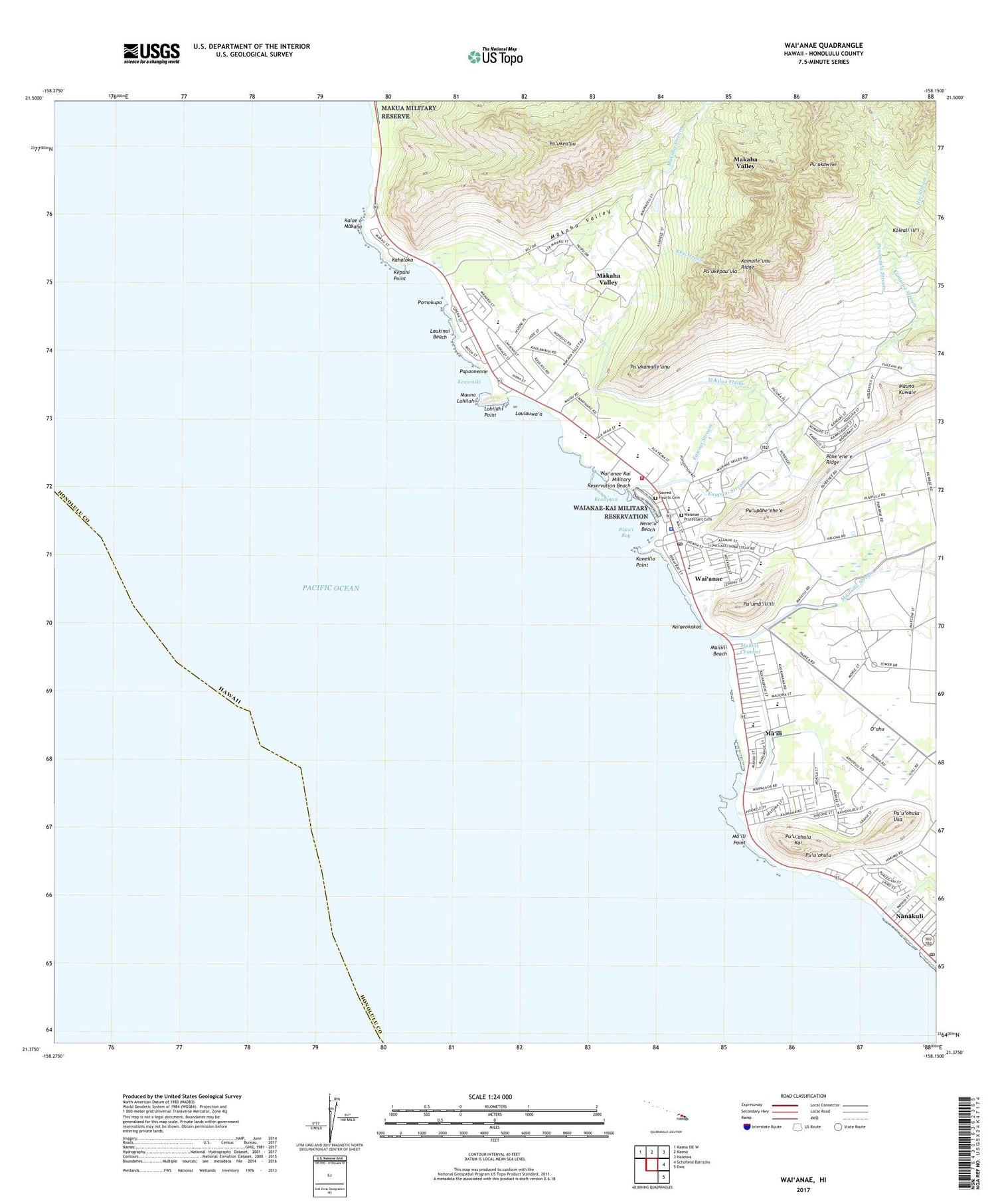
2024 topographic map quadrangle Waianae in the state of Hawaii. Scale: 1:24000. Based on the newly updated USGS 7.5' US Topo map series, this map is in the following counties: Honolulu. The map contains contour data, water features, and other items you are used to seeing on USGS maps, but also has updated roads and other features. This is the next generation of topographic maps. Printed on high-quality waterproof paper with UV fade-resistant inks.
Quads adjacent to this one:
Northwest: Kaena OE W
North: Kaena
Northeast: Haleiwa
East: Schofield Barracks
Southeast: Ewa
This map covers the same area as the classic USGS quad with code o21158d2.
Contains the following named places: Divine Church of God, 'Eku Stream, Emergency Medical Services Unit Nanaikeola, First Baptist Church of Nanakuli, Hiu Stream, Honolulu Emergency Medical Services Unit Waianae, Honolulu Fire Department Waianae Station 26, Honolulu Police Department Waianae Substation, Honua Stream, Ka Hana O Ke Akua United Church of Christ, Kahaloko, Kalae o Makaha, Kalaeokakao, Kamaile Heiau, Kamaile'unu Ridge, Kane'aki Heiau, Kane'ilio Point, Kaua'opu'u Stream, Kaupuni Neighborhood Park, Kaupuni Stream, Kawiwi Stream, Kea'au Beach Park, Keaupuni, Keawaiki, Kepuhi Beach Park, Kepuhi Point, Koleali'ili'i, Ku'ilioloa Heiau (Site), Kumaipo Stream, Kumuku, Lahilahi Point, Lamb of God Church, Laukinui Beach, Laulauwa'a, Leihoku Elementary School, Lualualei Beach Park, Lualualei Hawaiian Home Land, Lualualei Homesteads, Lualualei Reservoir, Maile Church of Christ, Maile Church of God, Ma'ili, Maili Beach Park, Maili Census Designated Place, Maili Church of the Nazarene, Ma'ili Community Park, Maili Elementary School, Ma'ili Hawaiian Home Land, Ma'ili Kai Community Park, Ma'ili Point, Mailiili Beach, Mailiili Channel, Ma'ili'ili Stream, Mailiilii Beach Park, Maipalaoa Beach Park, Makaha, Makaha Beach Park, Makaha Census Designated Place, Makaha Elementary School, Makaha Golf Course, Makaha Playground, Makaha Stream, Makaha Valley, Makaha Valley Census Designated Place, Makaha Valley Hawaiian Home Land, Mauna Lahilahi, Mauna Lahilahi Beach Park, Maunakuwale, Maunalahilahi Botanical Garden, Mikilua Beach Park, Mikilua Flume, Nakatani Shopping Center, Nanaikapono Beach Park, Nanakuli, Nanakuli Census Designated Place, Nanakuli Post Office, Nene'u Beach, Pacific Shopping Mall Shopping Center, Pahe'ehe'e Ridge, Papaoneone, Paradise Chapel, Pililaau Community Park, Poka'i Bay, Pok'ai Bay Beach Park, Pomokupa, Princess Kahanu Estates Hawaiian Home Land, Punanaula Stream, Pu'ukamaile'unu, Pu'ukawiwi, Pu'ukea'au, Pu'ukepau'ula, Pu'uma'ili'ili, Pu'u'ohulu, Puuohulu Beach Park, Pu'u'ohulukai, Pu'u'ohuluuka, Pu'upahe'ehe'e, Sacred Heart Catholic Cemetery, Sacred Heart Church, Saint Philips Episcopal Church, Ulehawa Beach Park, Ulehawa Stream, Wai'anae, Waianae Army Recreation Center, Waianae Baptist Church, Waianae Census Designated Place, Waianae Coast Comprehensive Health Center, Waianae Cornet Village Shopping Center, Wai'anae District, Waianae Division, Wai'anae Elementary School, Wai'anae Field, Wai'anae Hawaiian Home Land, Waianae High School, Wai'anae Homesteads, Waianae Hongwanji Mission, Waianae Intermediate School, Wai'anae Kai, Wai'anae Kai Hawaiian Home Land, Wai'anae Kai Military Reservation Beach, Waianae Mall Shopping Center, Waianae Pentecostal Faith Church, Waianae Post Office, Waianae Protestant Cemetery, Waianae Protestant Church, Waianae Public Library, Waianae Regional Park, Waianae Seventh Day Adventist Church, Wai'anae Stream, Waianae United Methodist Church, Wai'anae Valley, ZIP Code: 96792


