MyTopo
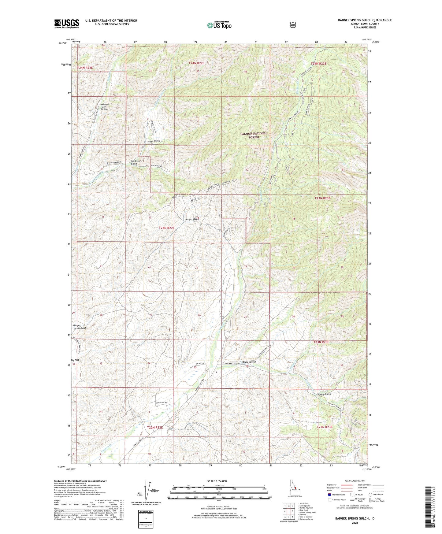
Badger Spring Gulch Idaho US Topo Map
Couldn't load pickup availability
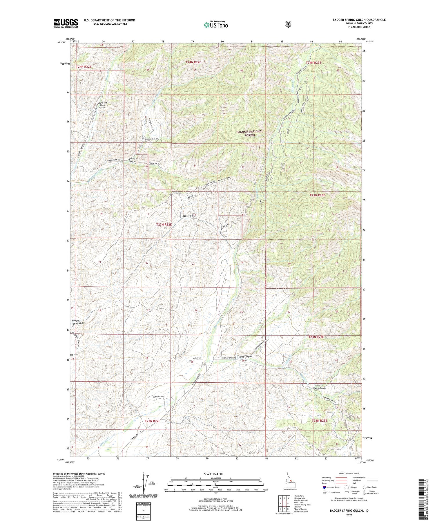
Also explore the Badger Spring Gulch Forest Service Topo of this same quad for updated USFS data
2024 topographic map quadrangle Badger Spring Gulch in the state of Idaho. Scale: 1:24000. Based on the newly updated USGS 7.5' US Topo map series, this map is in the following counties: Lemhi. The map contains contour data, water features, and other items you are used to seeing on USGS maps, but also has updated roads and other features. This is the next generation of topographic maps. Printed on high-quality waterproof paper with UV fade-resistant inks.
Quads adjacent to this one:
West: Bird Creek
Northwest: North Fork
North: Shewag Lake
Northeast: Jumbo Mountain
East: Homer Youngs Peak
Southeast: Bohannon Spring
South: East of Salmon
Southwest: Salmon
This map covers the same area as the classic USGS quad with code o45113c7.
Contains the following named places: Badger Basin, Badger Spring Gulch, Davis Canyon, Freeman Creek, Gold Star Gulch, Golway Gulch, Lewis and Clark Airstrip, Salmon Division, Smout Creek, ZIP Code: 83462