MyTopo
Big Bend Crossing Idaho US Topo Map
Couldn't load pickup availability
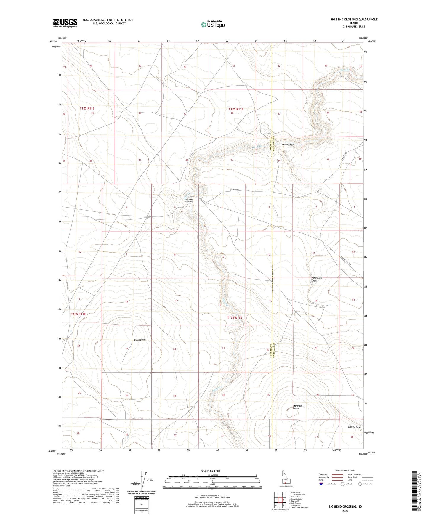
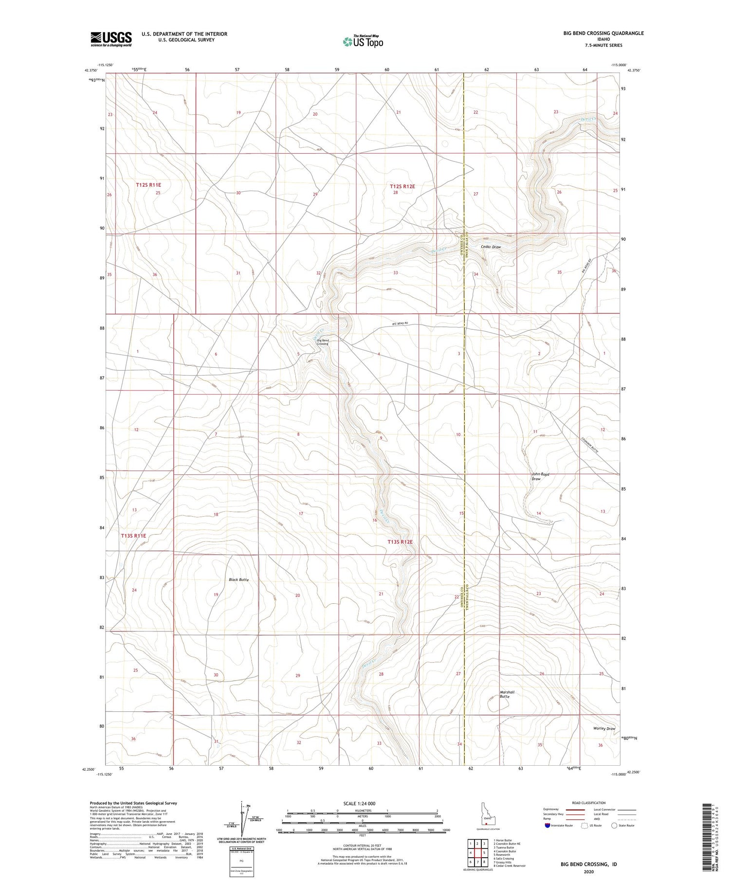
2023 topographic map quadrangle Big Bend Crossing in the state of Idaho. Scale: 1:24000. Based on the newly updated USGS 7.5' US Topo map series, this map is in the following counties: Owyhee, Twin Falls. The map contains contour data, water features, and other items you are used to seeing on USGS maps, but also has updated roads and other features. This is the next generation of topographic maps. Printed on high-quality waterproof paper with UV fade-resistant inks.
Quads adjacent to this one:
West: Coonskin Butte
Northwest: Horse Butte
North: Coonskin Butte NE
Northeast: Tuanna Butte
East: Roseworth
Southeast: Cedar Creek Reservoir
South: Grassy Hills
Southwest: Salls Crossing
This map covers the same area as the classic USGS quad with code o42115c1.
Contains the following named places: Big Bend Crossing, Black Butte, Cedar Draw, Heil Well, John Boyd Draw, Marshall Butte, Old Bend Crossing