MyTopo
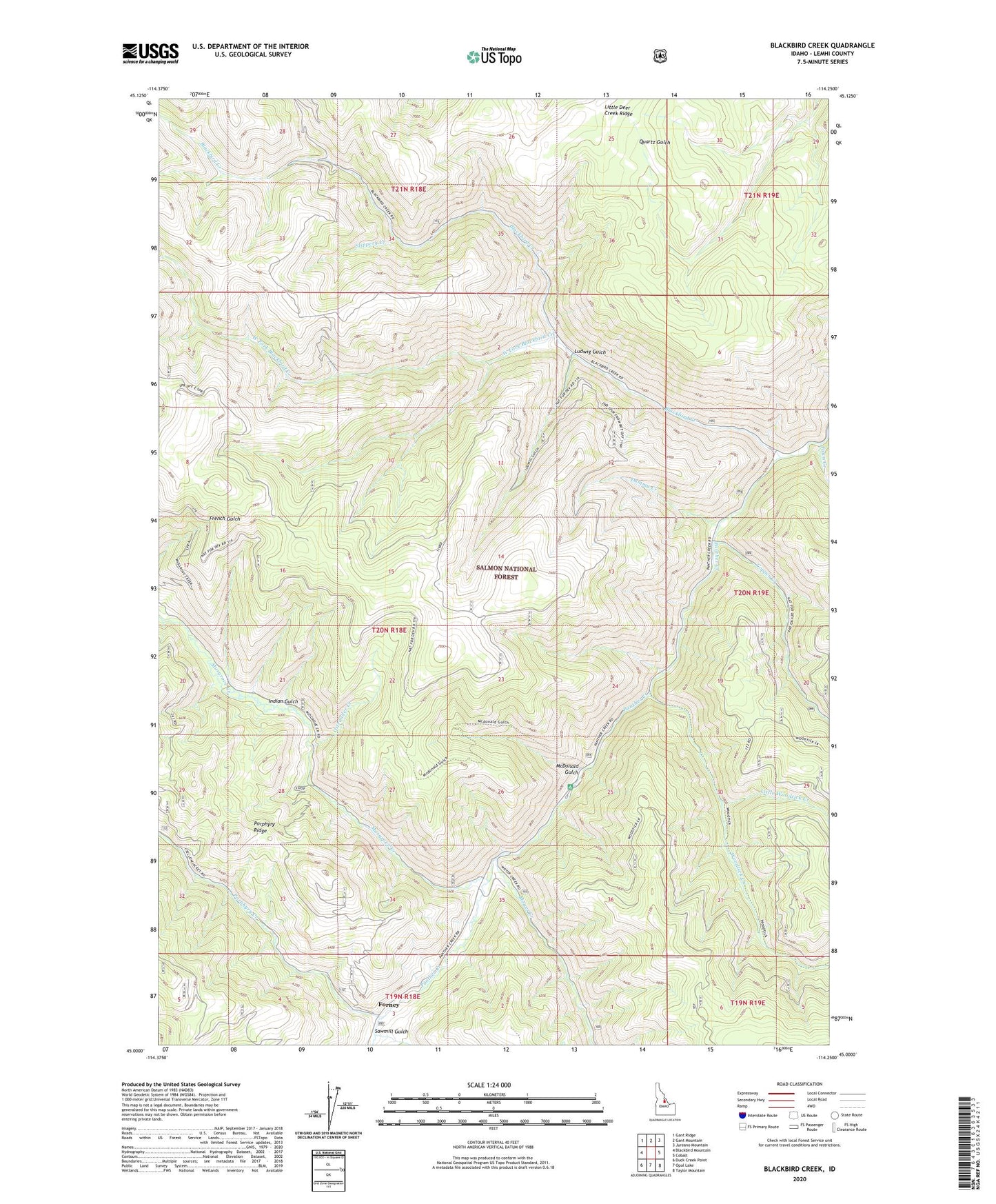
Blackbird Creek Idaho US Topo Map
Couldn't load pickup availability
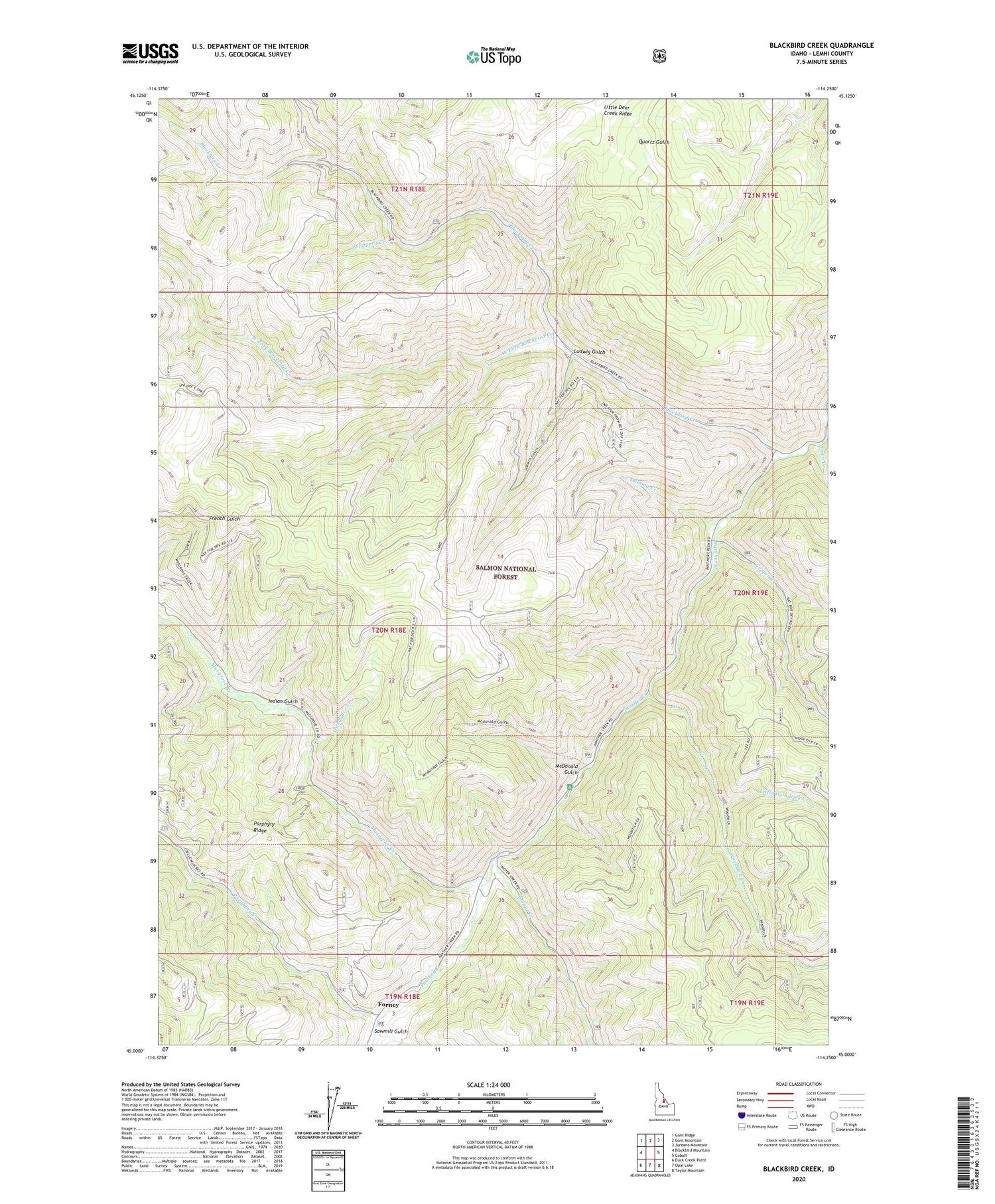
Also explore the Blackbird Creek Forest Service Topo of this same quad for updated USFS data
2024 topographic map quadrangle Blackbird Creek in the state of Idaho. Scale: 1:24000. Based on the newly updated USGS 7.5' US Topo map series, this map is in the following counties: Lemhi. The map contains contour data, water features, and other items you are used to seeing on USGS maps, but also has updated roads and other features. This is the next generation of topographic maps. Printed on high-quality waterproof paper with UV fade-resistant inks.
Quads adjacent to this one:
West: Blackbird Mountain
Northwest: Gant Ridge
North: Gant Mountain
Northeast: Jureano Mountain
East: Cobalt
Southeast: Taylor Mountain
South: Opal Lake
Southwest: Duck Creek Point
This map covers the same area as the classic USGS quad with code o45114a3.
Contains the following named places: Blackbird Creek, Blackbird Mines, Blackbird Tailings Dam, Cobalt Mine, Cobalt Ranger Station, Copper Creek, Degan Ranch, Dummy Creek, Fawn Creek, Indian Gulch, Little Deer Creek Ridge, Little Woodtick Creek, Ludwig Gulch, Mcdonald Flat Recreation Site, McDonald Gulch, Miller Ranch, Moyer Creek, Musgrove Creek, Musgrove Mine, Ostrander Creek, Porphyry Creek, Sawmill Gulch, Slippery Creek, West Fork Blackbird Creek, Woodtick Creek