MyTopo
Blackstone Reservoir Idaho US Topo Map
Couldn't load pickup availability
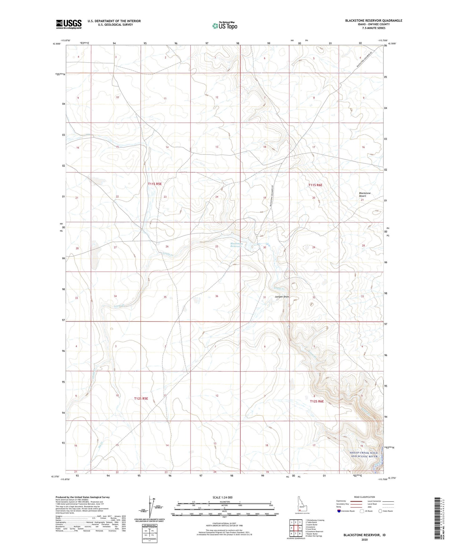
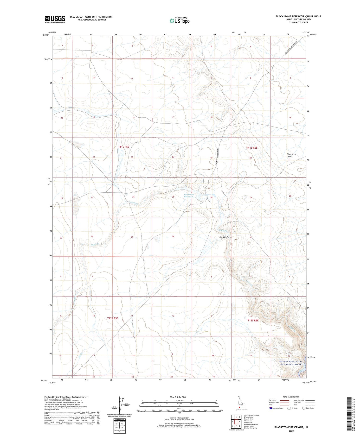
2024 topographic map quadrangle Blackstone Reservoir in the state of Idaho. Scale: 1:24000. Based on the newly updated USGS 7.5' US Topo map series, this map is in the following counties: Owyhee. The map contains contour data, water features, and other items you are used to seeing on USGS maps, but also has updated roads and other features. This is the next generation of topographic maps. Printed on high-quality waterproof paper with UV fade-resistant inks.
Quads adjacent to this one:
West: Grasmere
Northwest: Wickahoney Crossing
North: Table Butte
Northeast: Austin Butte
East: Cave Draw
Southeast: Indian Hot Springs
South: Buster Butte
Southwest: Grasmere Reservoir
This map covers the same area as the classic USGS quad with code o42115d7.
Contains the following named places: Big Holes, Blackstone Ranch, Blackstone Reservoir, Juniper Draw, Nit Creek, Strickland Dam