MyTopo
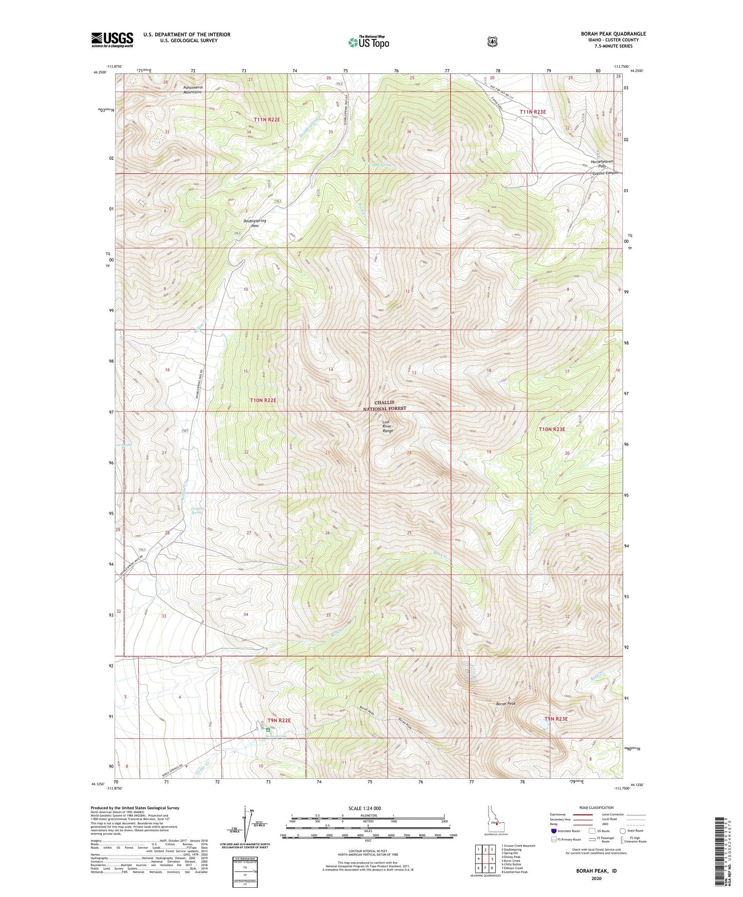
Borah Peak Idaho US Topo Map
Couldn't load pickup availability
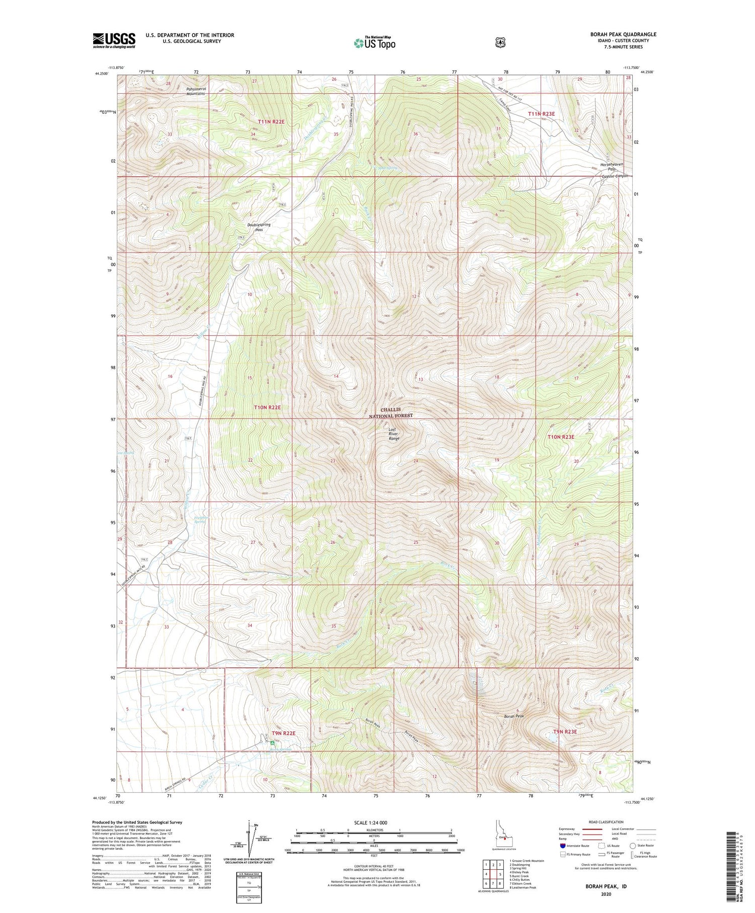
Also explore the Borah Peak Forest Service Topo of this same quad for updated USFS data
2024 topographic map quadrangle Borah Peak in the state of Idaho. Scale: 1:24000. Based on the newly updated USGS 7.5' US Topo map series, this map is in the following counties: Custer. The map contains contour data, water features, and other items you are used to seeing on USGS maps, but also has updated roads and other features. This is the next generation of topographic maps. Printed on high-quality waterproof paper with UV fade-resistant inks.
Quads adjacent to this one:
West: Dickey Peak
Northwest: Grouse Creek Mountain
North: Doublespring
Northeast: Spring Hill
East: Burnt Creek
Southeast: Leatherman Peak
South: Elkhorn Creek
Southwest: Chilly Buttes
This map covers the same area as the classic USGS quad with code o44113b7.
Contains the following named places: Birch Springs, Borah Glacier, Borah Peak, Buck Creek, Cayuse Canyon, Doublespring Pass, Earthquake Visitors Information Center, Freighter Spring, Horseheaven Pass, Mule Spring