
MyTopo
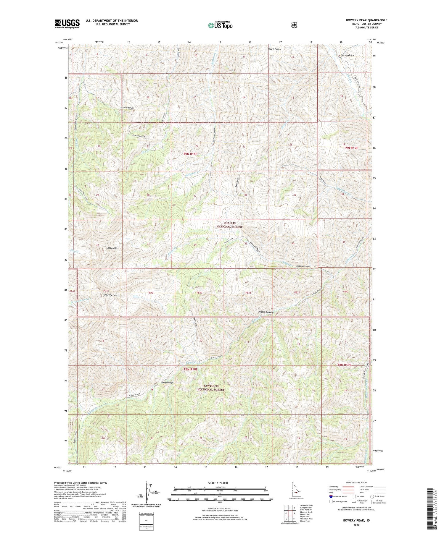
Bowery Peak Idaho US Topo Map
Couldn't load pickup availability
Also explore the Bowery Peak Forest Service Topo of this same quad for updated USFS data
2024 topographic map quadrangle Bowery Peak in the state of Idaho. Scale: 1:24000. Based on the newly updated USGS 7.5' US Topo map series, this map is in the following counties: Custer. The map contains contour data, water features, and other items you are used to seeing on USGS maps, but also has updated roads and other features. This is the next generation of topographic maps. Printed on high-quality waterproof paper with UV fade-resistant inks.
Quads adjacent to this one:
West: Bowery Creek
Northwest: Potaman Peak
North: Ziegler Basin
Northeast: The Paint Pot
East: Herd Lake
Southeast: Herd Peak
South: Meridian Peak
Southwest: Ryan Peak
This map covers the same area as the classic USGS quad with code o44114a3.
Contains the following named places: Bowery Peak, Jim McClure-Jerry Peak Wilderness, Lake Creek, Meridian Creek, Middle Canyon, Sheep Bridge, Sheep Creek, Sheep Mountain, Spring Gulch, Taylor Creek


