
MyTopo
Browns Bench North Idaho US Topo Map
Couldn't load pickup availability
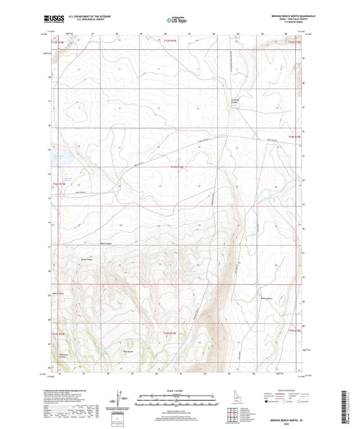
2023 topographic map quadrangle Browns Bench North in the state of Idaho. Scale: 1:24000. Based on the newly updated USGS 7.5' US Topo map series, this map is in the following counties: Twin Falls. The map contains contour data, water features, and other items you are used to seeing on USGS maps, but also has updated roads and other features. This is the next generation of topographic maps. Printed on high-quality waterproof paper with UV fade-resistant inks.
Quads adjacent to this one:
West: Cedar Creek Reservoir
Northwest: Roseworth
North: Roseworth SE
Northeast: Hollister SW
East: Salmon Butte
Southeast: Norton Canyon
South: Browns Bench South
Southwest: Taylor Canyon
This map covers the same area as the classic USGS quad with code o42114b7.
Contains the following named places: Antelope Spring, Antelope Spring Ranch, Black Canyon, Black Canyon Spring, Bobcat Butte, Box Spring, Charlie Brackett Spring, Reynolds Springs, Rock House Place, Rocky Canyon, Tank Spring, Threemile Crossing, Twin Buttes, Vosburg Place, Whiskey Slough


