MyTopo
Hollister SW Idaho US Topo Map
Couldn't load pickup availability
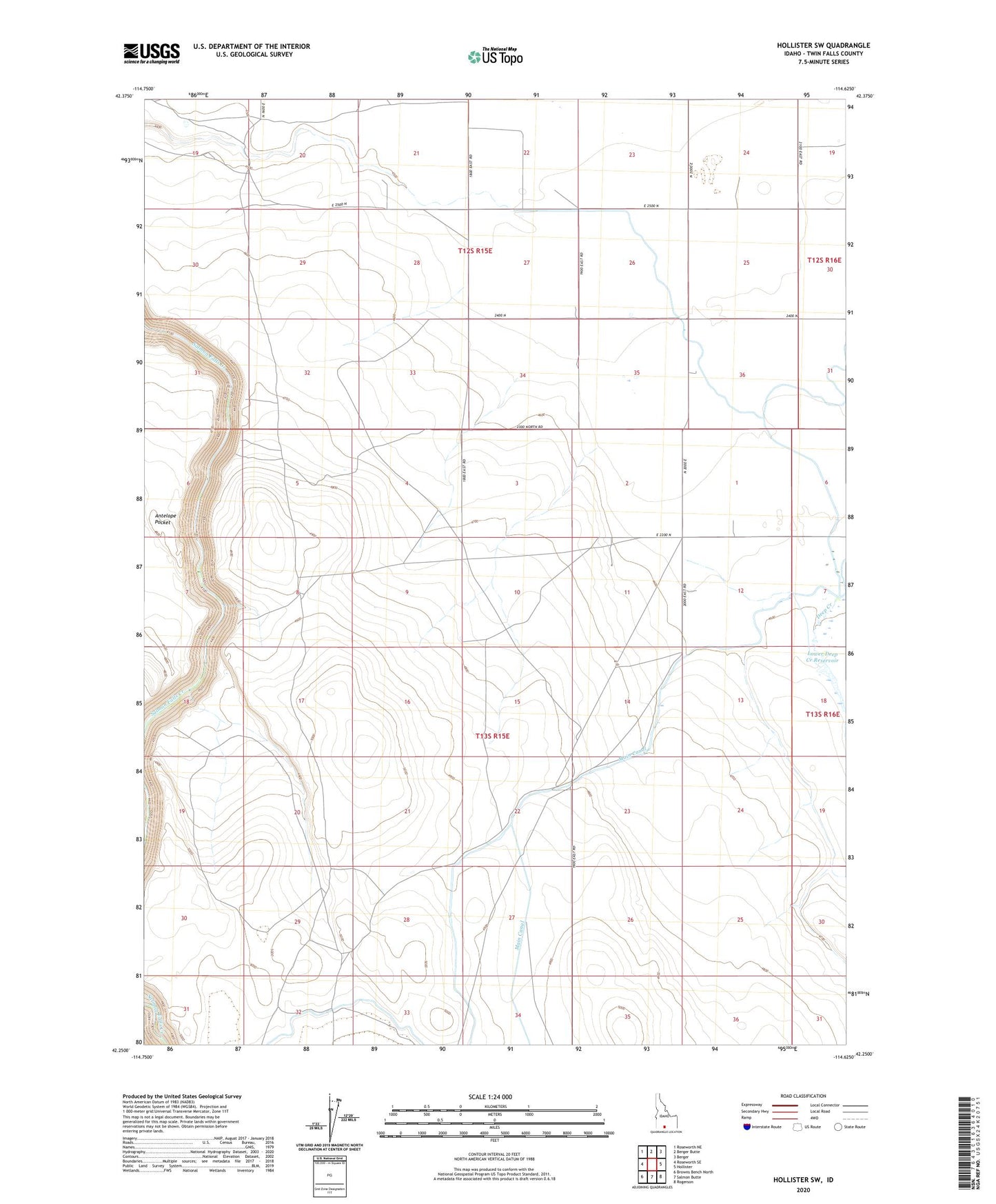
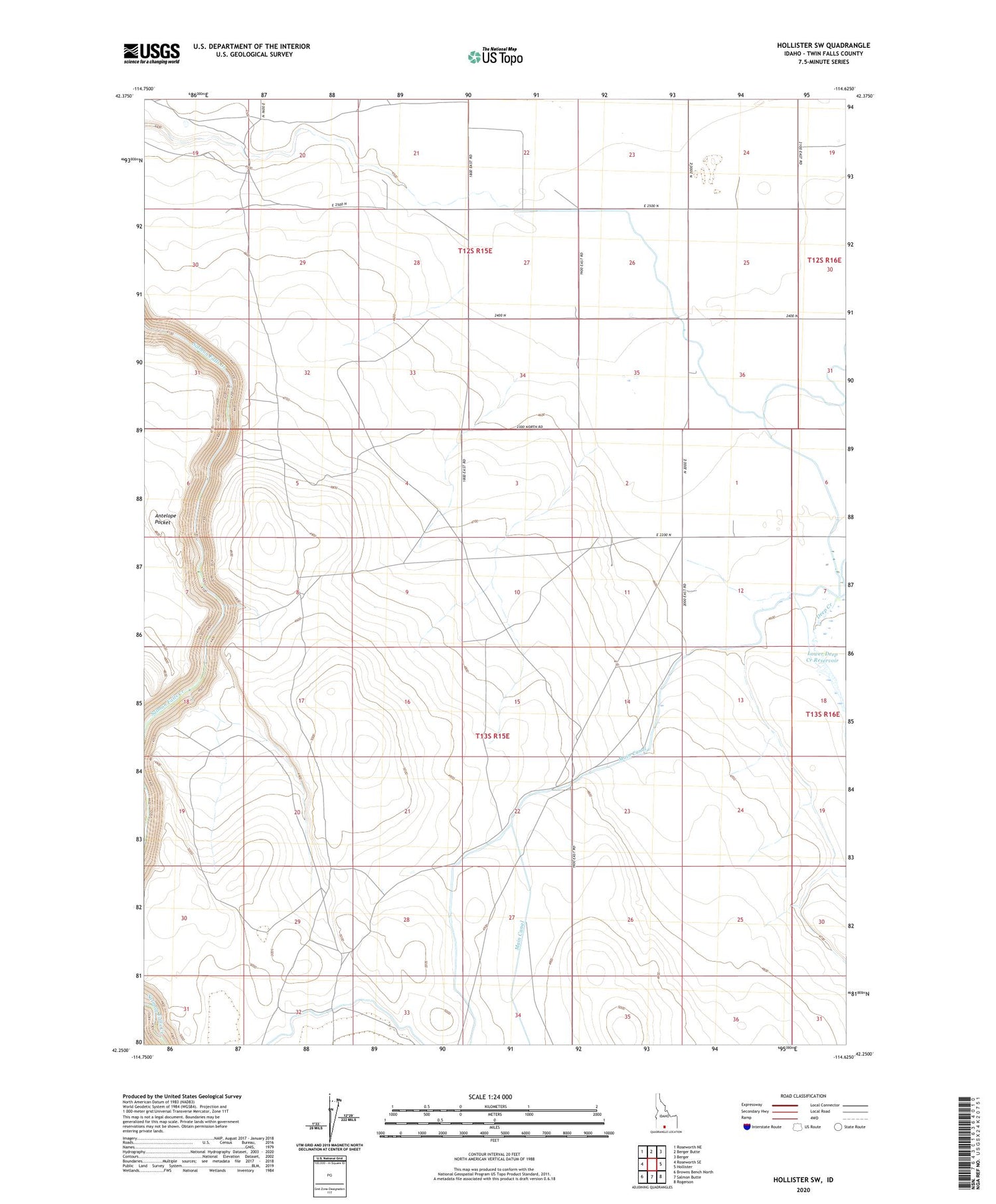
2023 topographic map quadrangle Hollister SW in the state of Idaho. Scale: 1:24000. Based on the newly updated USGS 7.5' US Topo map series, this map is in the following counties: Twin Falls. The map contains contour data, water features, and other items you are used to seeing on USGS maps, but also has updated roads and other features. This is the next generation of topographic maps. Printed on high-quality waterproof paper with UV fade-resistant inks.
Quads adjacent to this one:
West: Roseworth SE
Northwest: Roseworth NE
North: Berger Butte
Northeast: Berger
East: Hollister
Southeast: Rogerson
South: Salmon Butte
Southwest: Browns Bench North
This map covers the same area as the classic USGS quad with code o42114c6.
Contains the following named places: Deep Creek, Deep Creek Number One Dam, Lower Deep Creek Reservoir, Twin Falls County