MyTopo
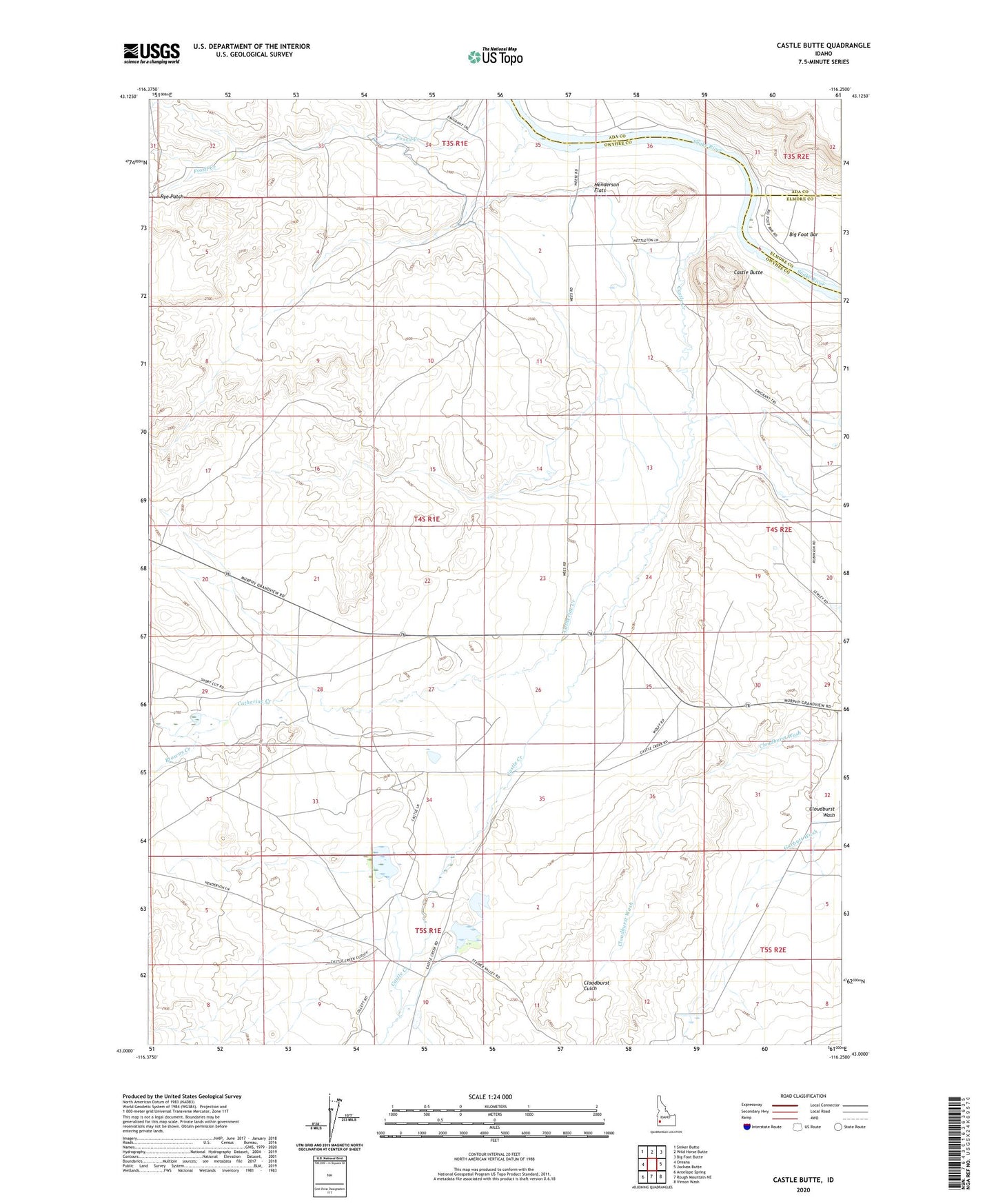
Castle Butte Idaho US Topo Map
Couldn't load pickup availability
2023 topographic map quadrangle Castle Butte in the state of Idaho. Scale: 1:24000. Based on the newly updated USGS 7.5' US Topo map series, this map is in the following counties: Owyhee, Ada, Elmore. The map contains contour data, water features, and other items you are used to seeing on USGS maps, but also has updated roads and other features. This is the next generation of topographic maps. Printed on high-quality waterproof paper with UV fade-resistant inks.
Quads adjacent to this one:
West: Oreana
Northwest: Sinker Butte
North: Wild Horse Butte
Northeast: Big Foot Butte
East: Jackass Butte
Southeast: Vinson Wash
South: Rough Mountain NE
Southwest: Antelope Spring
This map covers the same area as the classic USGS quad with code o43116a3.
Contains the following named places: Browns Creek, Castle Butte, Castle Creek, Castle Creek School, Catherine Creek, Clarks Ferry, Feeny Wells, Foreman Dam, Foremans Reservoir, Garbutt Wash, Henderson Flats, Morgan Place, Oregon Trail - South Alternate