MyTopo
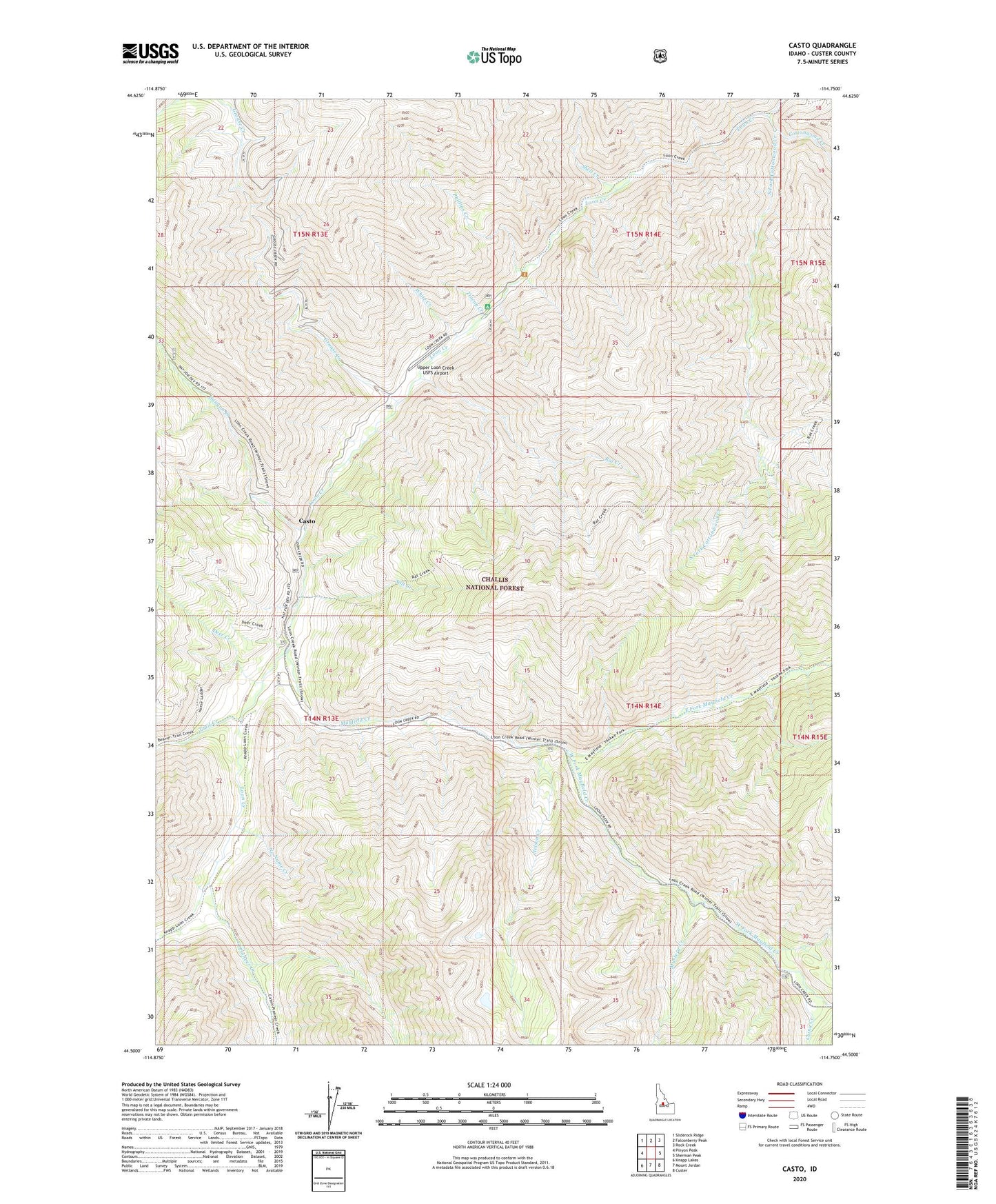
Casto Idaho US Topo Map
Couldn't load pickup availability
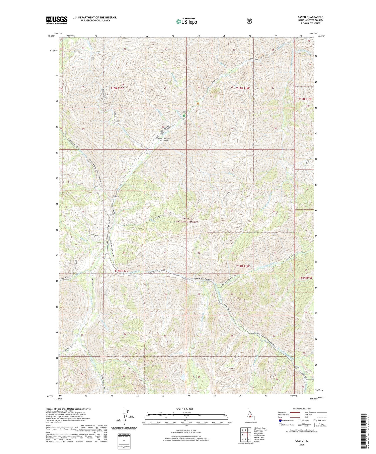
Also explore the Casto Forest Service Topo of this same quad for updated USFS data
2024 topographic map quadrangle Casto in the state of Idaho. Scale: 1:24000. Based on the newly updated USGS 7.5' US Topo map series, this map is in the following counties: Custer. The map contains contour data, water features, and other items you are used to seeing on USGS maps, but also has updated roads and other features. This is the next generation of topographic maps. Printed on high-quality waterproof paper with UV fade-resistant inks.
Quads adjacent to this one:
West: Pinyon Peak
Northwest: Sliderock Ridge
North: Falconberry Peak
Northeast: Rock Creek
East: Sherman Peak
Southeast: Custer
South: Mount Jordan
Southwest: Knapp Lakes
This map covers the same area as the classic USGS quad with code o44114e7.
Contains the following named places: Boyle Landing Strip, Boyle Ranch, Canyon Creek, Casto, China Creek, China Creek Recreation Site, Cottonwood Creek, Deer Creek, East Fork Mayfield Creek, Grouse Creek, Loon Creek Guard Station, Mayfield Creek, Mayfield Creek Recreation Site, Monte Cristo Recreation Site, Mystery Creek, Mystery Creek Recreation Site, Nelson Creek, No Name Creek, Phillips Creek, Phillips Creek Transfer Campground, Pioneer Creek, Rat Creek, Rat Creek Recreation Site, Salt Creek, Shell Creek, South Fork Cottonwood Creek, Tincup Campground, Tincup Creek, Trail Creek, Transfer Campground, Upper Loon Creek USFS Airport, West Fork Mayfield Creek, White Creek