MyTopo
Christmas Mountain Idaho US Topo Map
Couldn't load pickup availability
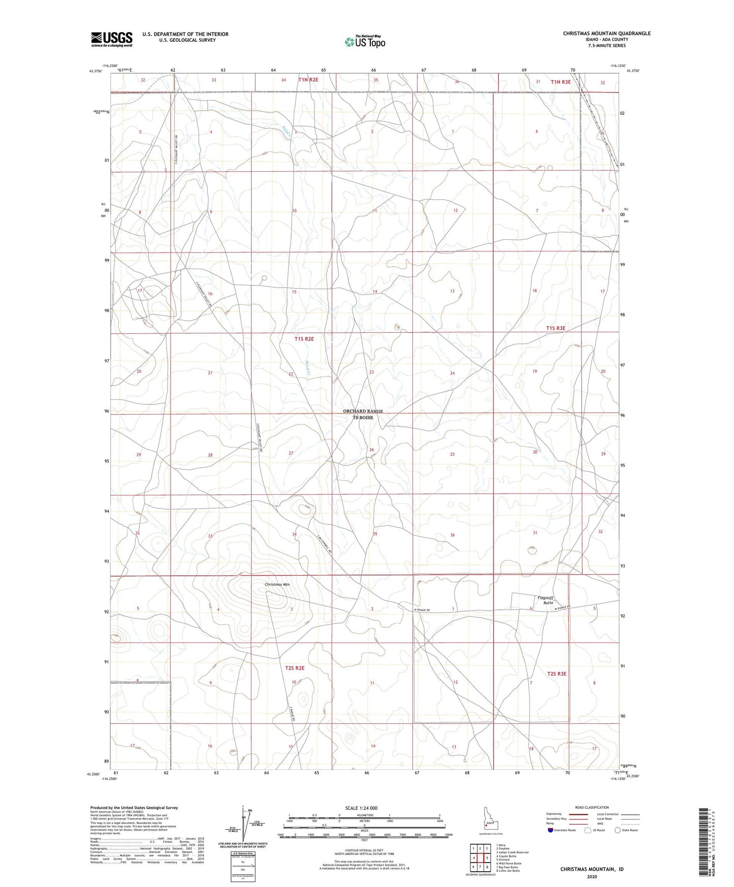
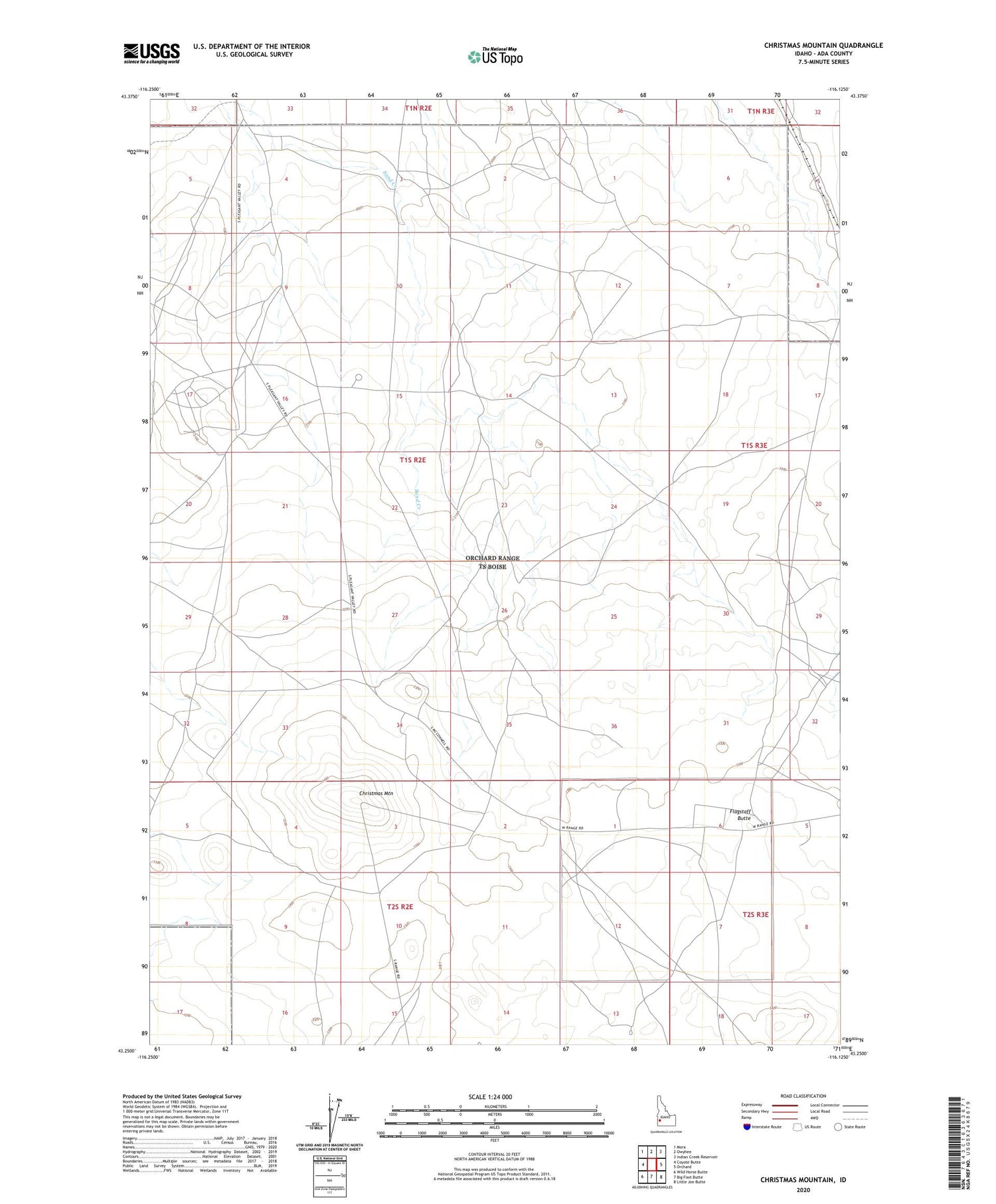
2023 topographic map quadrangle Christmas Mountain in the state of Idaho. Scale: 1:24000. Based on the newly updated USGS 7.5' US Topo map series, this map is in the following counties: Ada. The map contains contour data, water features, and other items you are used to seeing on USGS maps, but also has updated roads and other features. This is the next generation of topographic maps. Printed on high-quality waterproof paper with UV fade-resistant inks.
Quads adjacent to this one:
West: Coyote Butte
Northwest: Mora
North: Owyhee
Northeast: Indian Creek Reservoir
East: Orchard
Southeast: Little Joe Butte
South: Big Foot Butte
Southwest: Wild Horse Butte
This map covers the same area as the classic USGS quad with code o43116c2.
Contains the following named places: Christmas Mountain, Flagstaff Butte, Orchard Division