MyTopo
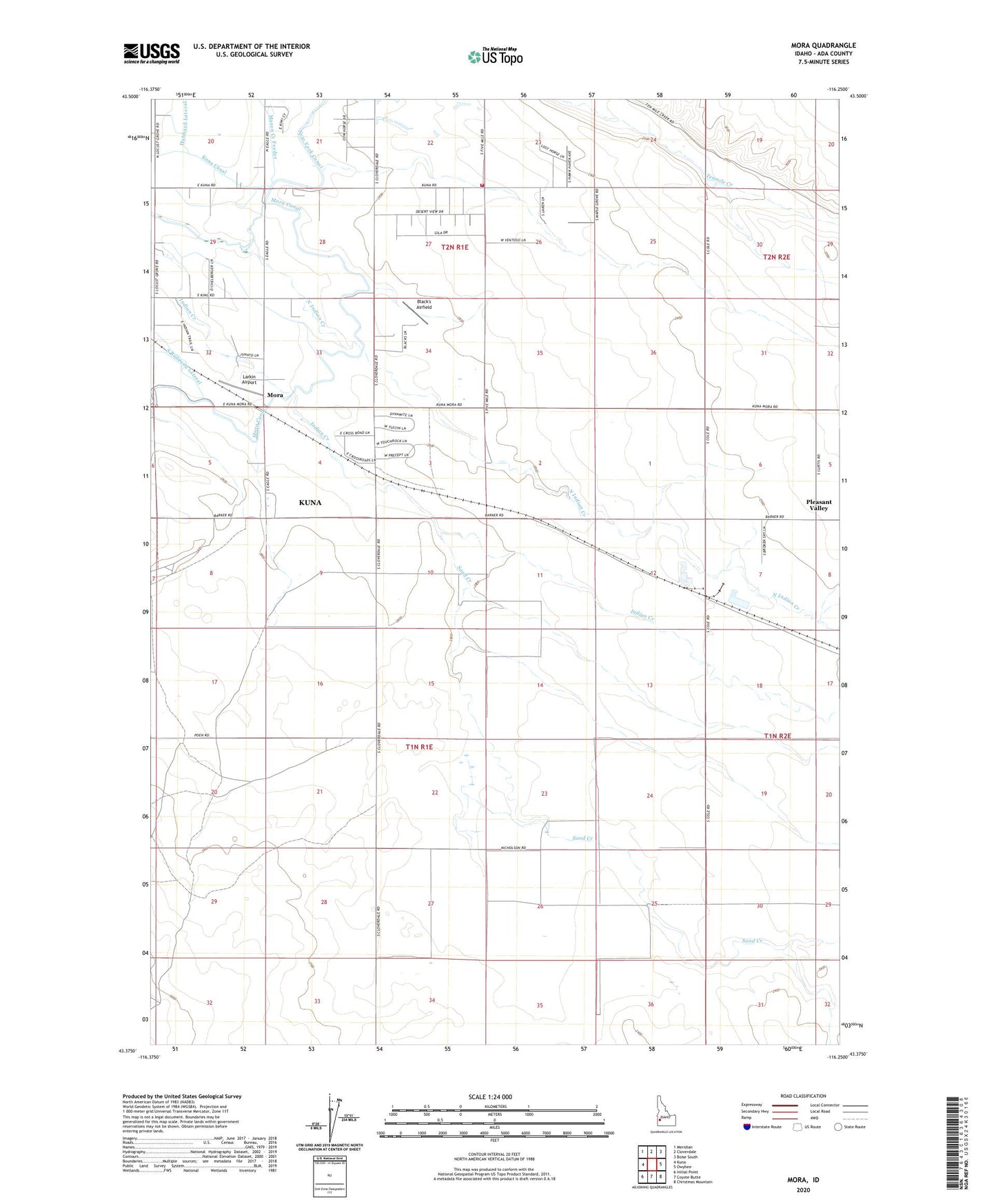
Mora Idaho US Topo Map
Couldn't load pickup availability
2023 topographic map quadrangle Mora in the state of Idaho. Scale: 1:24000. Based on the newly updated USGS 7.5' US Topo map series, this map is in the following counties: Ada. The map contains contour data, water features, and other items you are used to seeing on USGS maps, but also has updated roads and other features. This is the next generation of topographic maps. Printed on high-quality waterproof paper with UV fade-resistant inks.
Quads adjacent to this one:
West: Kuna
Northwest: Meridian
North: Cloverdale
Northeast: Boise South
East: Owyhee
Southeast: Christmas Mountain
South: Coyote Butte
Southwest: Initial Point
This map covers the same area as the classic USGS quad with code o43116d3.
Contains the following named places: Black's Airfield, Hubbard Lateral, KBOI-AM (Boise), Kuna Rural Fire District Station 2, Larkin Airport, Mora, New York Canal, Nicholson Dam, Sand Creek, ZIP Code: 83634