MyTopo
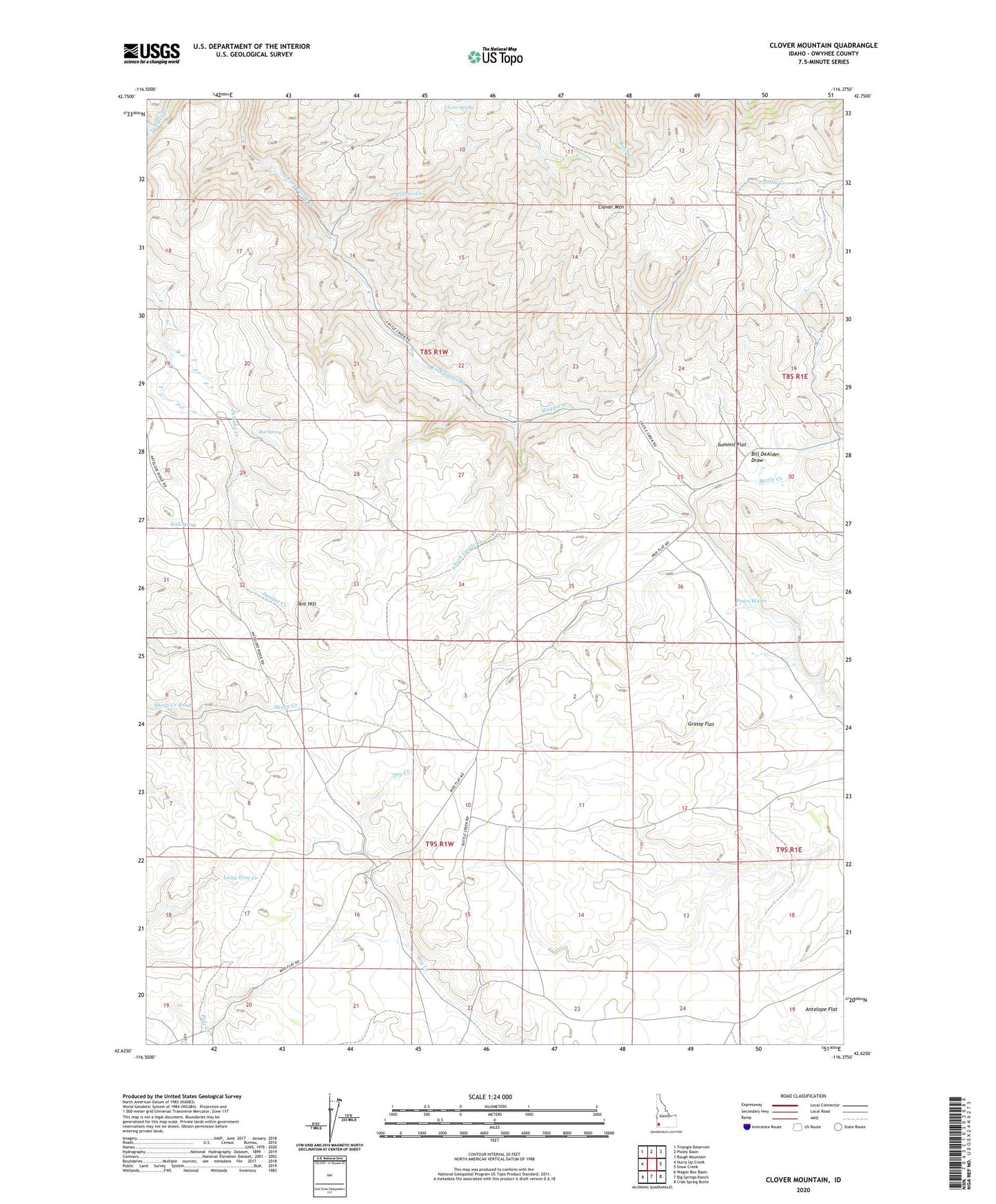
Clover Mountain Idaho US Topo Map
Couldn't load pickup availability
2023 topographic map quadrangle Clover Mountain in the state of Idaho. Scale: 1:24000. Based on the newly updated USGS 7.5' US Topo map series, this map is in the following counties: Owyhee. The map contains contour data, water features, and other items you are used to seeing on USGS maps, but also has updated roads and other features. This is the next generation of topographic maps. Printed on high-quality waterproof paper with UV fade-resistant inks.
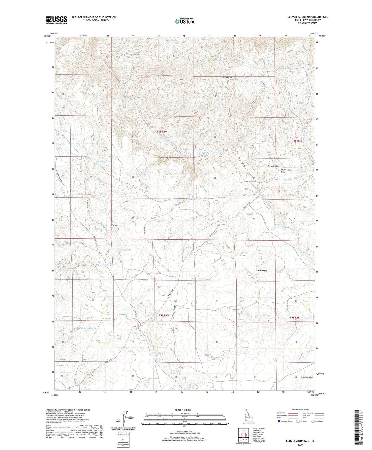
Quads adjacent to this one:
West: Hurry Up Creek
Northwest: Triangle Reservoir
North: Pixley Basin
Northeast: Rough Mountain
East: Snow Creek
Southeast: Crab Spring Butte
South: Big Springs Ranch
Southwest: Wagon Box Basin
This map covers the same area as the classic USGS quad with code o42116f4.
Contains the following named places: Ant Hill, Ant Hill Well, Antelope Flat, Battle Creek Well, Bill DeAlder Draw, Clover Creek, Clover Mountain, Clover Spring, Grassy Flat, Juniper Station, Magpie Creek, Paws Water, Rat Spring, Rock Spring, Sheep Creek Pond, Silver Rock Mine, Summit Flat