MyTopo
Dubois Idaho US Topo Map
Couldn't load pickup availability
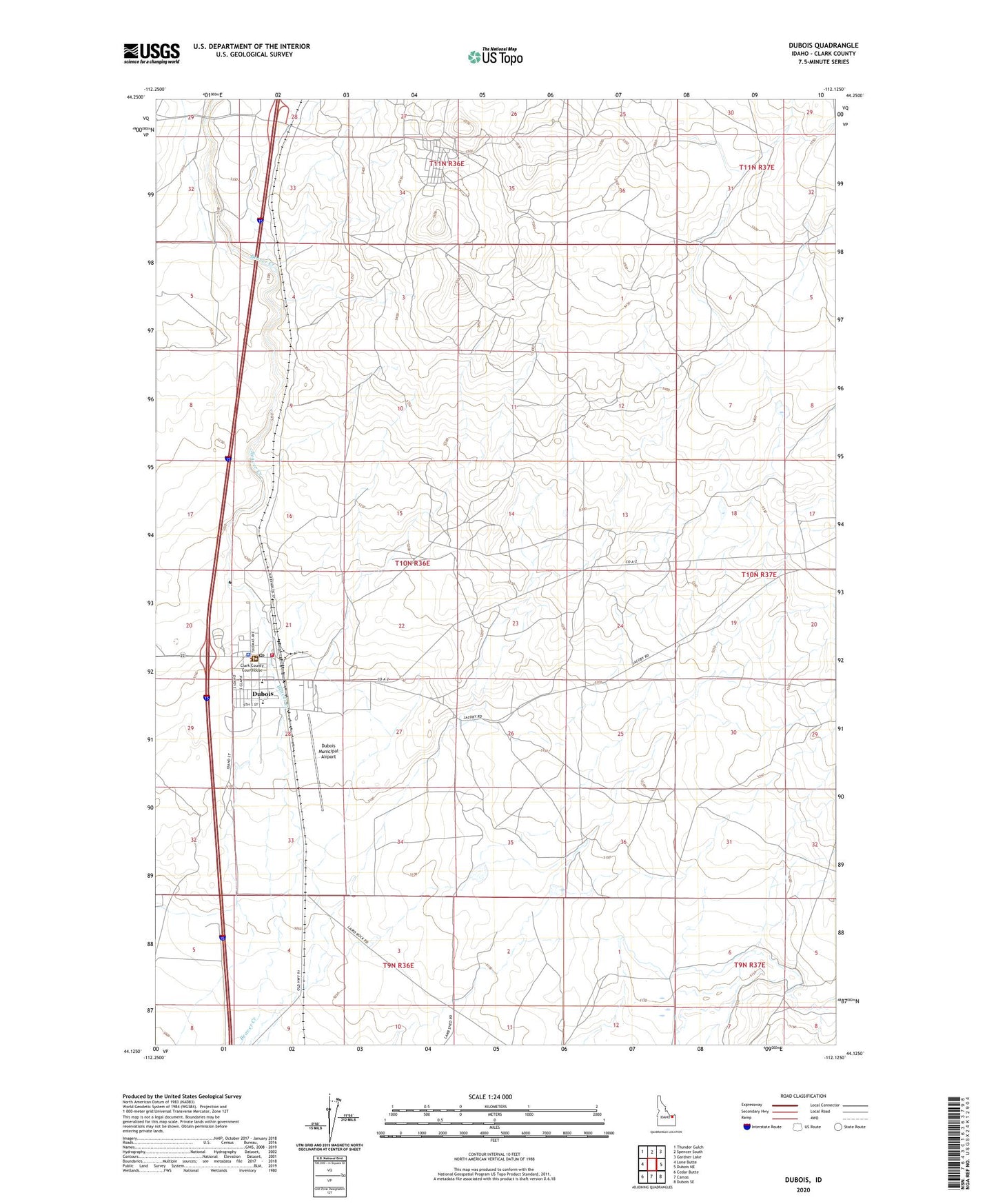
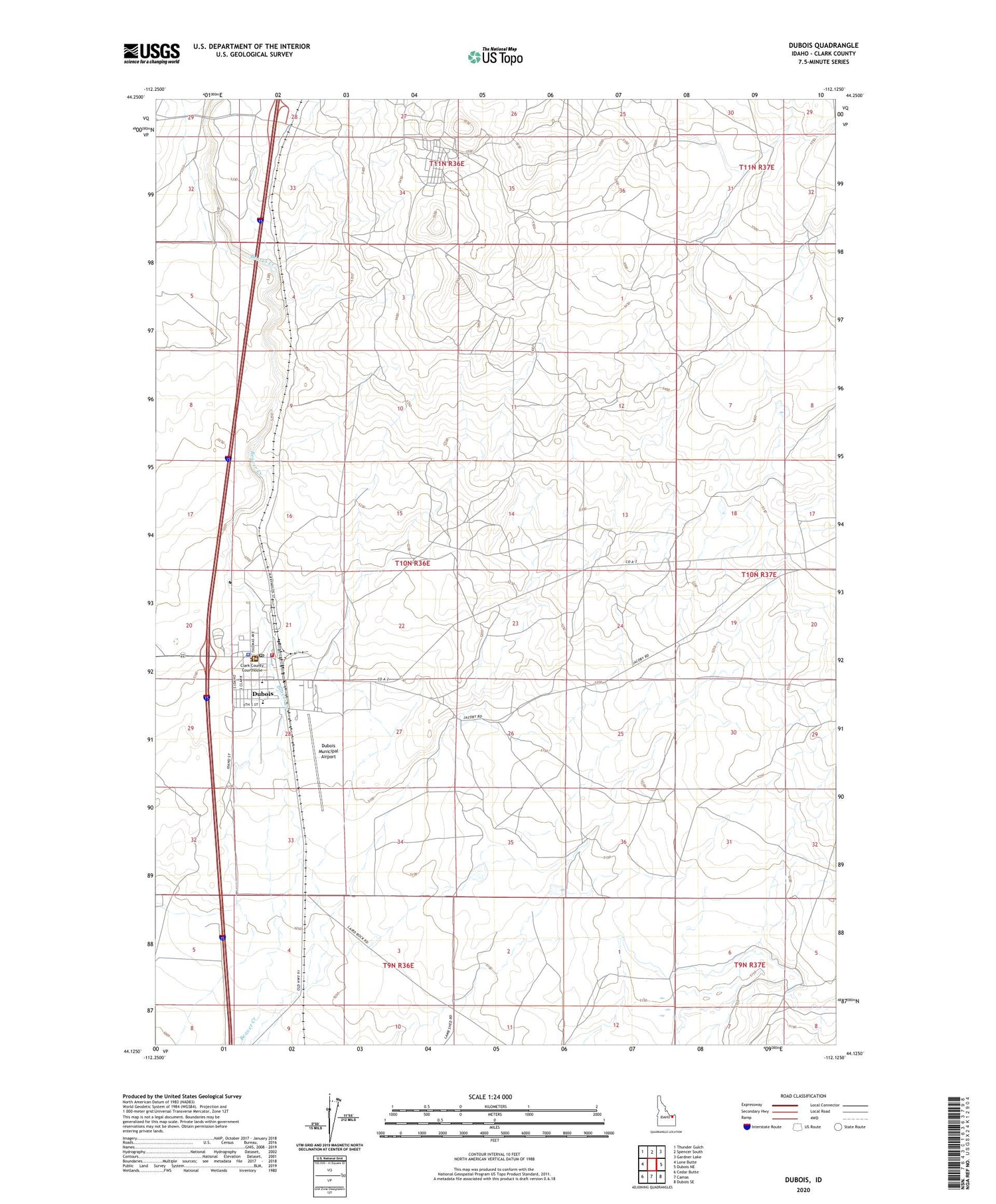
2023 topographic map quadrangle Dubois in the state of Idaho. Scale: 1:24000. Based on the newly updated USGS 7.5' US Topo map series, this map is in the following counties: Clark. The map contains contour data, water features, and other items you are used to seeing on USGS maps, but also has updated roads and other features. This is the next generation of topographic maps. Printed on high-quality waterproof paper with UV fade-resistant inks.
Quads adjacent to this one:
West: Lone Butte
Northwest: Thunder Gulch
North: Spencer South
Northeast: Gardner Lake
East: Dubois NE
Southeast: Dubois SE
South: Camas
Southwest: Cedar Butte
This map covers the same area as the classic USGS quad with code o44112b2.
Contains the following named places: City of Dubois, Clark County Ambulance, Clark County Junior-Senior High School, Dubois, Dubois City Fire Department, Dubois County Sheriff's Office, Dubois Municipal Airport, Dubois Post Office, Lindy Ross Elementary School