MyTopo
Dunn Basin Idaho US Topo Map
Couldn't load pickup availability
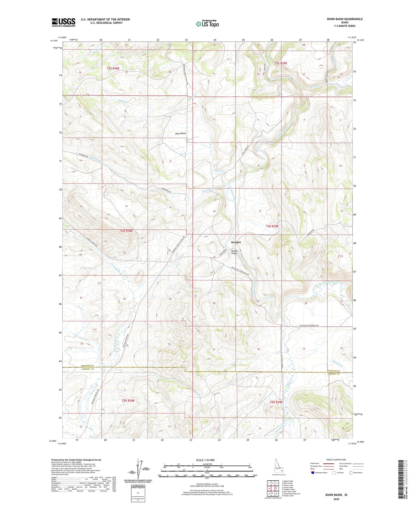
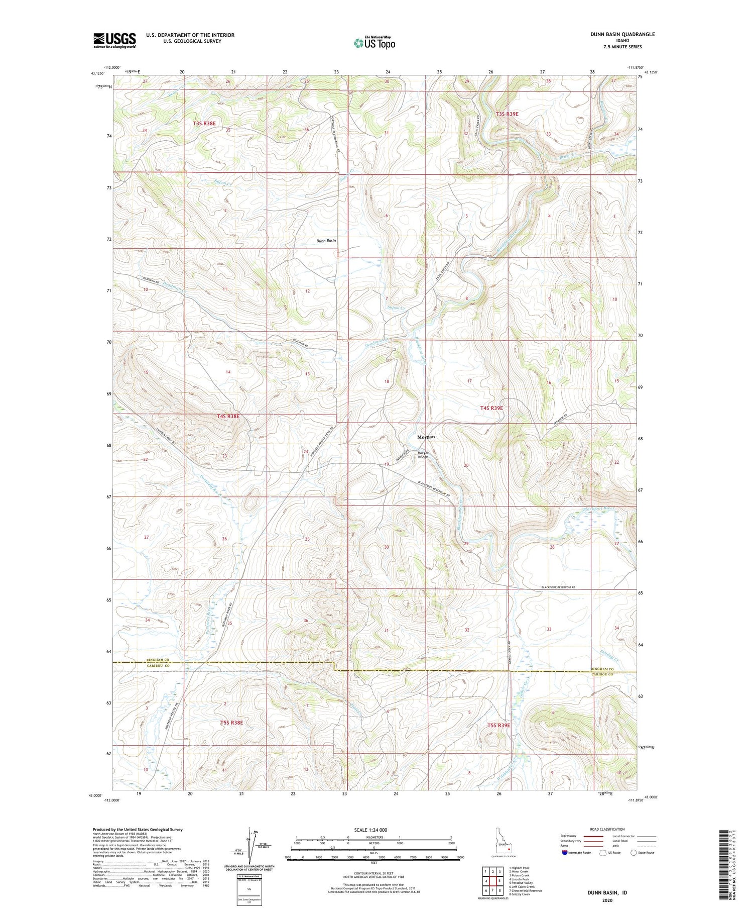
2024 topographic map quadrangle Dunn Basin in the state of Idaho. Scale: 1:24000. Based on the newly updated USGS 7.5' US Topo map series, this map is in the following counties: Bingham, Caribou. The map contains contour data, water features, and other items you are used to seeing on USGS maps, but also has updated roads and other features. This is the next generation of topographic maps. Printed on high-quality waterproof paper with UV fade-resistant inks.
Quads adjacent to this one:
West: Lincoln Peak
Northwest: Higham Peak
North: Miner Creek
Northeast: Poison Creek
East: Paradise Valley
Southeast: Grizzly Creek
South: Chesterfield Reservoir
Southwest: Jeff Cabin Creek
This map covers the same area as the classic USGS quad with code o43111a8.
Contains the following named places: Austin Ranch, Brush Creek, Deadman Creek, Dunn Basin, Grave Creek, Morgan, Morgan Bridge, Rawlins Creek, Short Creek, Sunday Creek, Supon Creek, Trail Creek, Warbonnet Creek