MyTopo
Grizzly Creek Idaho US Topo Map
Couldn't load pickup availability
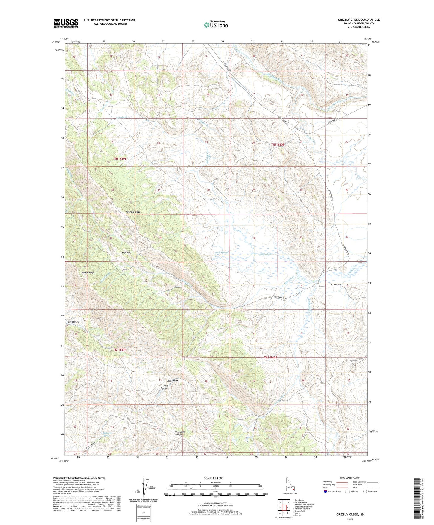
2023 topographic map quadrangle Grizzly Creek in the state of Idaho. Scale: 1:24000. Based on the newly updated USGS 7.5' US Topo map series, this map is in the following counties: Caribou. The map contains contour data, water features, and other items you are used to seeing on USGS maps, but also has updated roads and other features. This is the next generation of topographic maps. Printed on high-quality waterproof paper with UV fade-resistant inks.
Quads adjacent to this one:
West: Chesterfield Reservoir
Northwest: Dunn Basin
North: Paradise Valley
Northeast: Meadow Creek Mountain
East: Reservoir Mountain
Southeast: The Dip
South: Hatch
Southwest: Chesterfield
This map covers the same area as the classic USGS quad with code o42111h7.
Contains the following named places: Chesterfield Cow Camp, Corral Creek, Dairy Springs, Devils Gate, Dry Hollow, Millward Spring, Pine Grove, Sawmill Creek, Sawmill Ridge, Swaps Pass, Thompson Creek, Windy Ridge