MyTopo
Fissure Butte Idaho US Topo Map
Couldn't load pickup availability
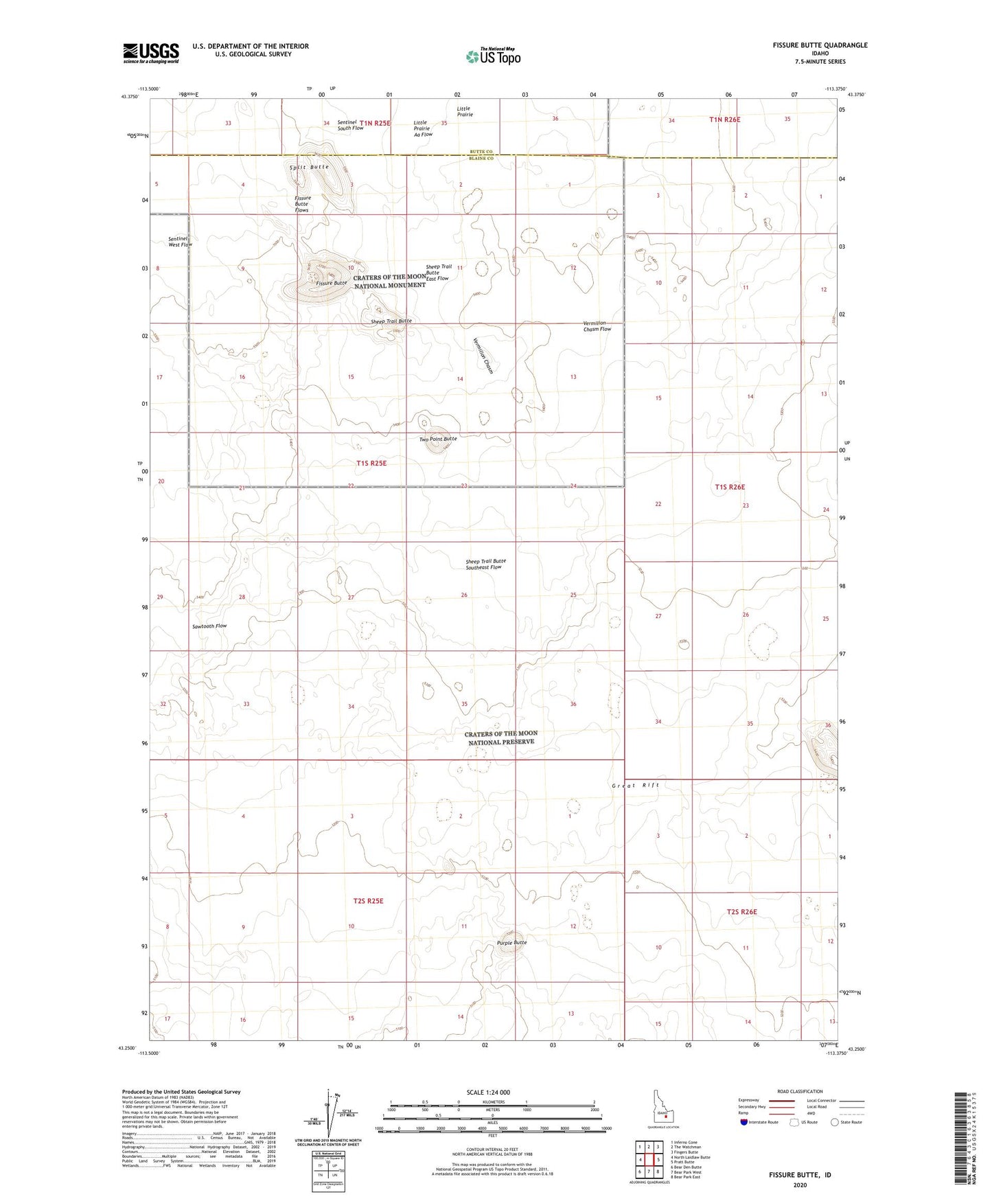
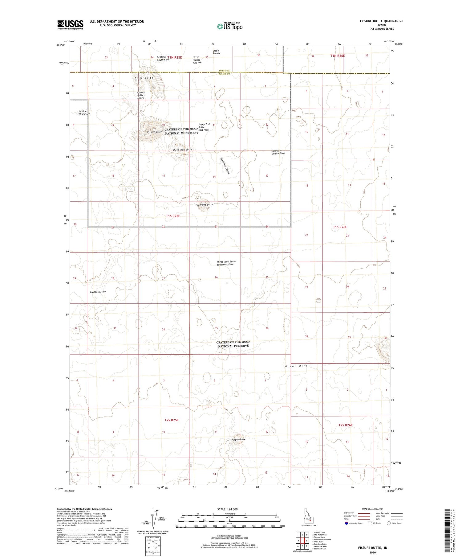
2023 topographic map quadrangle Fissure Butte in the state of Idaho. Scale: 1:24000. Based on the newly updated USGS 7.5' US Topo map series, this map is in the following counties: Blaine, Butte. The map contains contour data, water features, and other items you are used to seeing on USGS maps, but also has updated roads and other features. This is the next generation of topographic maps. Printed on high-quality waterproof paper with UV fade-resistant inks.
Quads adjacent to this one:
West: North Laidlaw Butte
Northwest: Inferno Cone
North: The Watchman
Northeast: Fingers Butte
East: Pratt Butte
Southeast: Bear Park East
South: Bear Park West
Southwest: Bear Den Butte
This map covers the same area as the classic USGS quad with code o43113c4.
Contains the following named places: Bridge of the Moon, Fissure Butte, Fissure Butte Flows, Purple Butte, Sawtooth Flow, Sentinel South Flow, Sentinel West Flow, Sheep Trail Butte, Sheep Trail Butte East Flow, Sheep Trail Butte Southeast Flow, Split Butte, Two Point Butte, Vermilion Chasm, Vermilion Chasm Flow