MyTopo
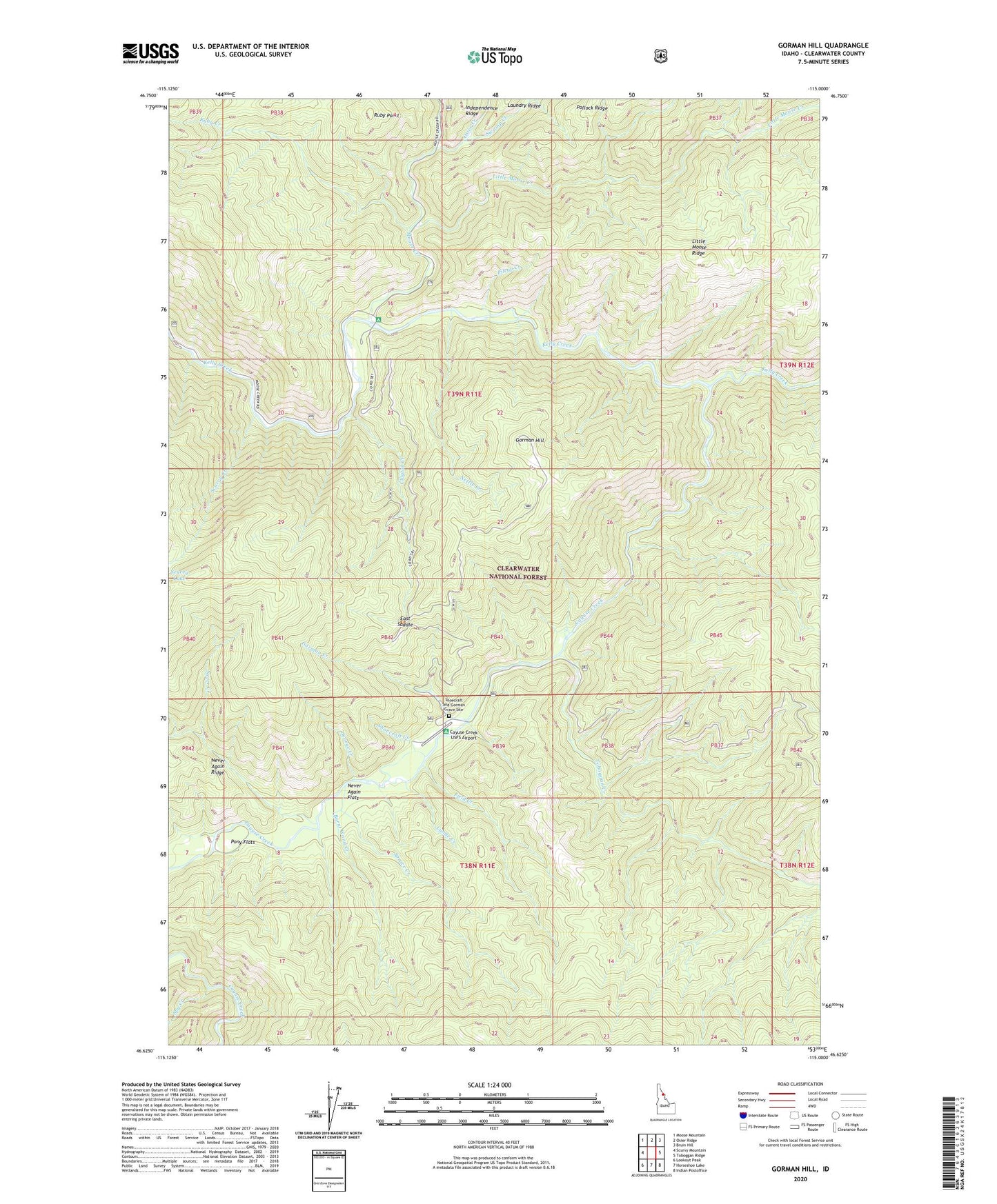
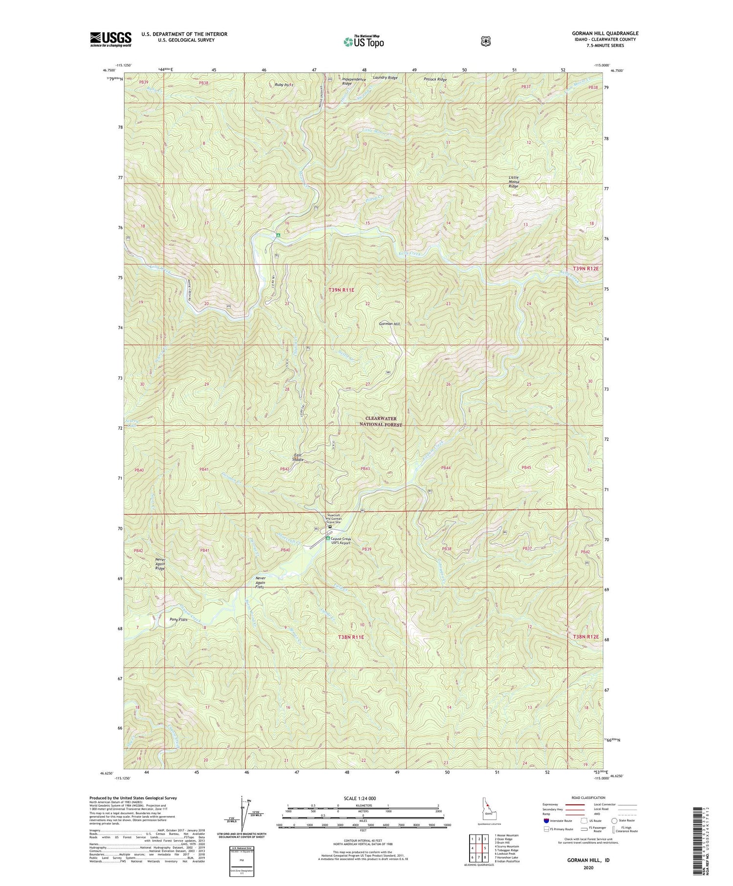
Gorman Hill Idaho US Topo Map
Couldn't load pickup availability
Also explore the Gorman Hill Forest Service Topo of this same quad for updated USFS data
2024 topographic map quadrangle Gorman Hill in the state of Idaho. Scale: 1:24000. Based on the newly updated USGS 7.5' US Topo map series, this map is in the following counties: Clearwater. The map contains contour data, water features, and other items you are used to seeing on USGS maps, but also has updated roads and other features. This is the next generation of topographic maps. Printed on high-quality waterproof paper with UV fade-resistant inks.
Quads adjacent to this one:
West: Scurvy Mountain
Northwest: Moose Mountain
North: Osier Ridge
Northeast: Bruin Hill
East: Toboggan Ridge
Southeast: Indian Postoffice
South: Horseshoe Lake
Southwest: Lookout Peak
This map covers the same area as the classic USGS quad with code o46115f1.
Contains the following named places: Burnt Wood Creek, Cayuse Creek, Cayuse Creek USFS Airport, Clayton Creek, East Saddle, Field Creek, George Creek, Gorman Creek, Gorman Hill, Kelly Creek Work Center, Little Moose Creek, Lunde Creek, Moose Creek, Nettle Creek, Never Again Flats, Never Creek, Osier Creek, Pileup Creek, Pony Flats, Ruby Creek, Ruby Creek Campground, Ruby Point, Scurvy Creek, Shoecraft and Gorman Grave Site, Shoecraft Creek, Spruce Creek, Spy Creek, Swamp Creek, Toboggan Creek