MyTopo
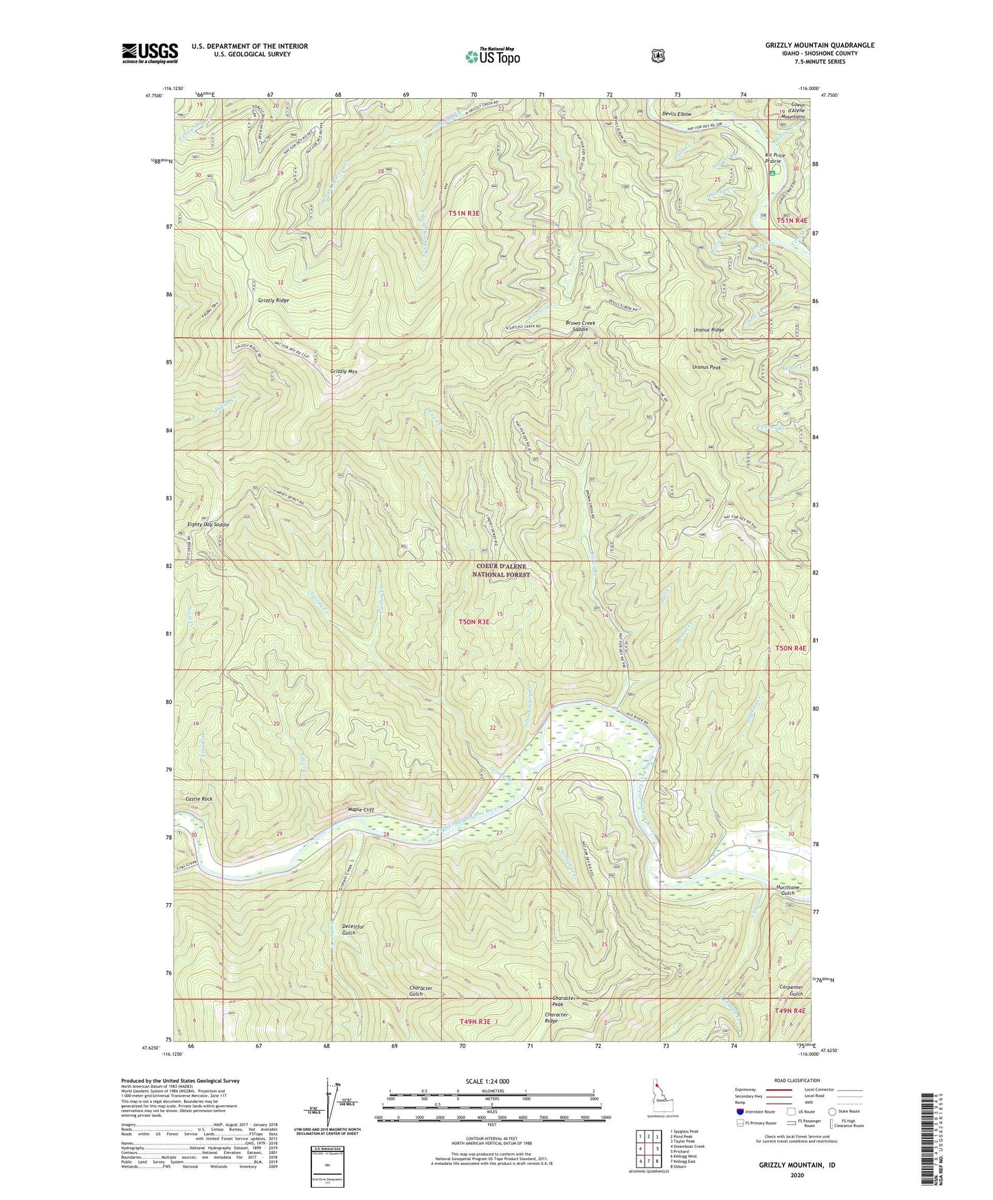
Grizzly Mountain Idaho US Topo Map
Couldn't load pickup availability
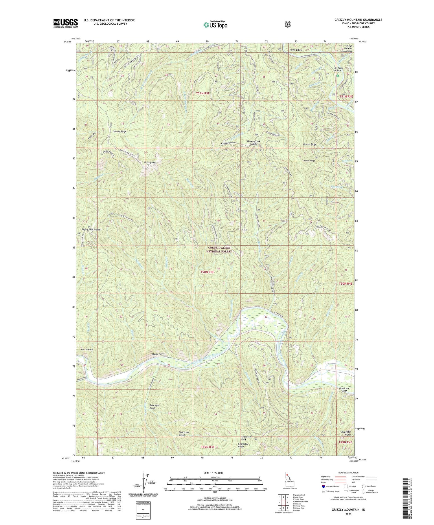
Also explore the Grizzly Mountain Forest Service Topo of this same quad for updated USFS data
2024 topographic map quadrangle Grizzly Mountain in the state of Idaho. Scale: 1:24000. Based on the newly updated USGS 7.5' US Topo map series, this map is in the following counties: Shoshone. The map contains contour data, water features, and other items you are used to seeing on USGS maps, but also has updated roads and other features. This is the next generation of topographic maps. Printed on high-quality waterproof paper with UV fade-resistant inks.
Quads adjacent to this one:
West: Steamboat Creek
Northwest: Spyglass Peak
North: Pond Peak
Northeast: Taylor Peak
East: Prichard
Southeast: Osburn
South: Kellogg East
Southwest: Kellogg West
This map covers the same area as the classic USGS quad with code o47116f1.
Contains the following named places: Brown Creek, Brown Creek Saddle, Castle Rock, Cedar Creek, Character Gulch, Character Peak, Cinnabar Creek, Coal Creek, Deceitful Gulch, Devils Elbow, Dewey Creek, Dry Creek, East Fork Downey Creek, Eighty Day Saddle, Falls Creek, Graham Creek, Grizzly Creek, Grizzly Mountain, Grizzly Ridge, Hart Creek, Harvey Creek, Hopkins Creek, Hurricane Gulch, Kit Price Campground, Kit Price Prairie, Lansdale Creek, Lindsey Creek, Little Grizzly Creek, Maple Cliff, Mercury Creek, Nelson, Rookie Creek, Short Creek, Silver Creek, Sissons Campground, Sissons Creek, Steep Creek, Stevens Creek, Tent Creek, Uranus Peak, Uranus Ridge, Venus Creek, West Fork Downey Creek