MyTopo
Hamer Idaho US Topo Map
Couldn't load pickup availability
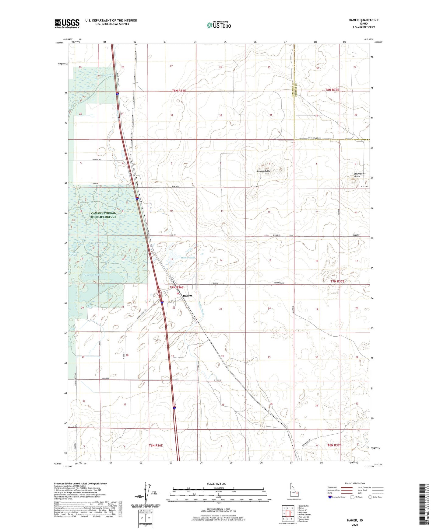
2024 topographic map quadrangle Hamer in the state of Idaho. Scale: 1:24000. Based on the newly updated USGS 7.5' US Topo map series, this map is in the following counties: Jefferson, Fremont. The map contains contour data, water features, and other items you are used to seeing on USGS maps, but also has updated roads and other features. This is the next generation of topographic maps. Printed on high-quality waterproof paper with UV fade-resistant inks.
Quads adjacent to this one:
West: Rays Lake
Northwest: Cedar Butte
North: Camas
Northeast: Dubois SE
East: Market Lake NE
Southeast: Deer Parks
South: Market Lake
Southwest: Mud Lake SE
This map covers the same area as the classic USGS quad with code o43112h2.
Contains the following named places: Beacon Butte, Beaver Creek, City of Hamer, Hamer, Hamer Ditch, Hamer Elementary School, Hamer Fire Department, Hamer Lake, Hamer Post Office, Rat Farm Pond, Raumaker Butte, Sandhole Lake, Warm Creek, Willow Pond, ZIP Code: 83425